In August of 2020 I set off to ride the great north trail, 900 miles from Nottingham to the top of Scotland. When I set off I wasn’t 100% certain why I wanted to do this ride. I wanted to prove to myself that I could do it, I wanted to experience some of the more remote and beautiful parts of the country, but there was other reasons, that I’d only work out as I went. I chose to use the ride to raise money for Parkinson’s UK. This is how it went

Before the start
I’d never done a backpacking trip before I started this ride. I’d done some long rides and a few back to back long days but never an over night trip and nothing close to the 2 weeks I had planned. I’d packed all my gear, done a few short rides to experience how the bike felt with everything on it, booked a load of train tickets and now there was nothing left I could do but wait and worry if I’d packed everything or if I would miss a train.
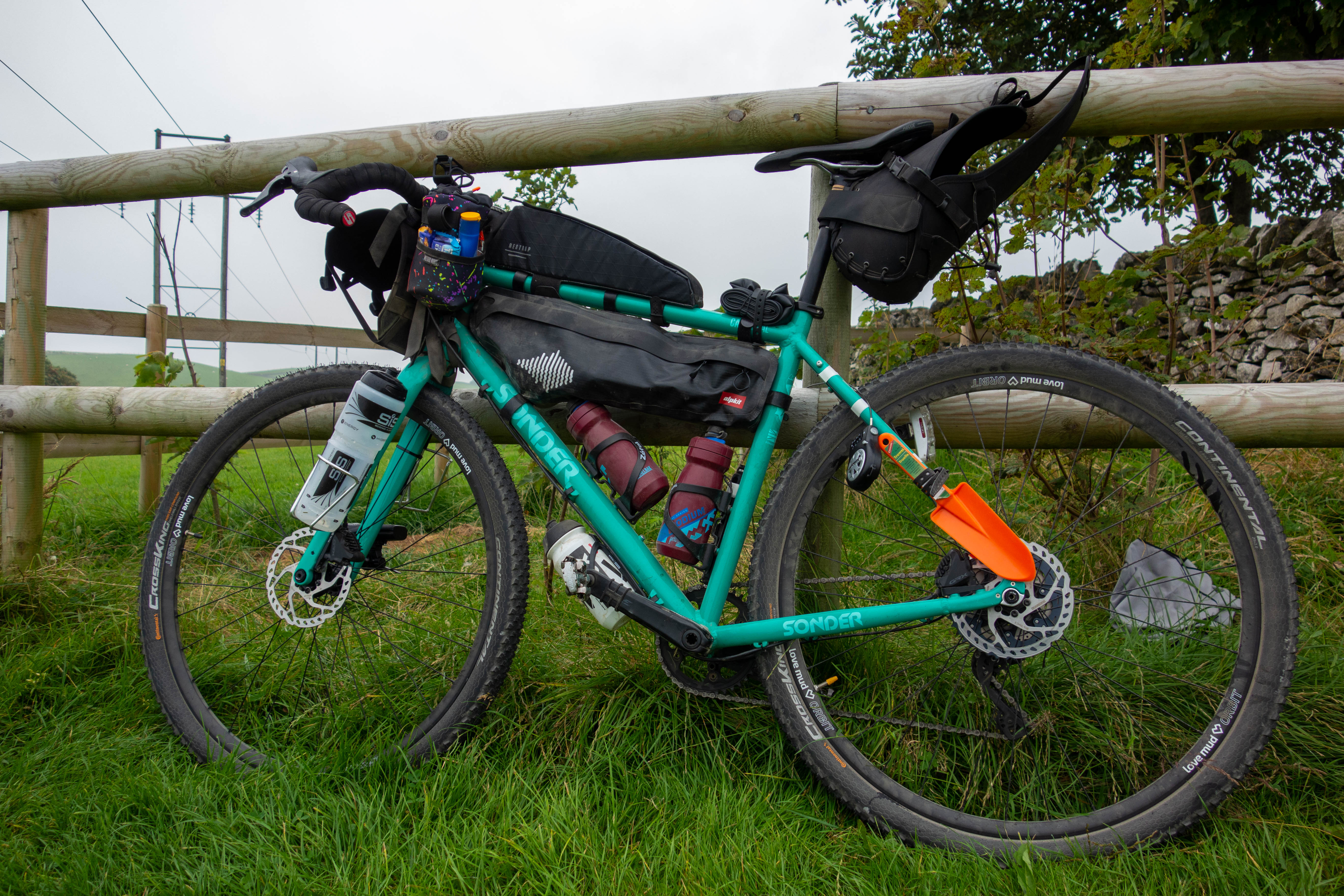
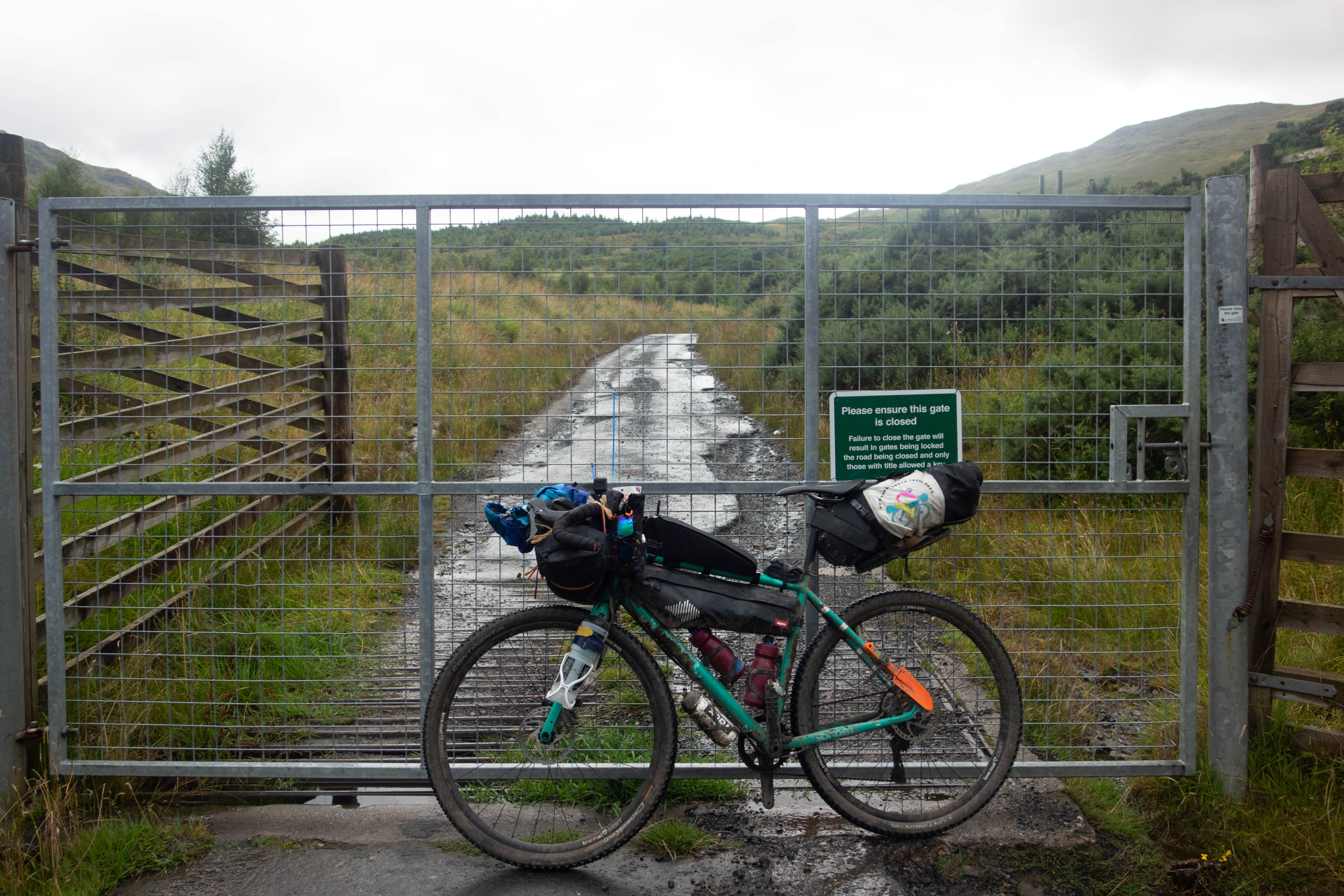
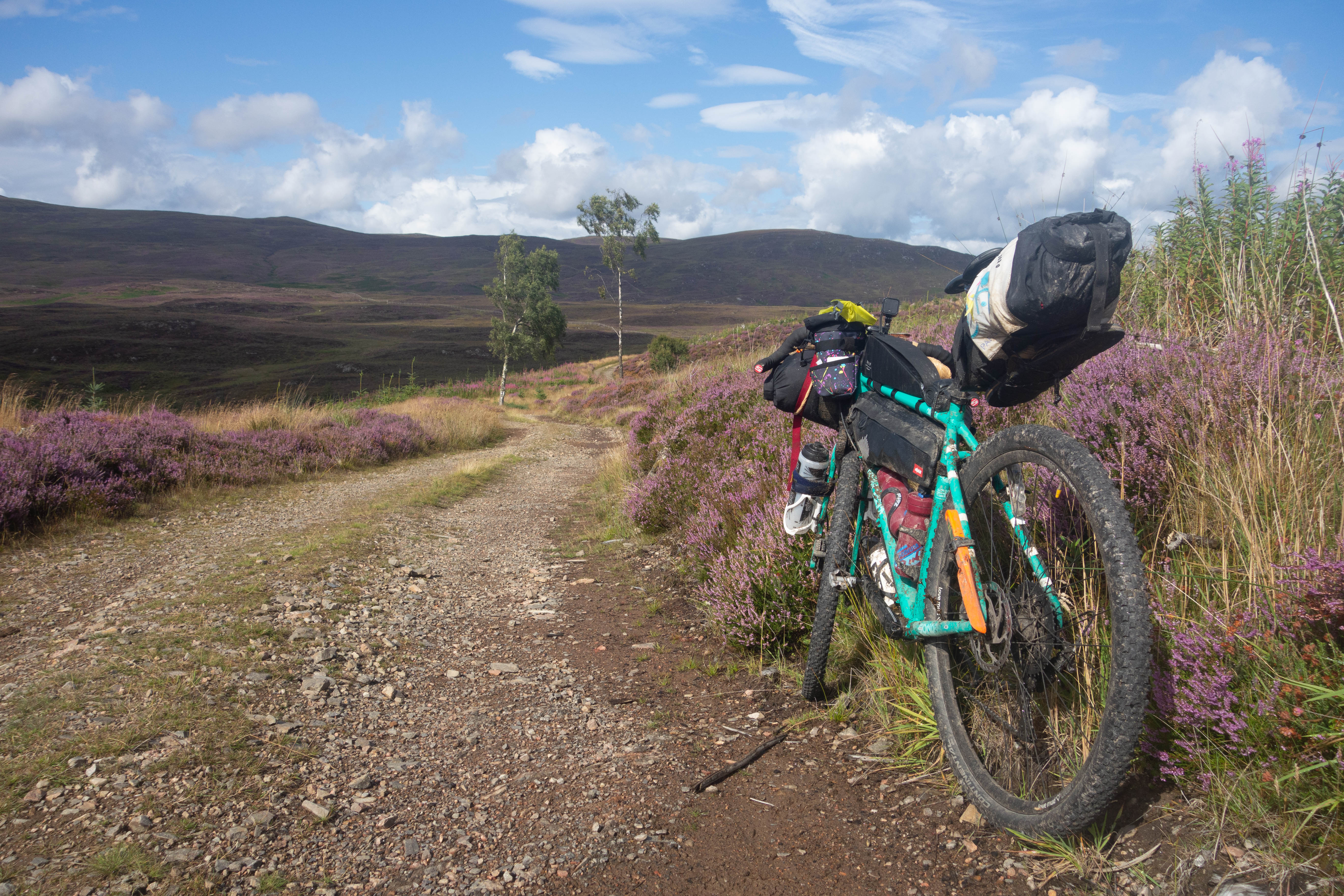
The Bike I had chosen for this trip was the Sonder Camino that I had brought earlier in the year, I’d changed the tyres to the biggest that would fit, added a few bottle cages and bought a selection of bags. (There isn’t a great deal of choice when you leave that to the last couple of weeks and everyone’s taken up cycling because of a pandemic.)
Prologue
Most of this day was spent getting to the start. It was pretty uneventful with a lot of time spent sitting on trains and a short amount of time spent running between platforms. Eventually I arrived at Cromford station – a small platform with no facilities and barely a single person there. It was nice to get off the hot train and into the fresh air.
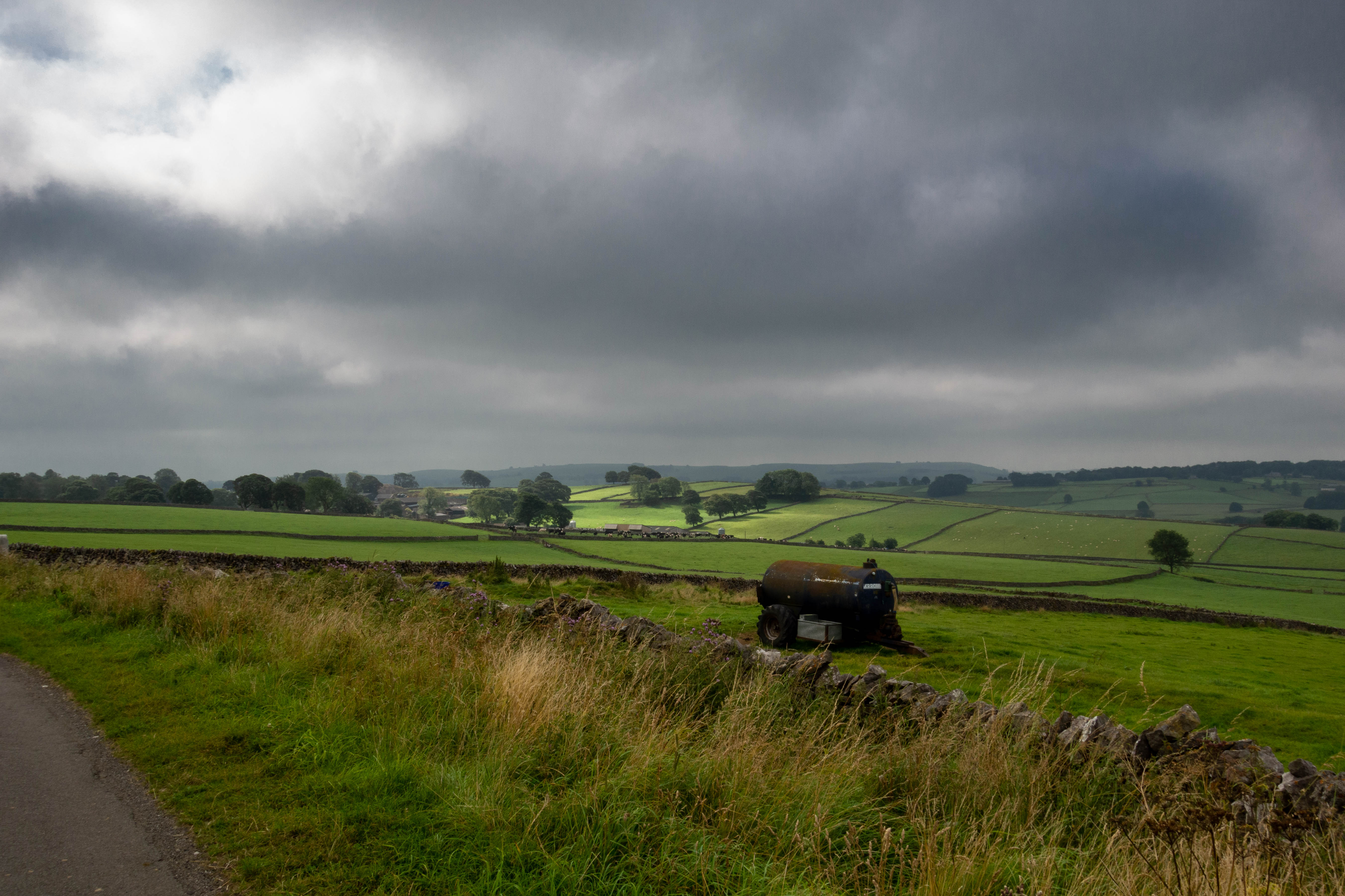
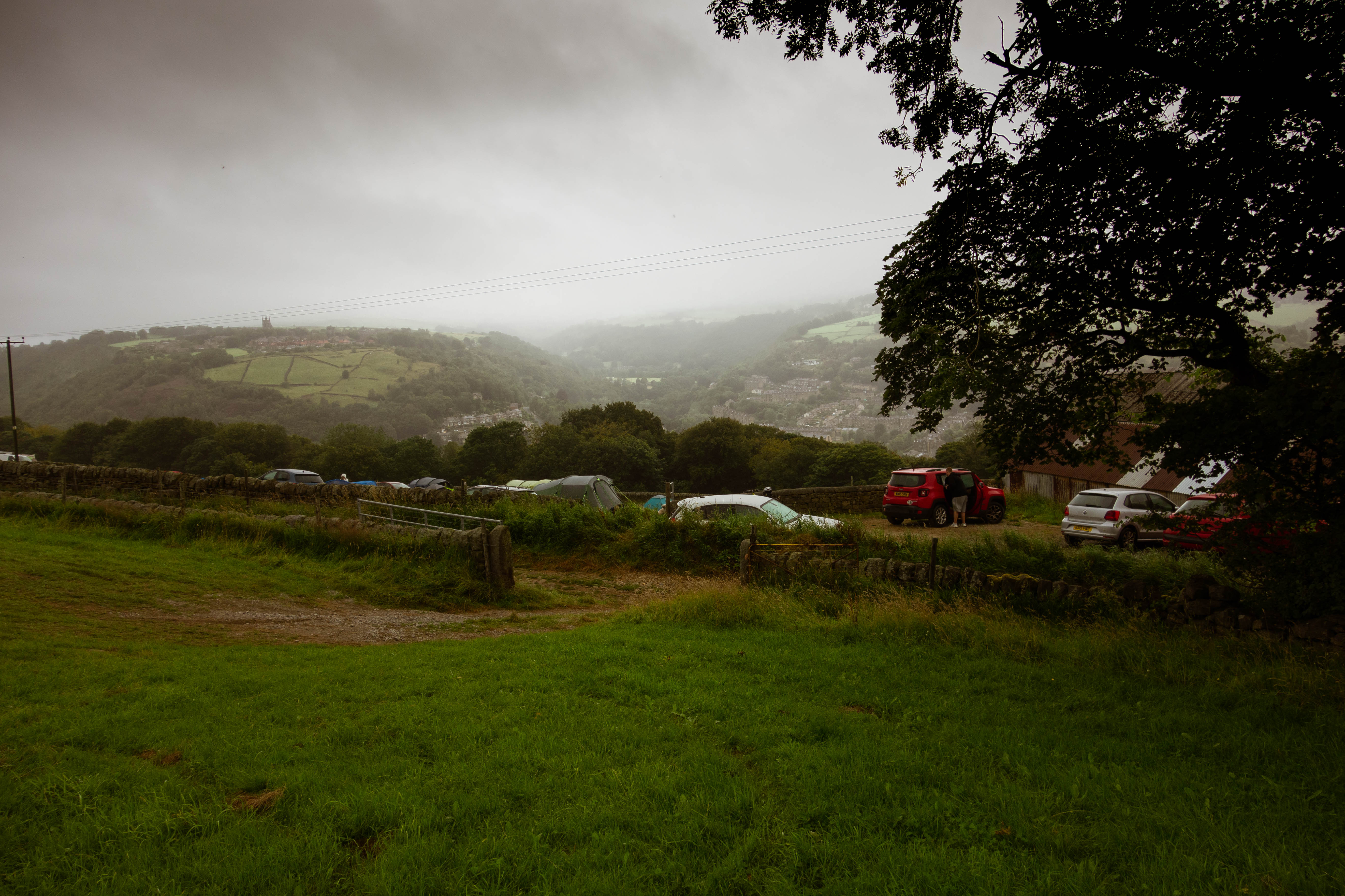
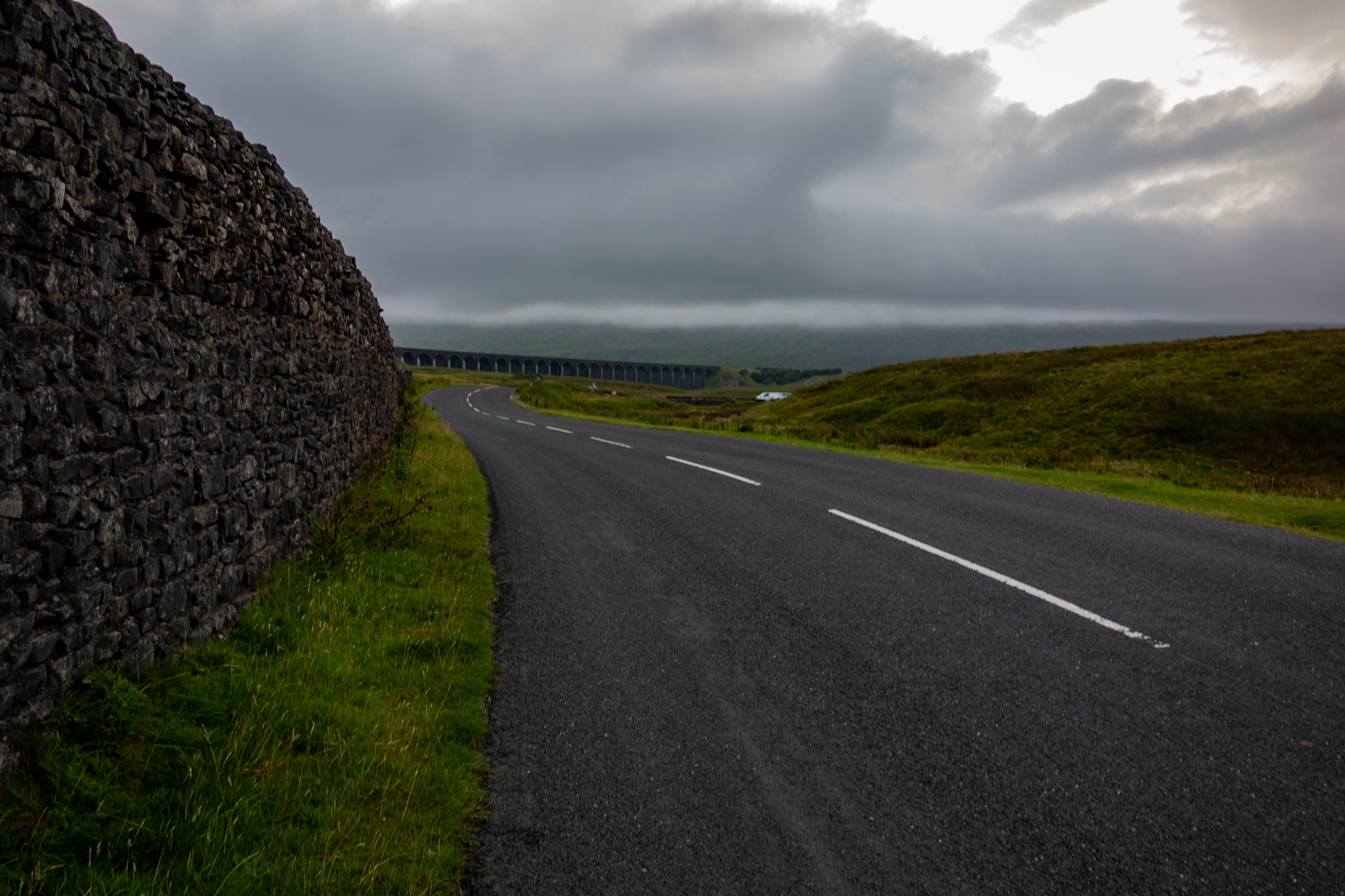
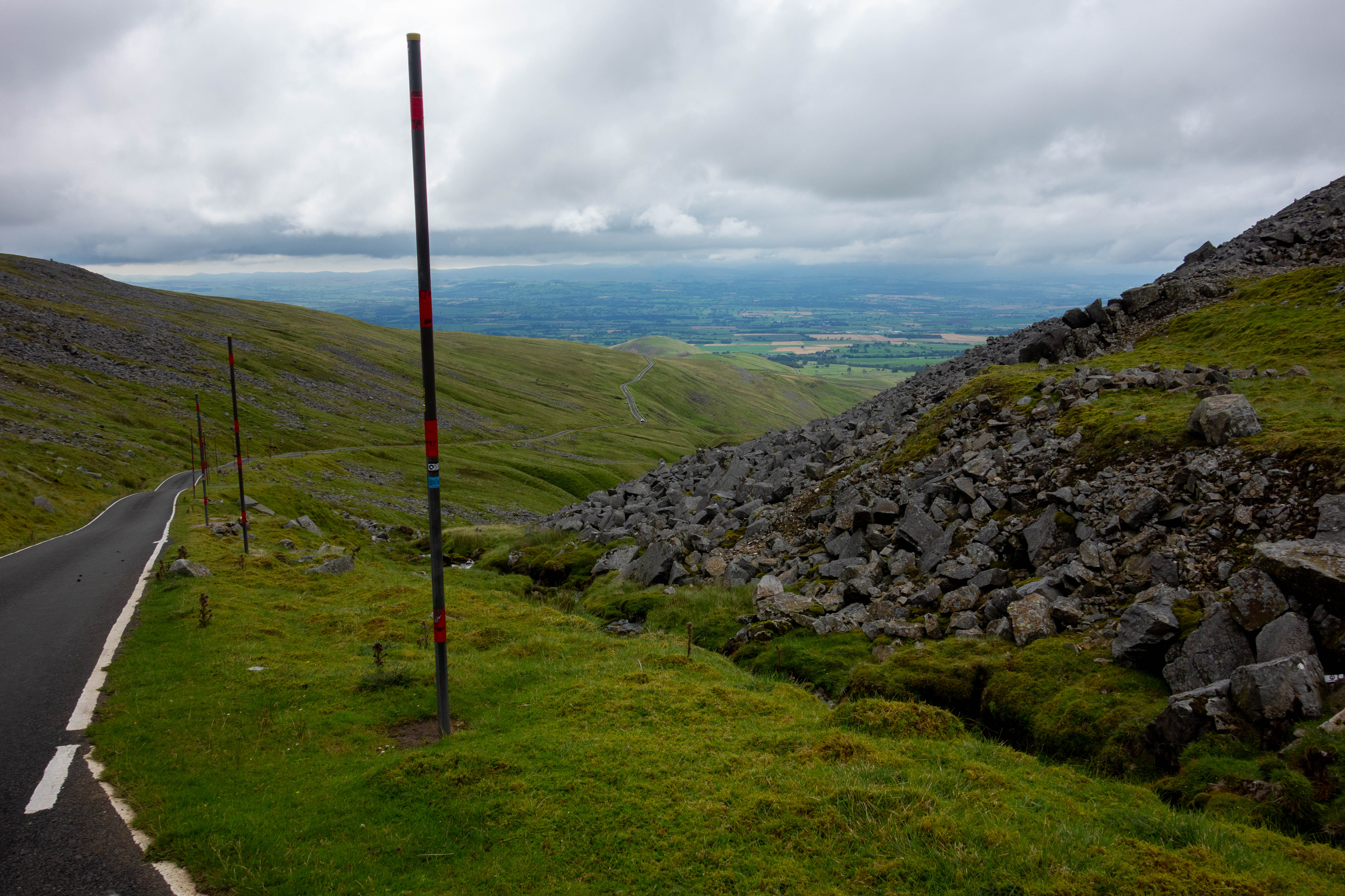
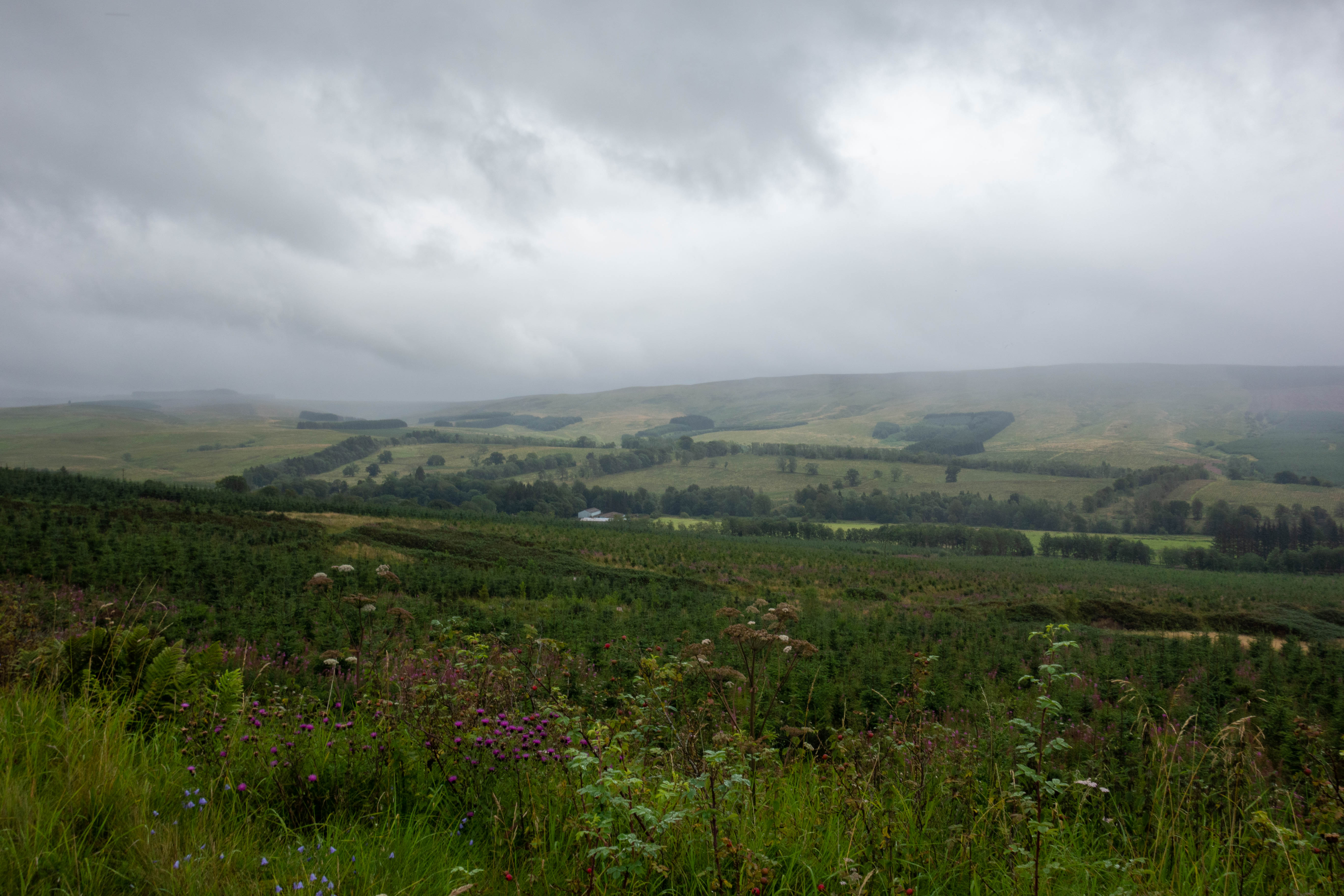
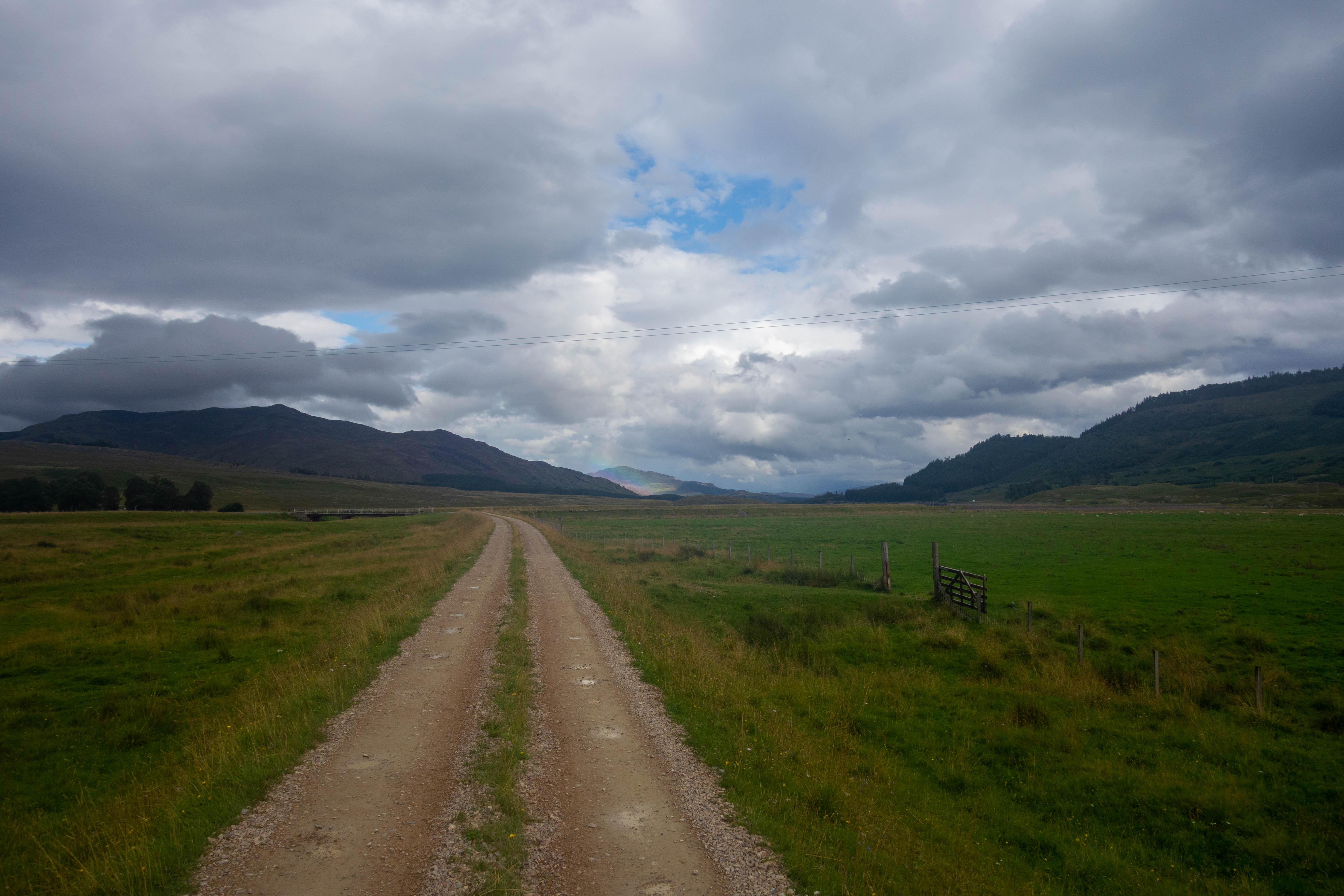
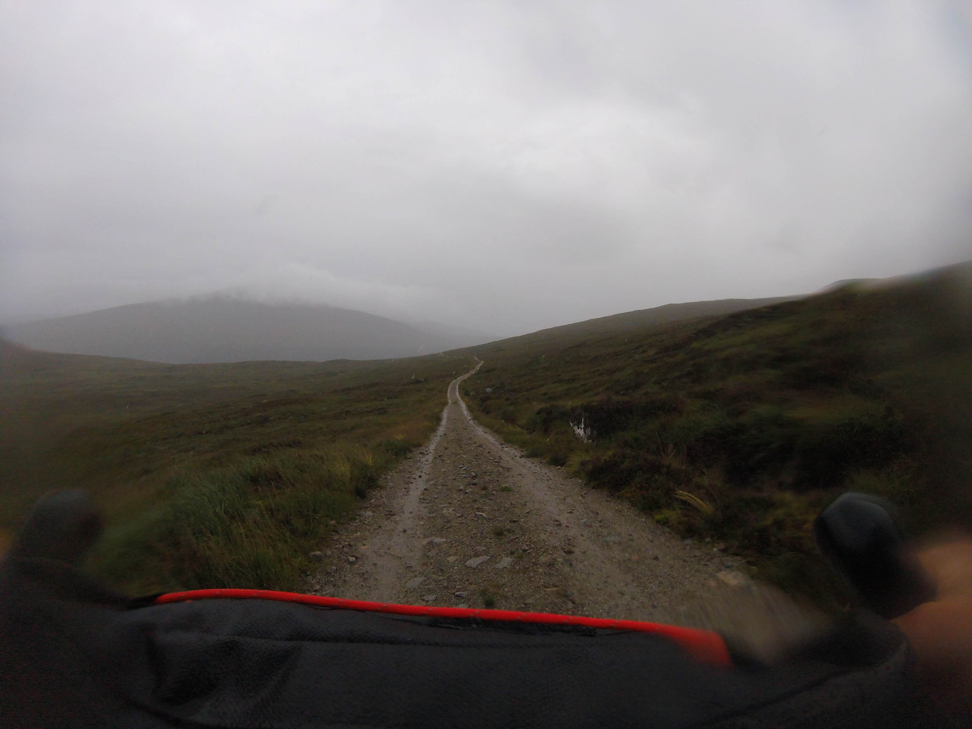
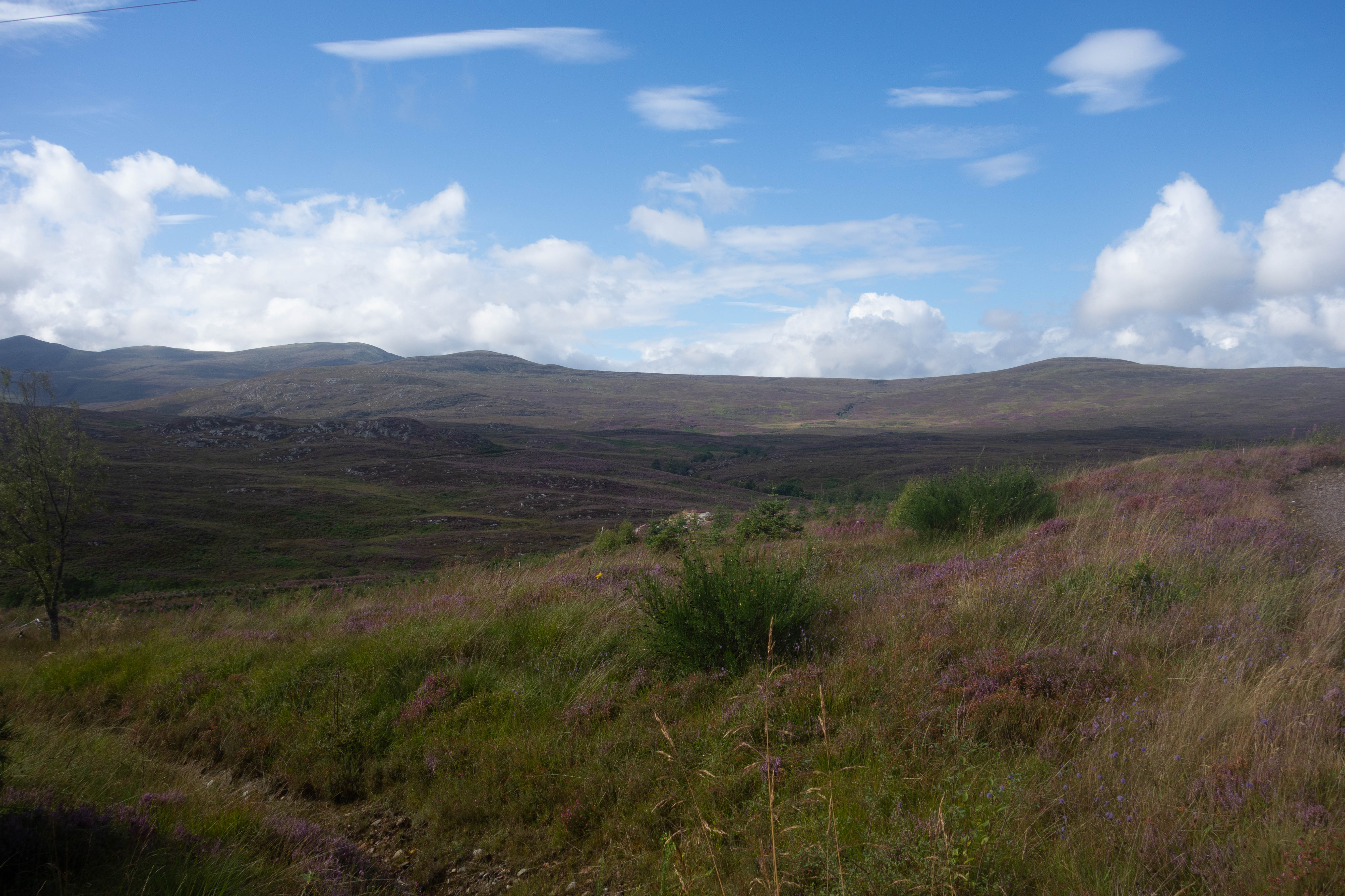
The Great North Trail officially starts at Middleton Top, a short ride from the station. This started off as a pleasant ride along the Cromford canal and then all of a sudden turned into a seemingly endless steep incline, this was the start of the High Peak trail. Once at the top the trail leveled out and after a few Km and another considerably shorter incline I reached Middleton Top and the official start. The High Peak trail follows the old railway line and is a well-surfaced and relatively flat scenic start to the ride. This was a deceptive start.
Day one
– Sterndale Moor to Hebden Bridge
The first day started off grey, with some quiet backroads and a few byways that led to a steep descent down to The River Wye, past some idyllic looking cottages and then back up a sharp winding climb to the other side of the valley. I managed to pedal up most of it and was greeted at the top by a waiting paramedic. It was an arduous climb but I wasn’t suffering that much! Turned out they were looking for someone else.
A combination of quiet roads and bridleways followed, past the No Car Café, which was, to my disappointment, closed. Some craggy rocky trails followed, with lots of large loose rocks and sections of bare rock, which made the descent sketchy and the ascents almost impossible in parts. A fun, fast descent took me down into Hayfield for lunch.
The climb back out of Hayfield was a long and strenuous one, but I was rewarded with some views out over the Peak District and another fast descent that caused the extra bottle cages on my fork to break off. Whilst I was struggling to reattach these to another part of my bike I was passed by three lads who were also bikepacking. I caught them up later and after some conversation, found out they were also doing the GNT, but only as far as Edinburgh.
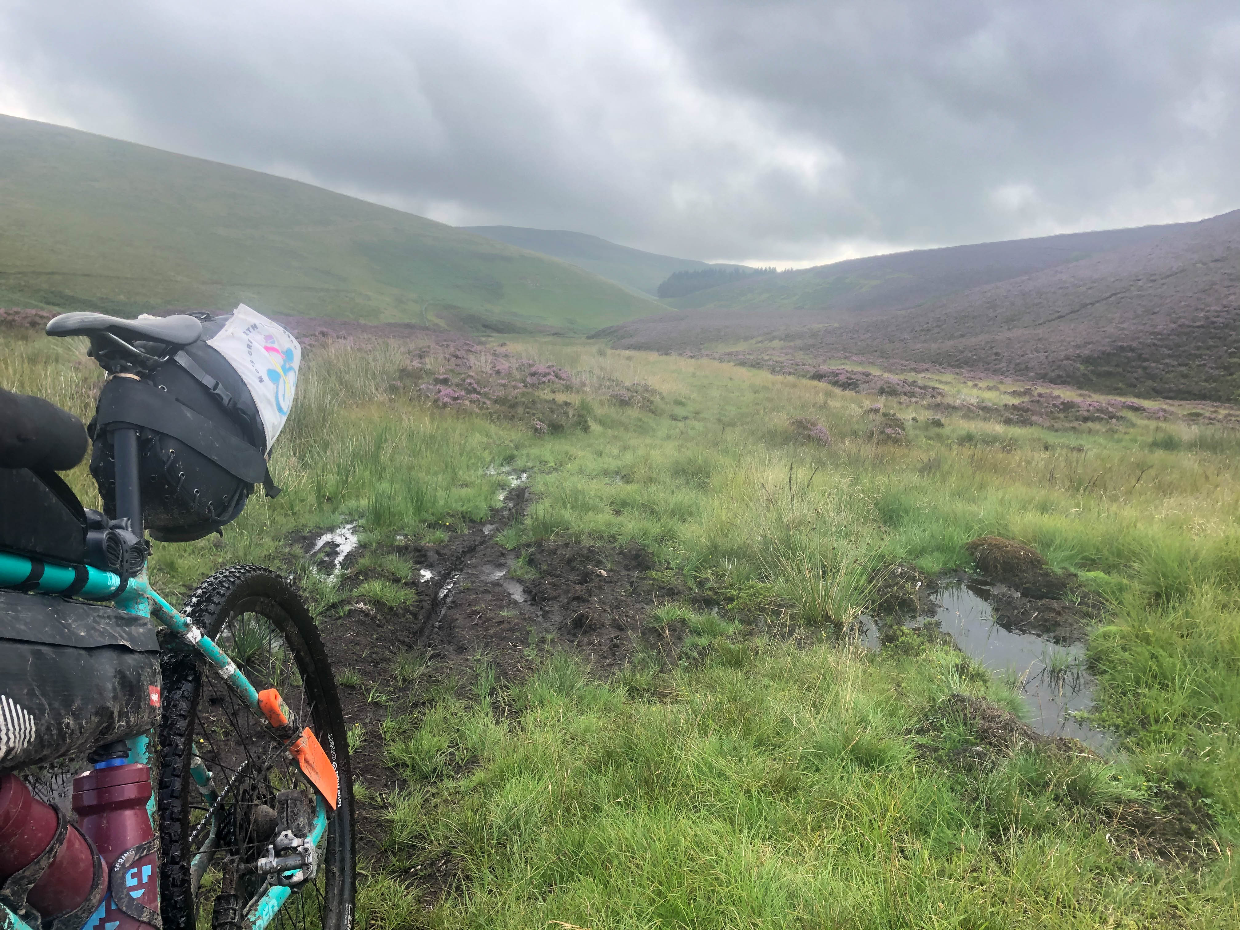
We parted ways and I continued on. The next part of the route was very hilly – up and down past many reservoirs and then down to Calderbrook, where I ended up going over the bars on the descent. The trail crossed the canal, main road and went up the moor on the other side for a bit before descending down a rather steep section of limestone pavement back to the road and canal.
I was feeling tired by this point and cross at the extra climb, rather than appreciating the scenery. I crossed the canal again and headed up onto the moor. In the grey dusk light the moorland seemed bleak and the limestone pavement made for an uncomfortable ride with no suspension. I was glad to descend off the moor and back onto some tarmac. I rode past a few pubs, toying with the idea of stopping to eat, but decided to keep going in the hope of finding the campsite before it got too dark. The tarmac road turned into a byway that mercifully skirted round the hills this time. I had no energy left by this point but I pressed on, hoping the campsite would appear soon. Finally, after a rough farm track that was more pothole than track, it did. To my surprise, the three lads I had met earlier arrived at the same time from the other direction.
This was probably the hardest day of cycling I’ve done up till now.


Day TWO
– Hebden Bridge to Ribblehead Viaduct
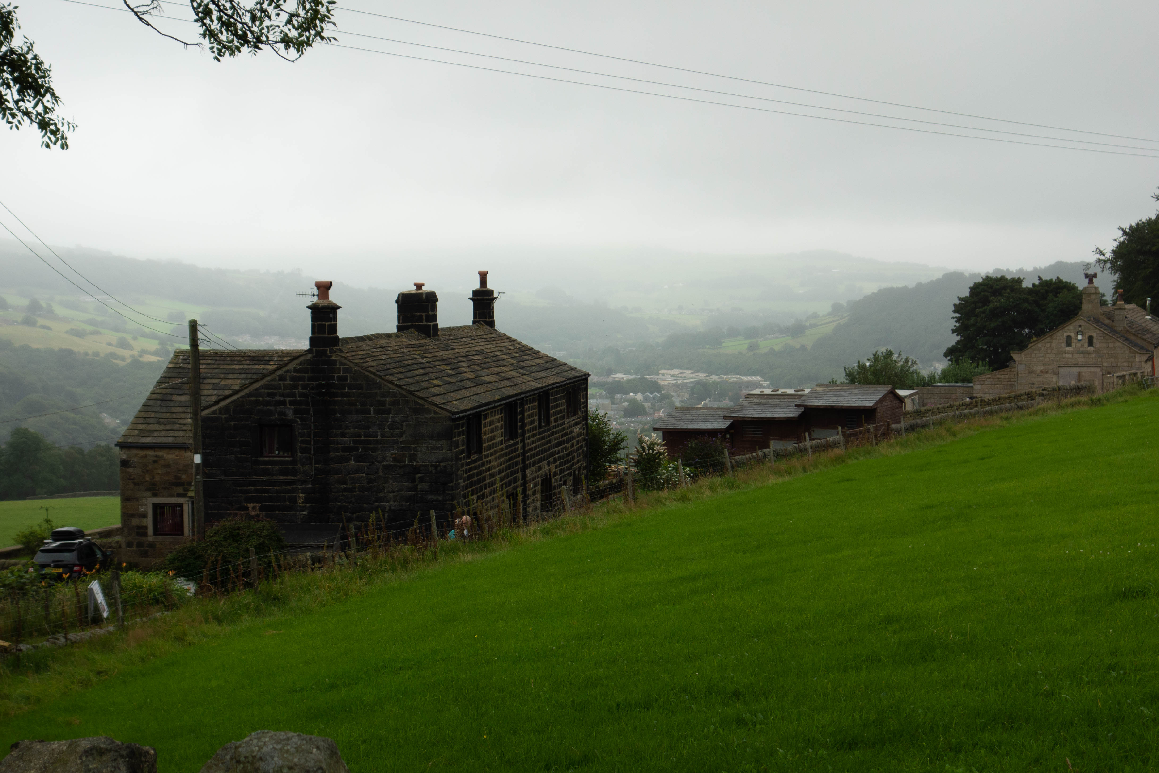
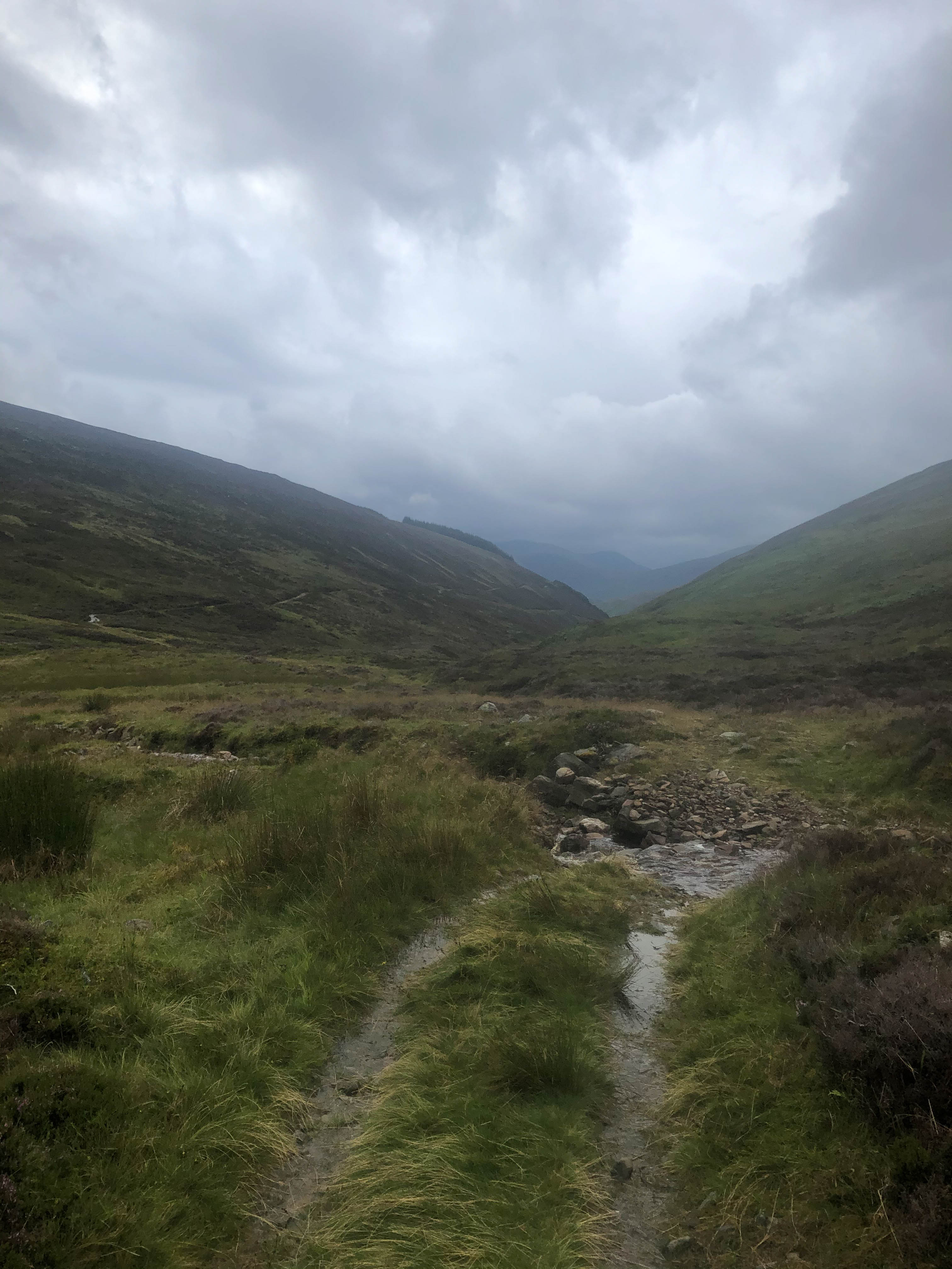
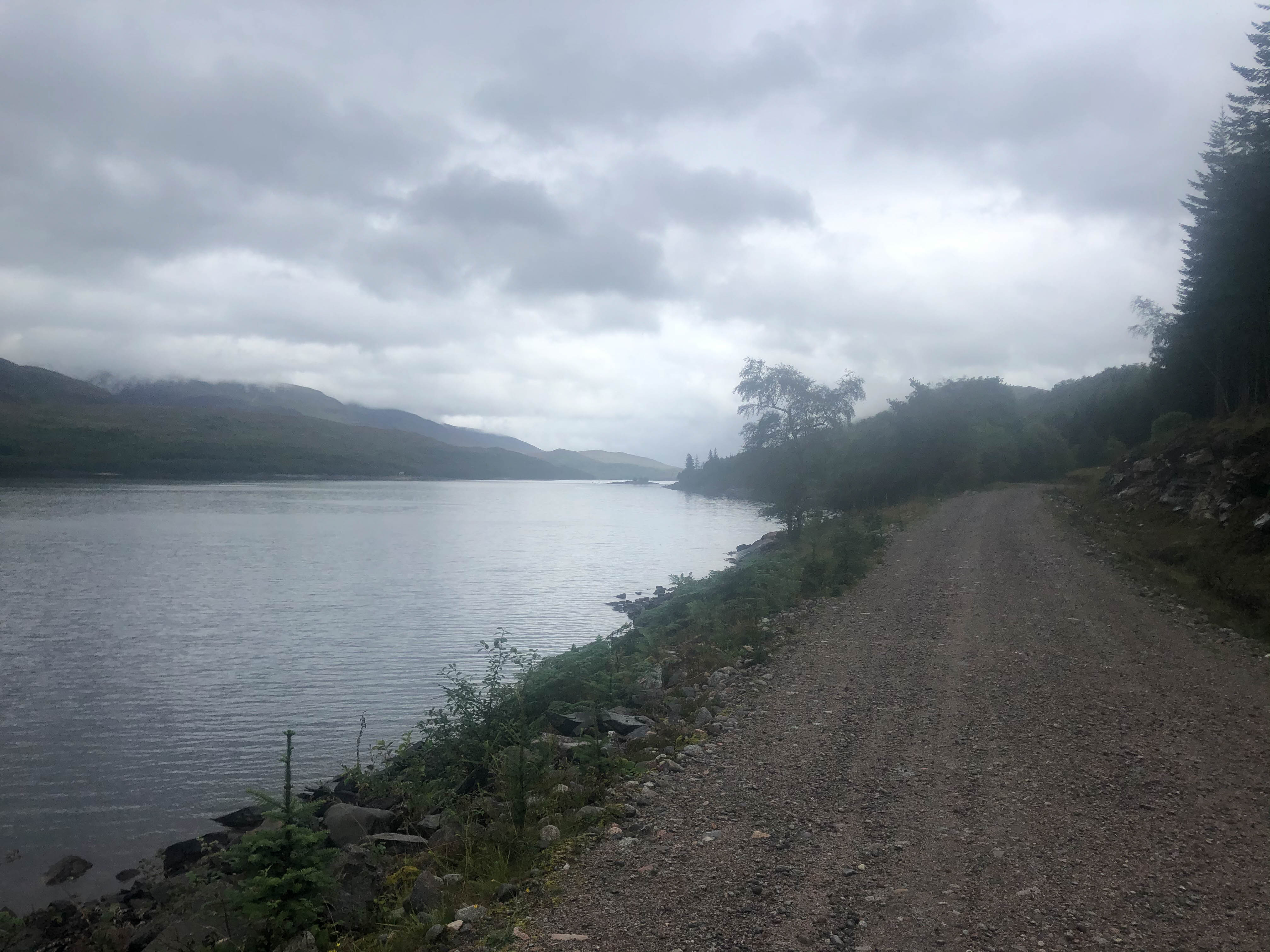
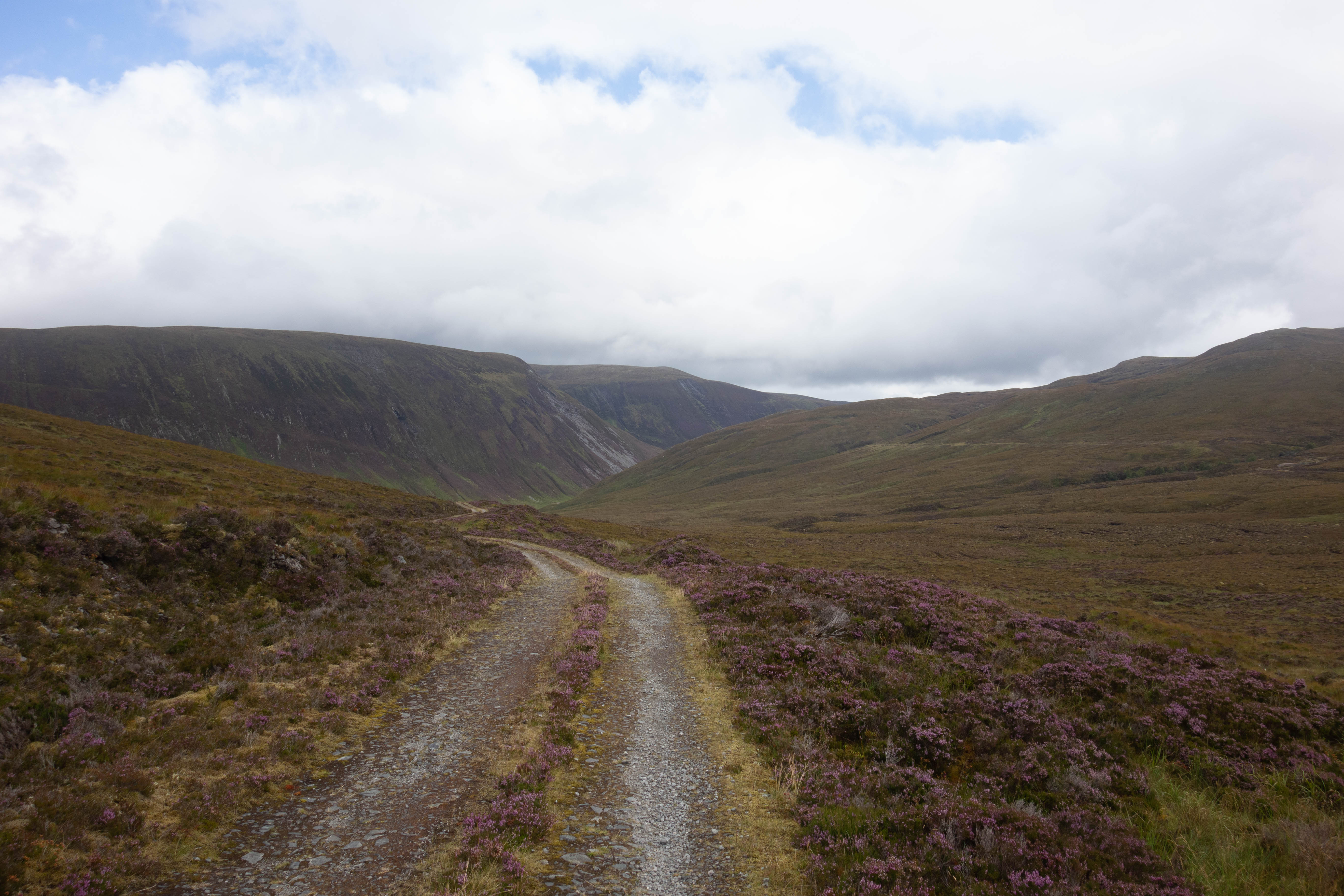
It was a damp start to the day and a mist was hanging over the valley. After a breakfast roll at the campsite I rode the wet descent down into the town of Hebden Bridge to find a shop and get some snacks for the day’s ride. The climb out of Hebden Bridge was really steep. I chose to follow the road for a short while until I picked up the GNT route again, mostly because I thought this would be an easier start. Little did I know that the 3.3km, (225m) route I had chosen up Mytholm Steeps features in “Another 100 Greatest Cycling Climbs” and has a max gradient of 25%, which, with all my kit on the bike, reduced me to walking. I joined the trail and climbed up onto the moors, passing several more reservoirs before a lovely long descent led me to a wonderful series of switchbacks and a horrendously wet and rutted track. The track took me down into a small hamlet where there was a window to buy coffee and cake from.
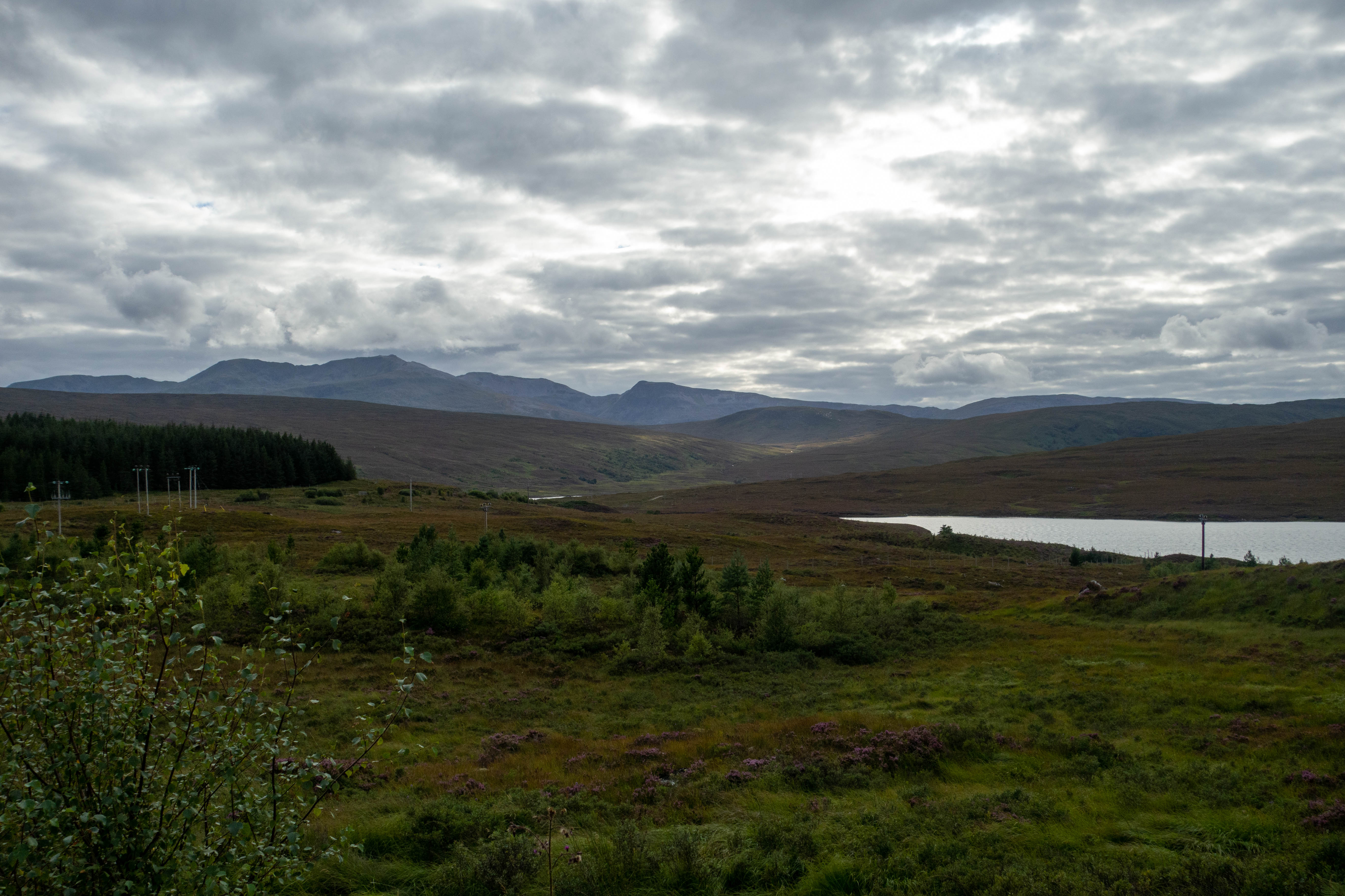
The route continued through farmland, past some sort of “Covid safe” concert with deck chairs set up in small squares and along bridleways that were more like fields of grass than paths. I made sure to stop at a pub for a proper lunch this time before heading over another short section of moor and down into Settle. I took the backroads rather than the next climb, before picking up the official route again near Helwith Bridge. The trail turned off the road and followed some good bridleways and old droves that took me up onto the moor once again. It started raining and this section was quite misty. As I wove my way along the hill past the odd sheep I was treated to a view out over a fantastic section of limestone pavement, before a descent took me back to the B679 and a nice ride down to the Ribblehead Viaduct. I ended the day with dinner in The Station Inn and contemplated staying but couldn’t justify the price. I rode on a short way, saw about 3 different owls and camped just off the track at the base of the next climb.

Day Three
– Ribblehead Viaduct to Haltwhistle
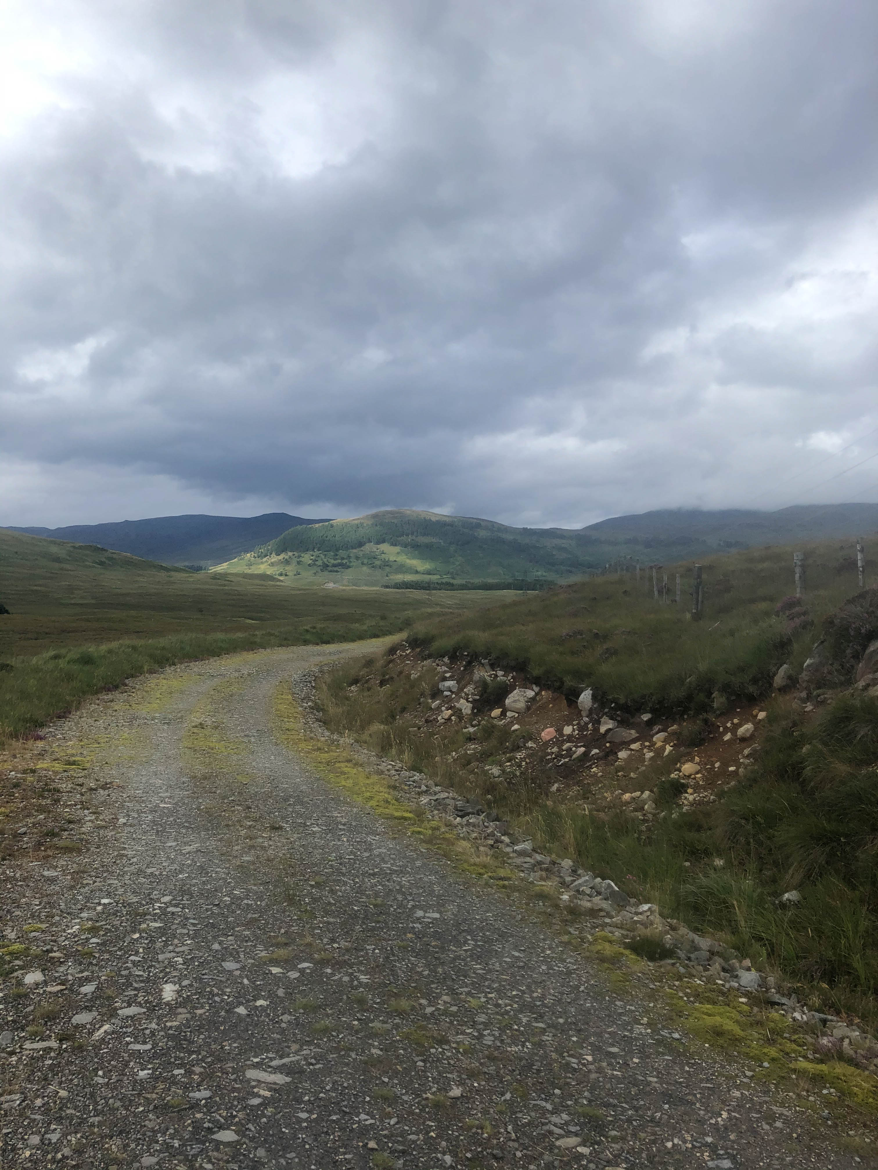
Day three started with a steady climb up Dodd Fell. The climb was, for the most part, a decent gravel road, maintained for access to nearby forest. As I climbed into the cloud it got very wet and visibility reduced. To my surprise the track turned into tarmac for a while before turning back into rutted and washed out gravel. I descended along the edge of the Fell and down into Hawes where I got a good breakfast at The Wensleydale Pantry before heading off again.
I couldn’t find the track for the next section. I think I had missed a gateway and the GPS was telling me to go through a fence, so I decided to stay on the road instead, trying to catch up on time lost to the slow going of the previous days. It was a really beautiful section of road, riding with views down the valley and hardly any traffic. I turned off the main road by Pendragon Castle and rode some muddy bridleways which were mostly just fields with no path, following farm tracks before heading into Kirkby Stephen where I refilled my water bottles at the campsite I’d planned to stay at the previous night. It was busy in town, so after a quick look in the outdoor shop to see if they had any dehydrated meals to replace the one I ate on the first night (they didn’t) I headed on towards Appleby. This section of the route was a mix of nice quiet byways, a really shit bridleway through a farmyard full of slurry, a push up a hill where the path was mostly covered in hawthorn bushes and some more fields of long grass with little that resembled a path to follow.
Finally some backroads took me into town. Appleby-in-Westmorland was a disappointment. Despite looking promising on the map, I couldn’t find any cafes for lunch and had to settle for a sandwich eaten outside the Co-op. My front brake had been making a terrible noise since the long wet descent this morning and I wanted to get it sorted before taking on Great Dun Fell. I stopped off at the local bike maintenance shop on the edge of town. The people at Helmwind Cycles were really helpful and knowledgeable. They fixed my brake, fitted some new bottle cages to replace the two that fell off on day 1 and even made me a cup of coffee.
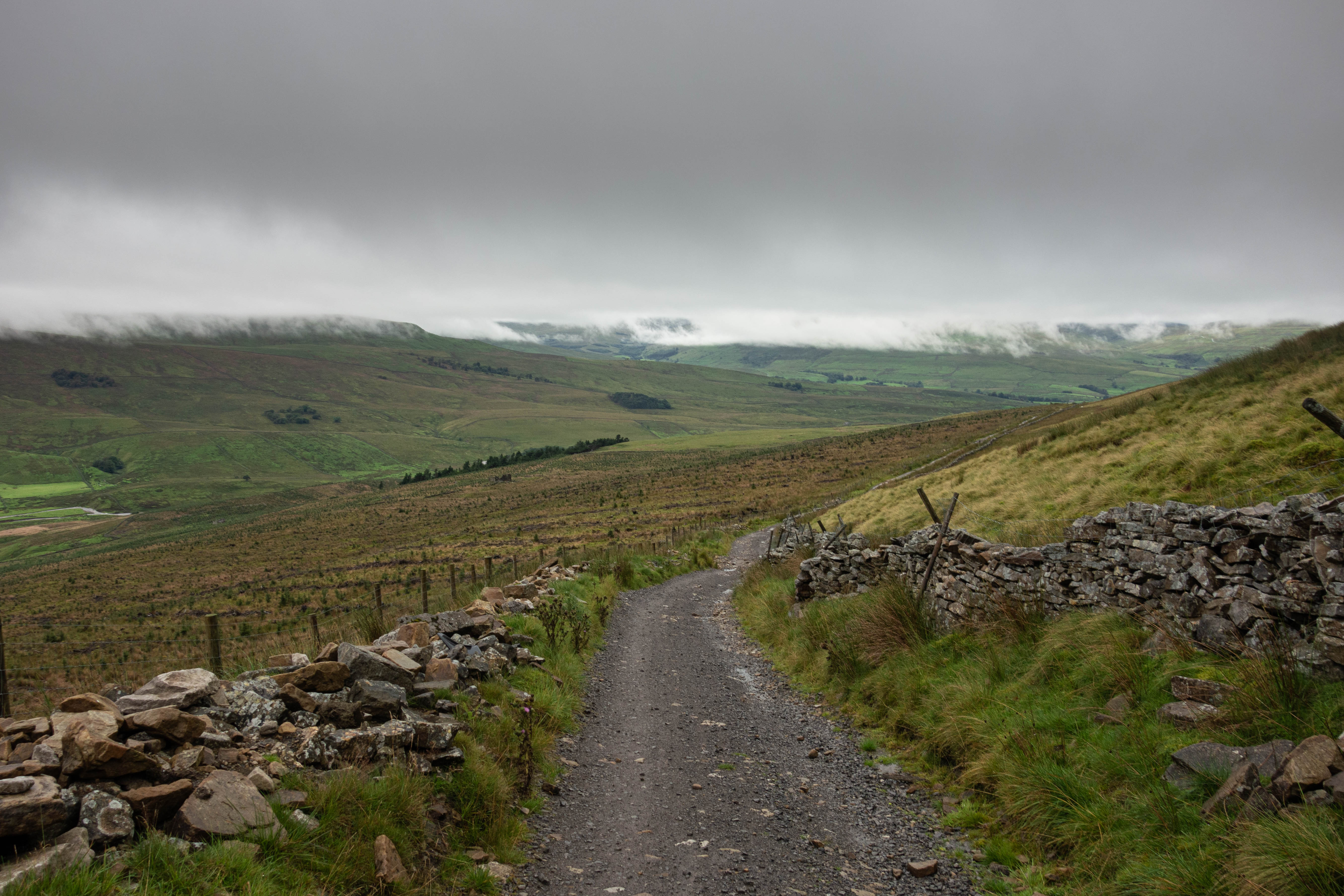
I rode out of Appleby along some quiet backroads and a few tracks towards the bottom of the next climb. This was the biggest single climb on the whole trail and although I didn’t know it at the time, it’s considered to be one of the greatest and hardest climbs in England. The road up Great Dun Fell is inconspicuous at the start, but then it just keeps going up. You can see the radar station high up in the distance as the road winds its way up towards it.
I stopped halfway up to watch the shepherds and their dogs round up a flock of sheep. This was the longest and hardest climb I’ve ever done. There’s nothing remotely like this in the South and the only blessing is the surfacing. What’s marked on the map as a bridleway is tarmac all the way to the top. The bridleway down the back of Great Dun Fell is the complete opposite. The trail is shit at best and in most parts nonexistent. It follows The Trout Beck down through a wonderful expanse of empty moorland to The River Tees. This was both a blessing and a curse, as the beck gives you something to follow but it has also washed away most of the sections of path. I was left scrambling across the stream, walking through bogs and trying to avoid the midges that attacked me every time I stopped. I walked/ran to avoid the midges for most of this section and managed to only drop my bike in the stream once. This went on for about 4 km before the stream joined the river and a proper bridge and track emerged. I was grateful to see this.
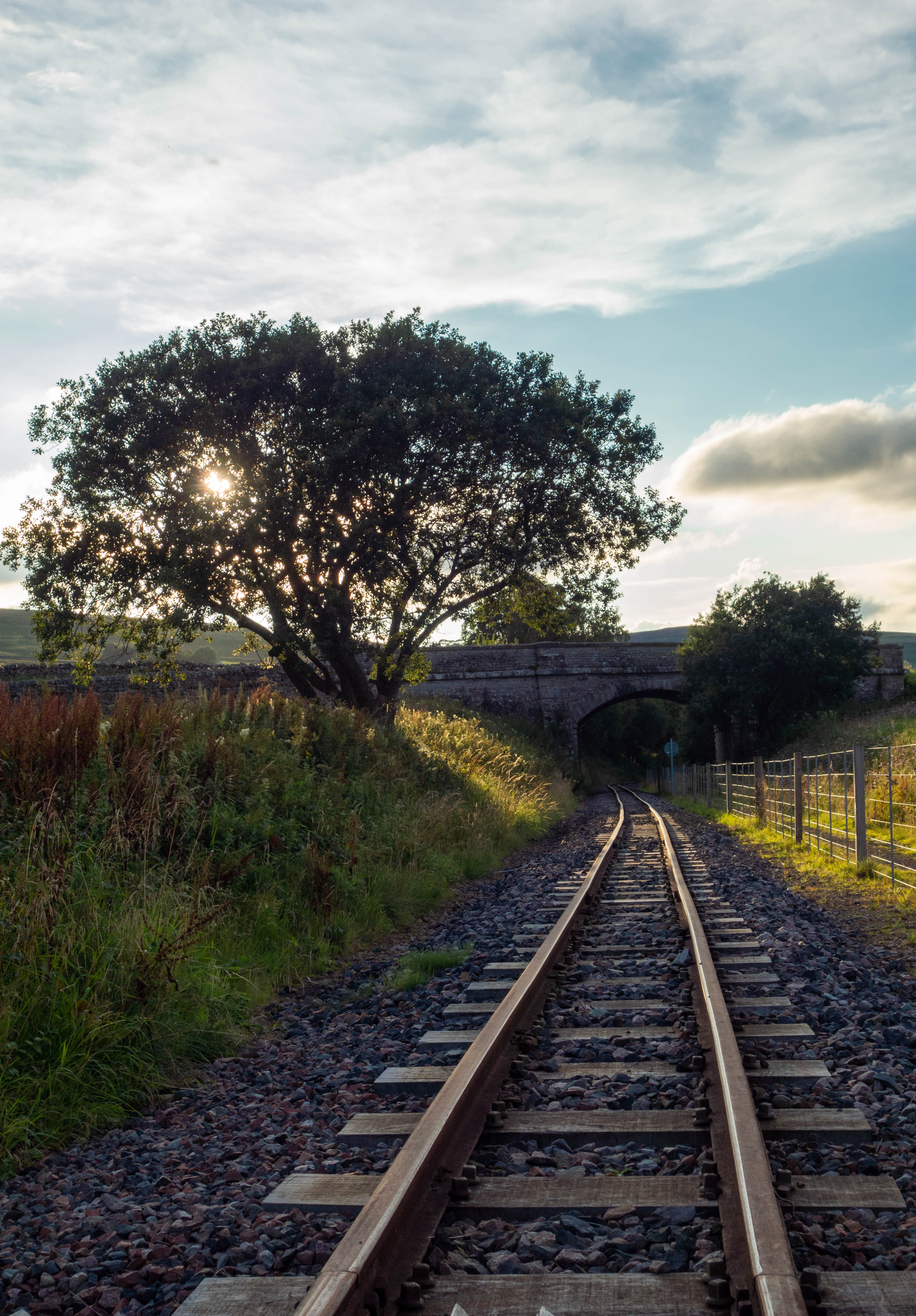
The gravel track down was amazing riding and I felt like I had earned it. The following roads took me to Alston where I got pizza and chips from a takeaway on one side of the square and a beer and water refill from the pub on the other side, before following the old South Tynedale Railway line to Haltwhistle. This was lovely, mostly flat on good surface with the sun setting over the nearby hills. I made good progress, apart from where someone had built a house on the old railway line just before the Lambley Viaduct which resulted in a walk down the side of the valley and a carry back up the steps to the Viaduct. The views from the viaduct were worth it.
I stopped in Haltwhistle to buy a can of beer for the evening and a bottle of milk for the morning, before heading on past Hadrian’s wall. I had originally planned to stay in Green Bothy in Kielder Forest, but realizing I wasn’t going to make it, set up camp in a small coppice beside the road.


Day Four
– Haltwhistle to Glentress
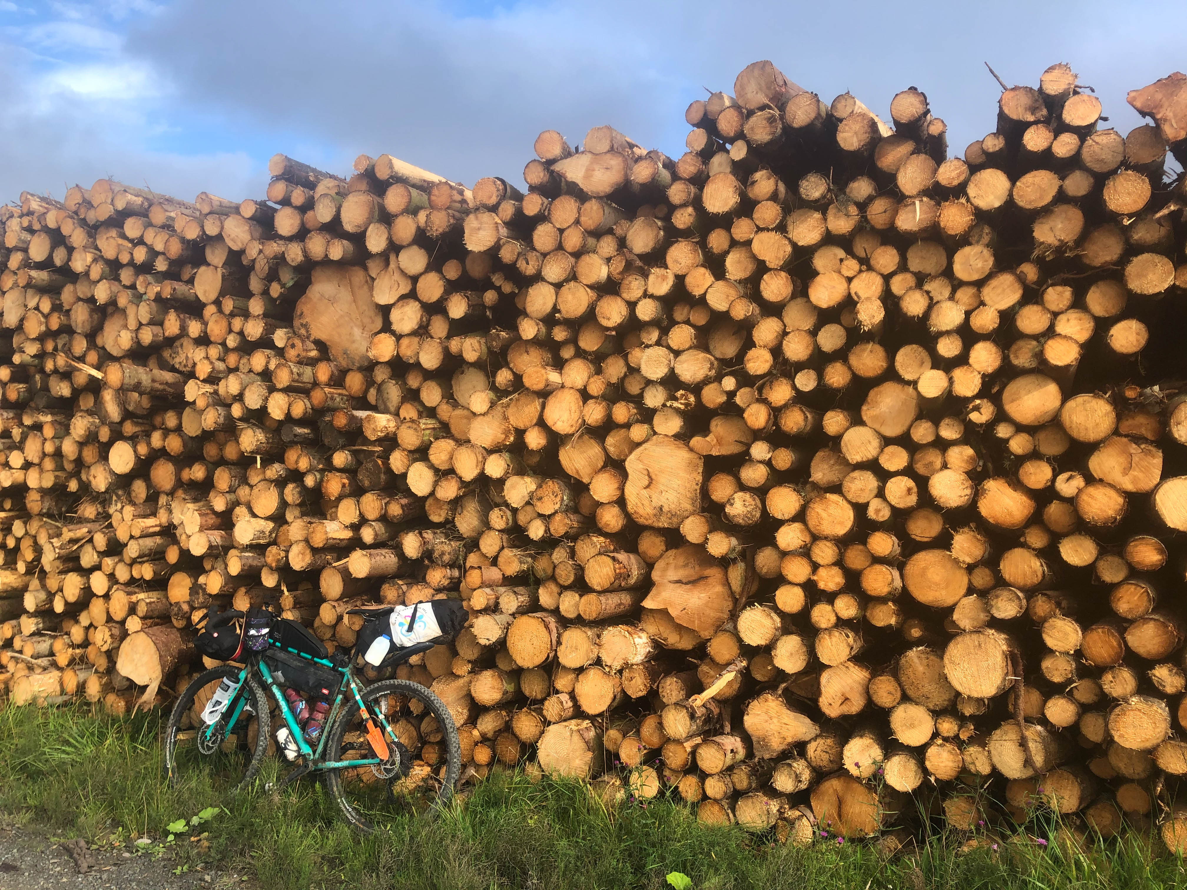
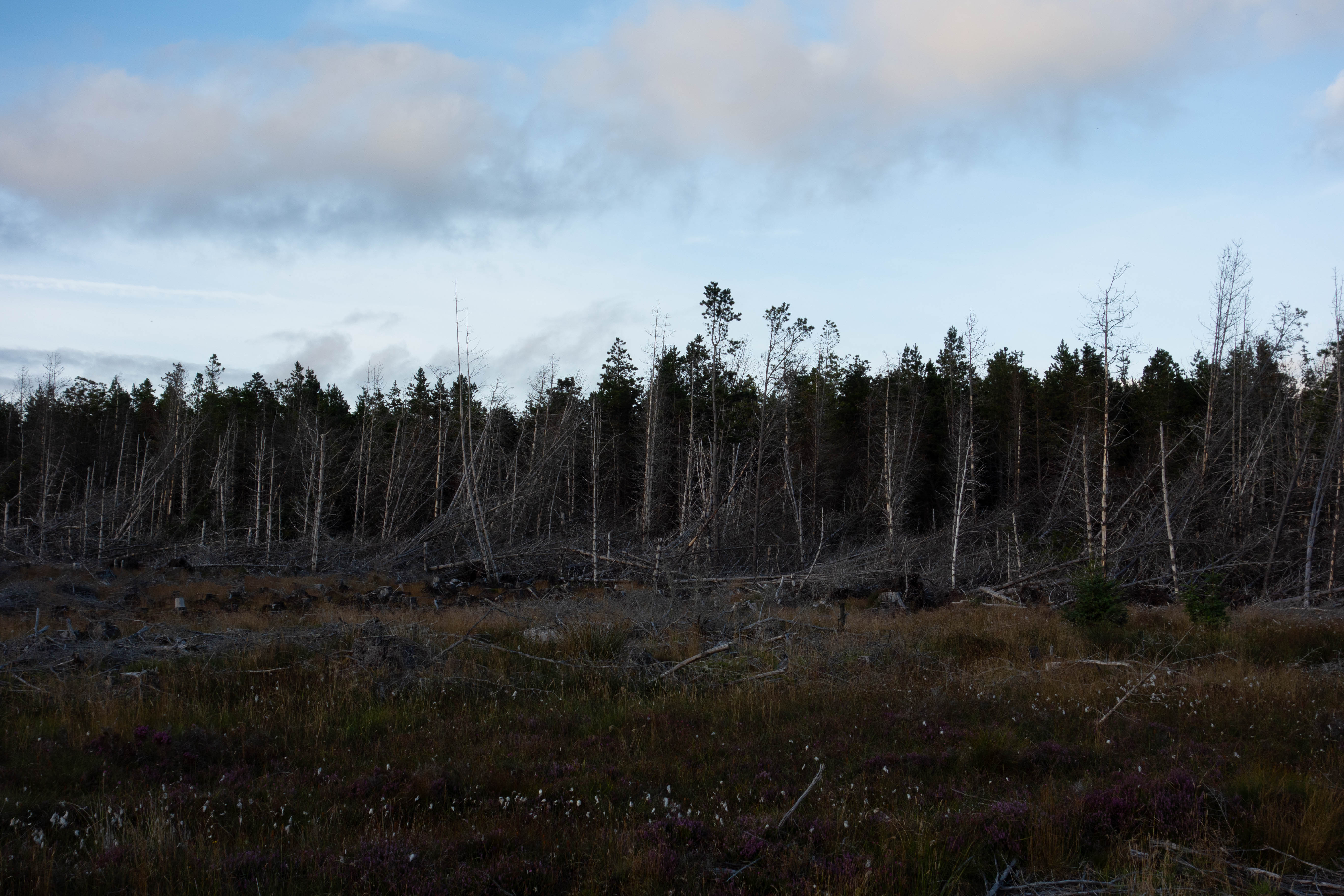
It was a misty start to the day and I watched a shepherd on his quad bike feeding the sheep whilst I cooked breakfast. A pleasant but cold ride through the undulating landscape of the borderlands led me into Kielder Forest and some fabulous riding on well-made forest roads. I rode past Green Bothy, where I had planned to stay last night, past swathes of felled trees, log stacks and pine trees and down to Kielder Water and 2nd breakfast at The Waffle Cafe. Whilst I was eating my waffle breakfast (it was a bit weird but tasted pretty good) two bikepackers passed and I set off as soon as I had finished, along the purpose made cycle trail round Kielder Water, trying to catch them.
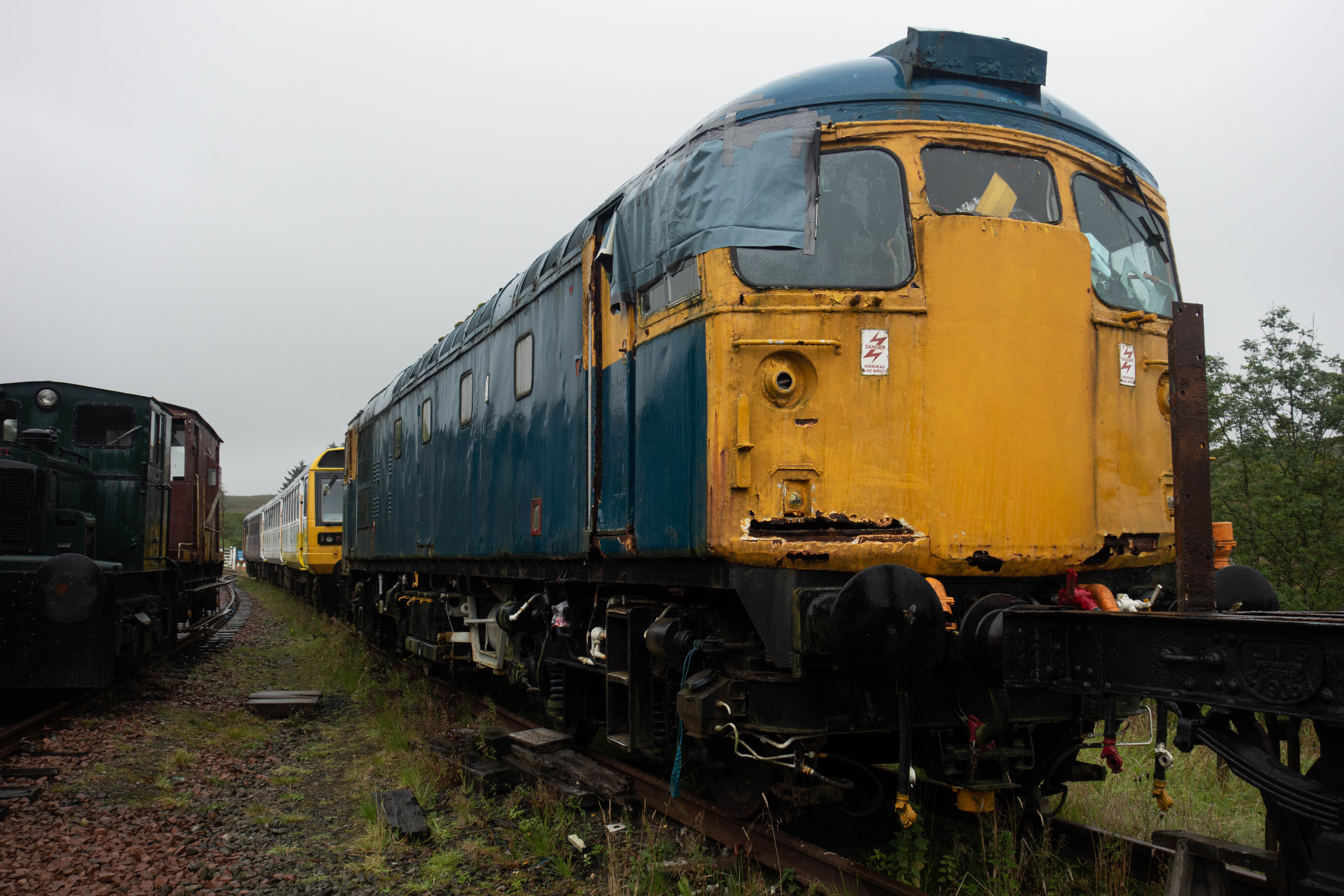
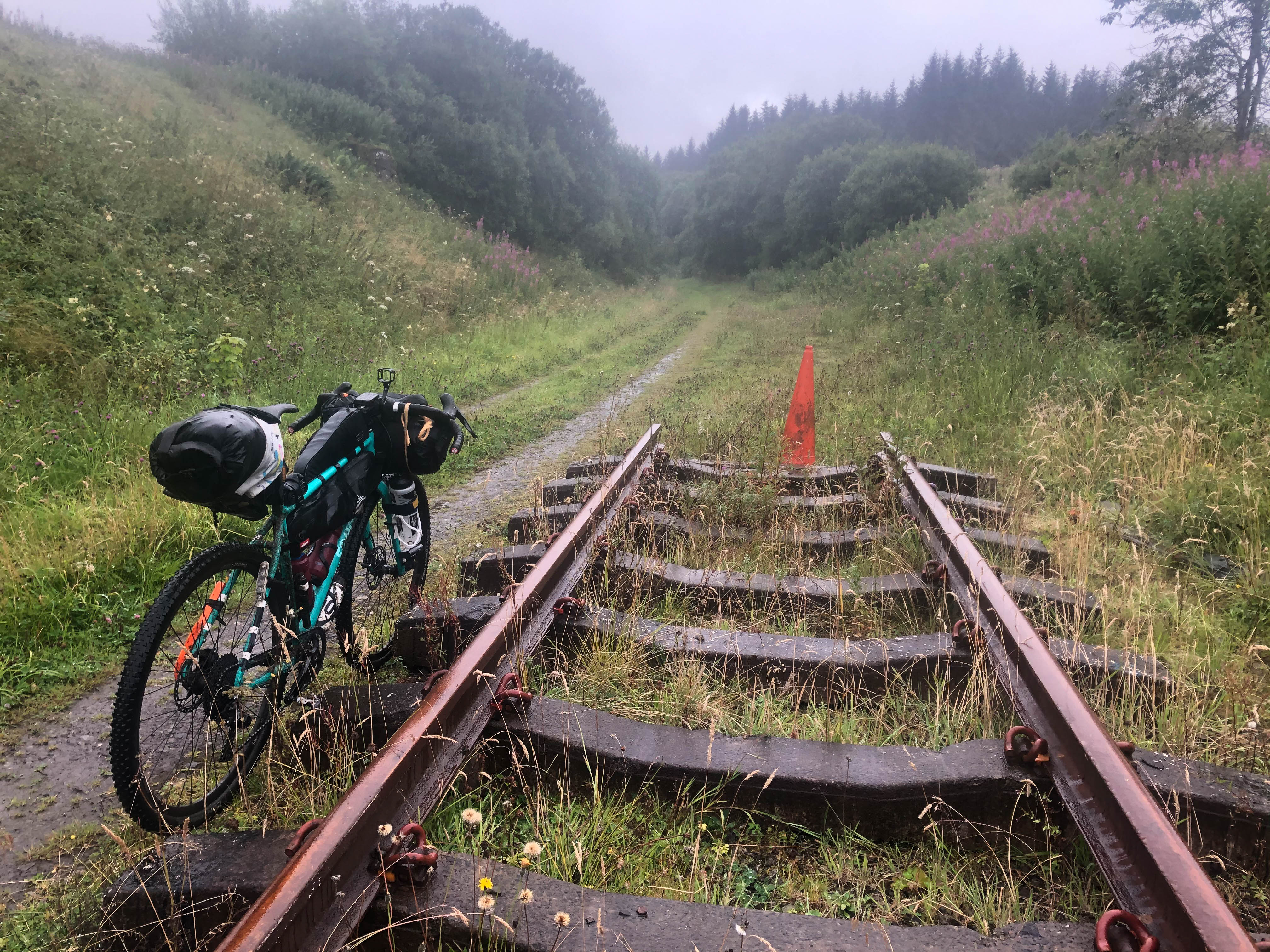
I forgot to turn off and resupply in Kielder village and carried on along the cross border trail along forest roads and up onto the moor where the trail became singletrack. It started to rain as I crossed the border into Scotland, marked by gate posts and a big rock pillar. A fast, wet, descent took me down off the moor and onto quiet roads before joining the old railway line. It rained pretty heavily from this point onwards. I passed the old station at Riccarton Junction and the abandoned village it once served and onto the train museum at Whitrope Tunnel Sidings. I stopped to look at the old trains before heading up the short climb and slippery descent over the hill that the tunnel once passed through. The trail continued to follow the old railway line, although the path was less defined than it had been before. I rode through small farmyards, past a quirky house converted from an old signal box, detoured round an old viaduct and negotiated a herd of cows that were grazing where the line had once run, before rejoining the road for a very wet ride into Hawick.
Hawick was disappointing. I was expecting to find a few places to get some warm food but all the cafes seemed to be closed. The only place I could find to get warm food was Greggs, which I had to eat in the street. I stopped at Lidl to get something I could warm up for dinner and as many snacks as I could ram into my bags.
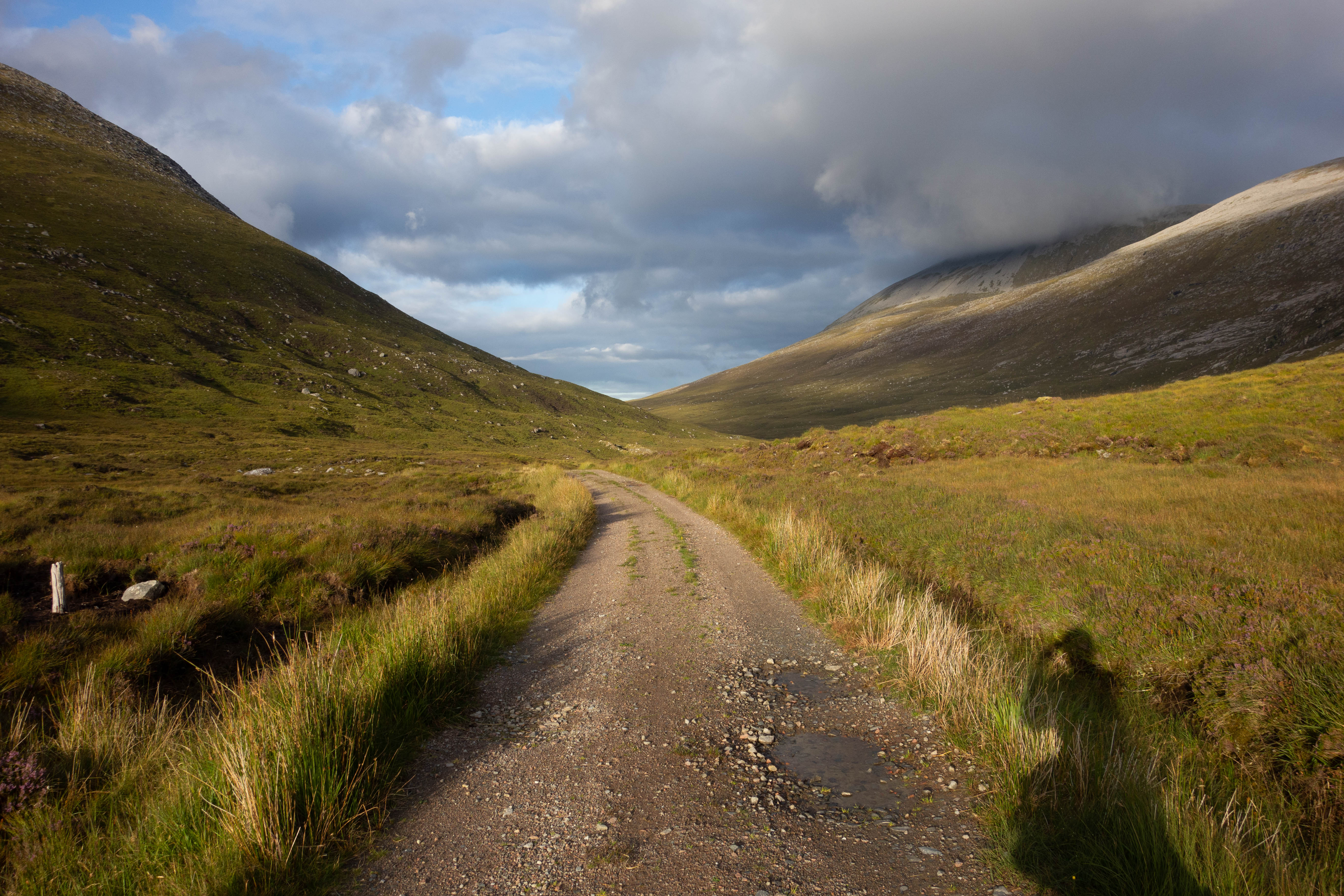
I took the main road out of town to avoid a section of the route that the guide book said was slow and full of styles. It was strange to have trucks hurtling past as you cycle after spending so much time away from the traffic. I turned off at Ashkirk and picked up the official route again as it wiggled its way north through quiet countryside on a combination of backroads, paths and small tracks to the base of Minch Moor. It had rained heavily all afternoon and I was soaked through. The thought of the drying room at Glentress spurred me on, I couldn’t face another day with wet gear.
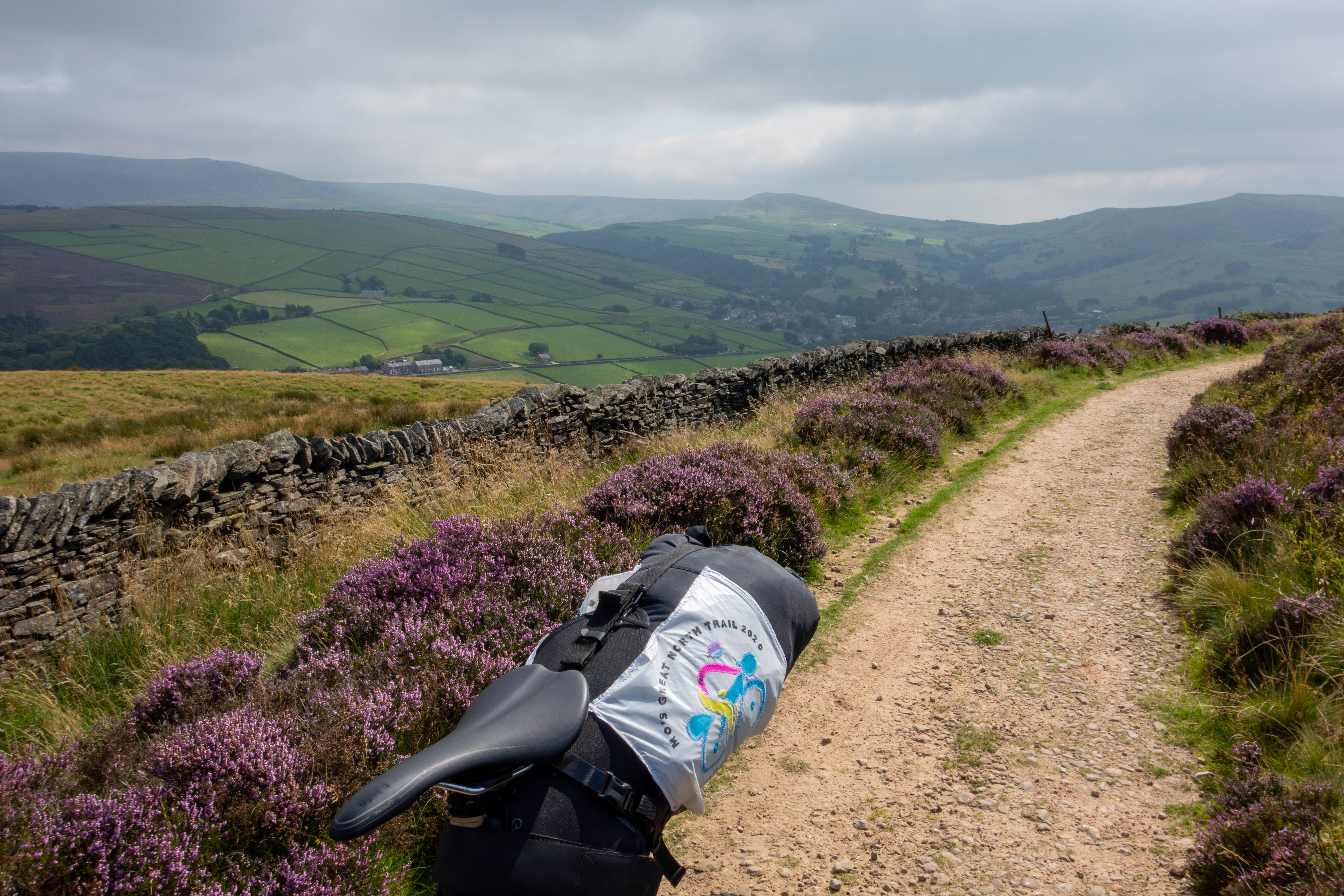
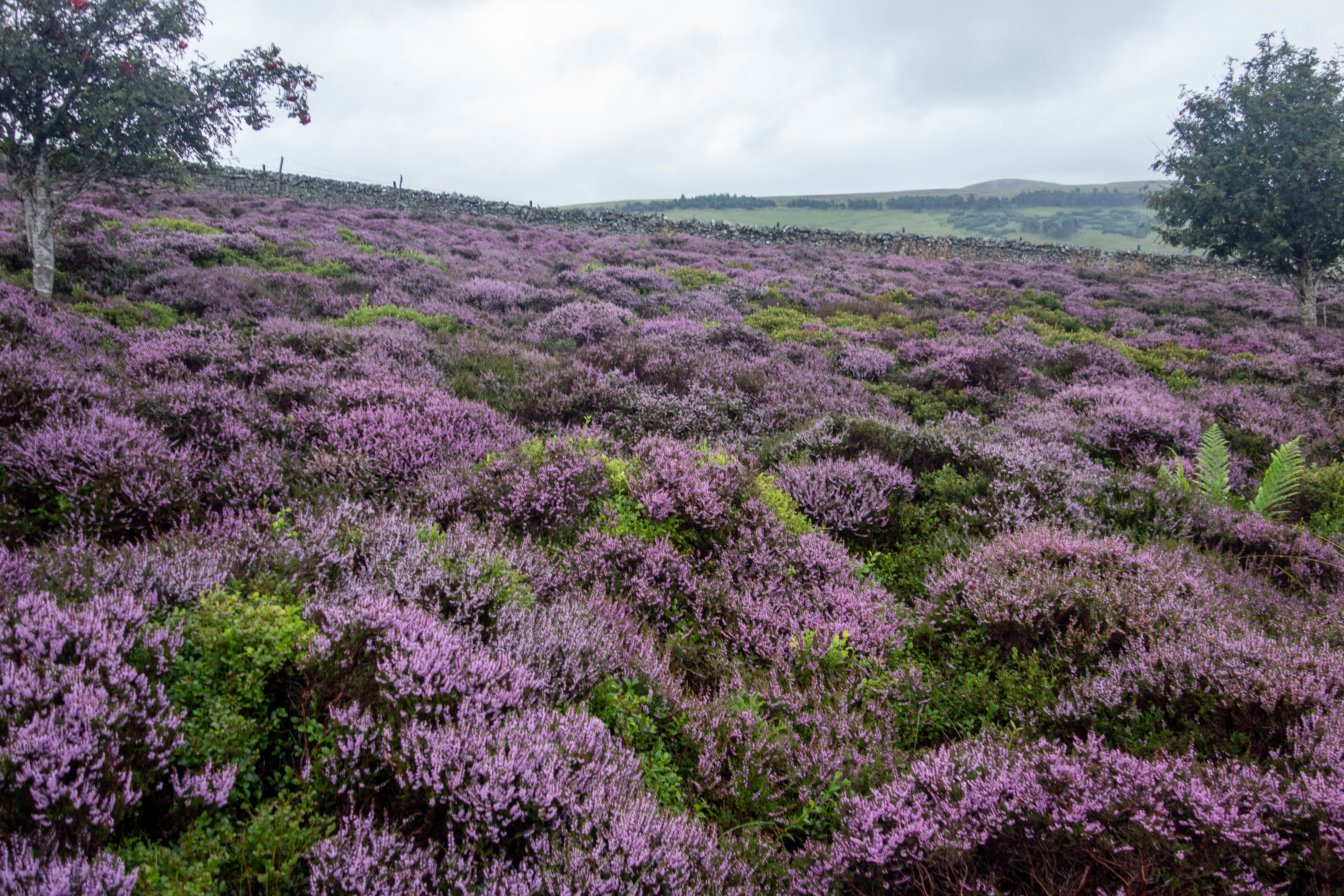
The climb up Minch Moor starts off as a push up a steep track before it becomes rideable again. It’s then a long grind up onto the moor, past beautiful swathes of purple heather before it starts to flatten out. It took me nearly an hour and a half and several podcasts to get to the top. The trail slips here and there’s two options on how to get back down – the main track, or the red XC trail as it descends back to the valley. I’d been riding for almost 11 hours and I just wanted to finish by this point, but after all the effort I’d put into getting up the hill, I couldn’t resist taking the red trail. It was great fun and I was surprised how well the Camino handled it, although I had to keep reminding myself that I had a fully loaded bike and another week’s worth of riding to do. I made it to the bottom in one piece and took a short section of road. A well-made cycle path took me to Glentress where I made full use of their drying room. It was a long day but I was back on schedule.


day Five
– Glentress to Strathblane
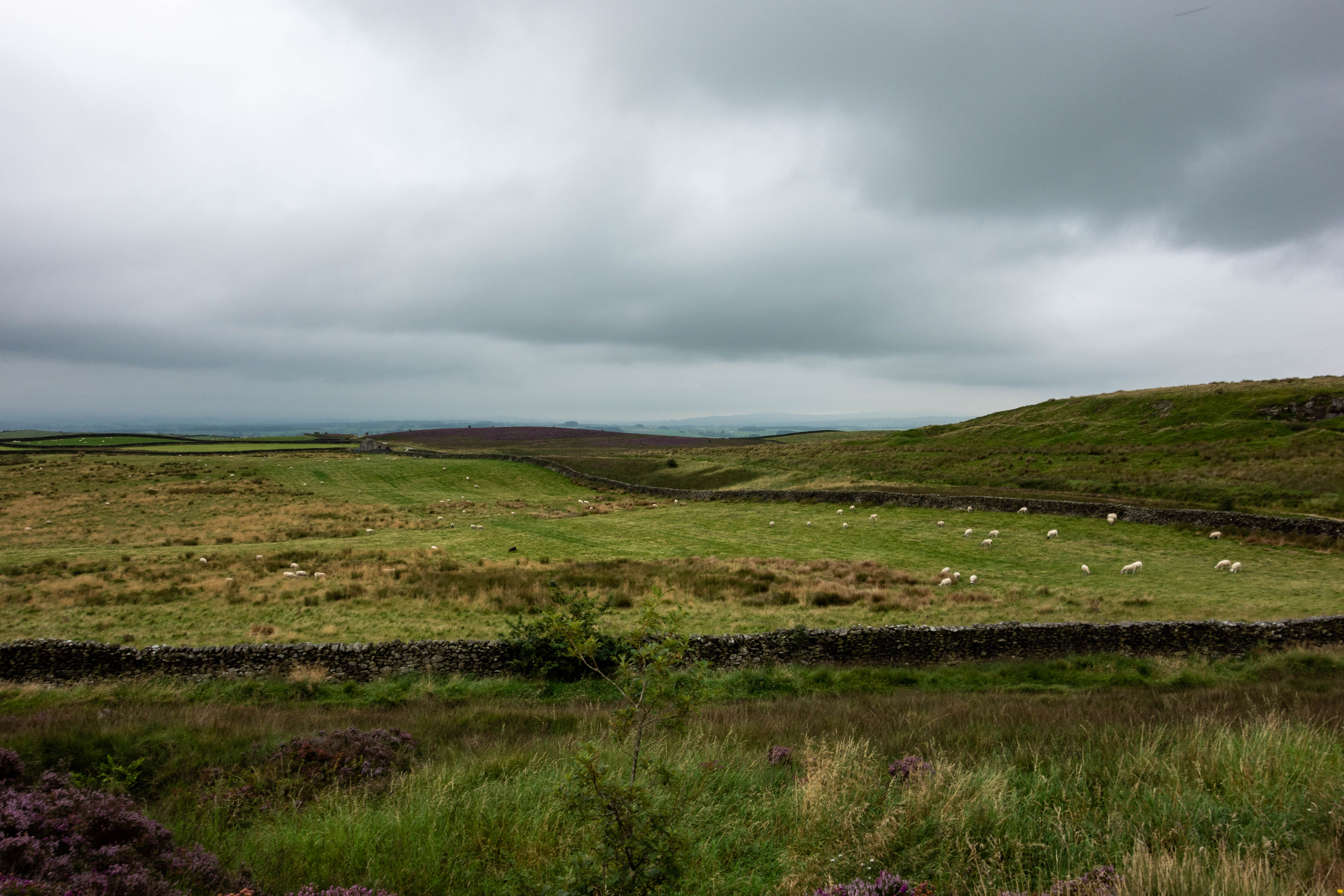
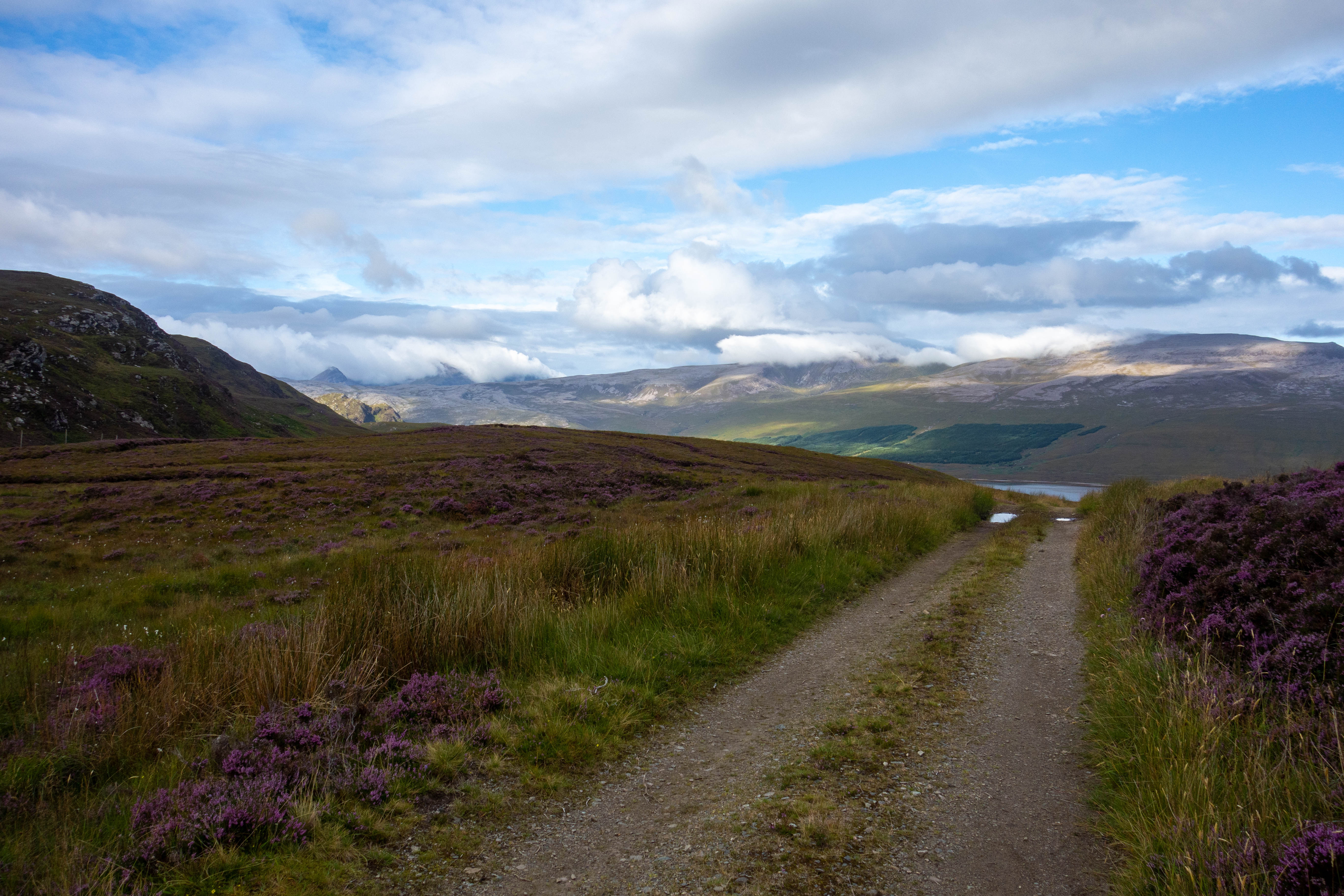
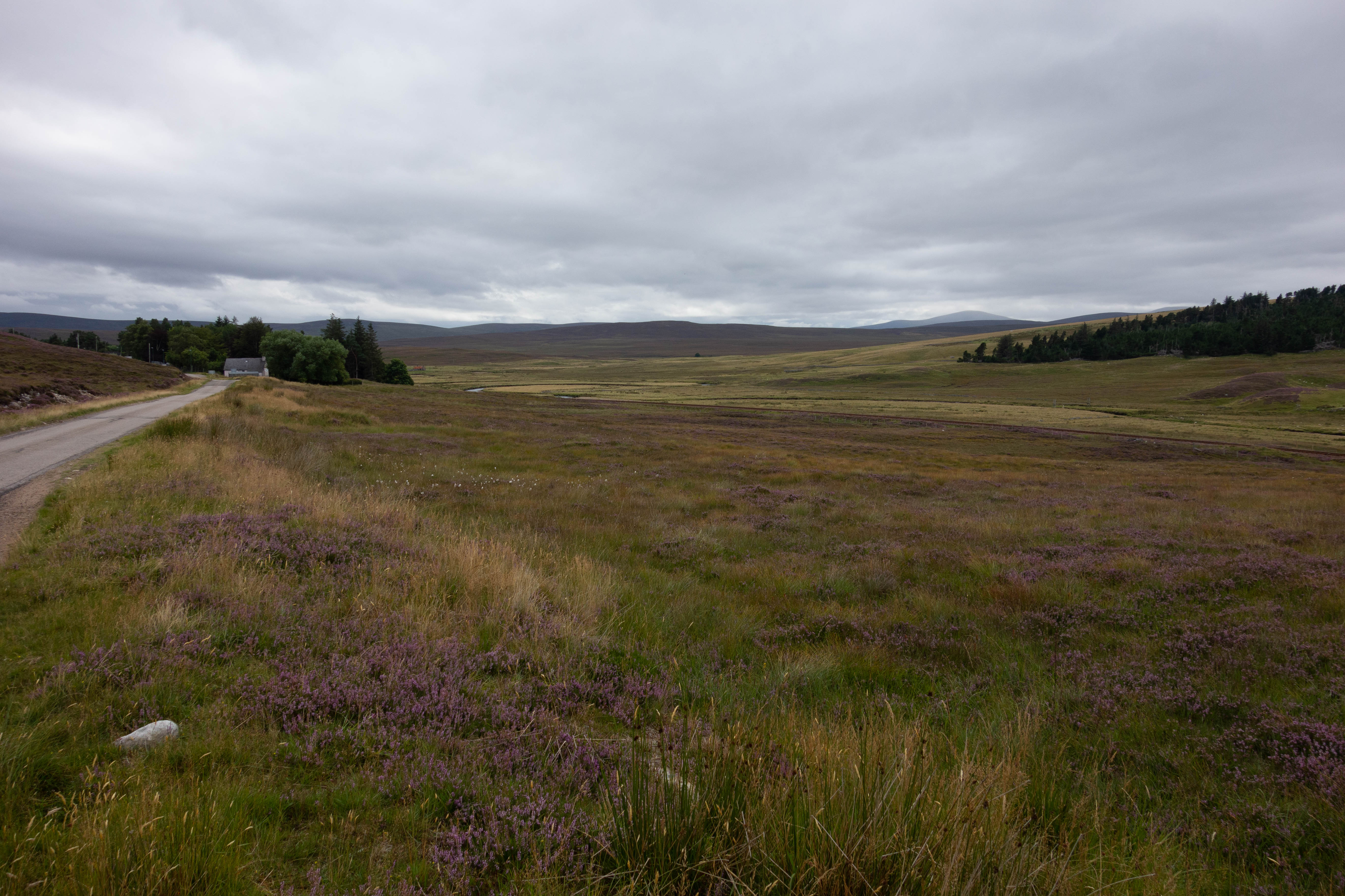
I Packed up and rode into Peebles where I bought some new drybags to replace the ones that had holes in them and a full Scottish breakfast at Wetherspoons. The route carried on along the road to West Linton, where I stopped for a quick coffee at a little café beside the road. The trail then left the tarmac and followed an old drove for a while before heading up past an idyllic looking reservoir and onto the moor again. The trail up was steep, boggy in places and not the easiest surface to ride, but once at the top the ride down was good and the moorland was empty with nothing but patches of heather.
After a few fields with no sign of a clear path the trail joined a well-surfaced track again and descended between the hills, past a few reservoirs and the most people I’d seen since leaving Wetherspoons. The downhill section was short-lived and I soon turned off and climbed steeply up onto the Pentland Hills. I rode past a car park full of soldiers and walkers, continuing up past a military firing range and training area and some more soldiers hiking up the hills. This was followed by a fast descent down a good gravel track, before doubling back uphill again (I’m sure there should be a way to cut this out) and descending down a steep path through Bonaly Country Park and some quiet residential streets that wound down towards Edinburgh and the canal.
The National Cycle Trail was marked by a green cast iron signpost. This felt like a significant point in my ride, but there was nothing here, just the path, some overgrown undergrowth and a rather underwhelming canal. I turned west and followed the towpath all the way to Glasgow. This was fast and flat riding but it got pretty boring after a while. The scenery didn’t change much and besides a few detours into town to get food and to avoid a section of the towpath that had been washed away in the heavy rain, this section was uneventful. I had to put my headphones in and listen to some podcasts to keep me going.
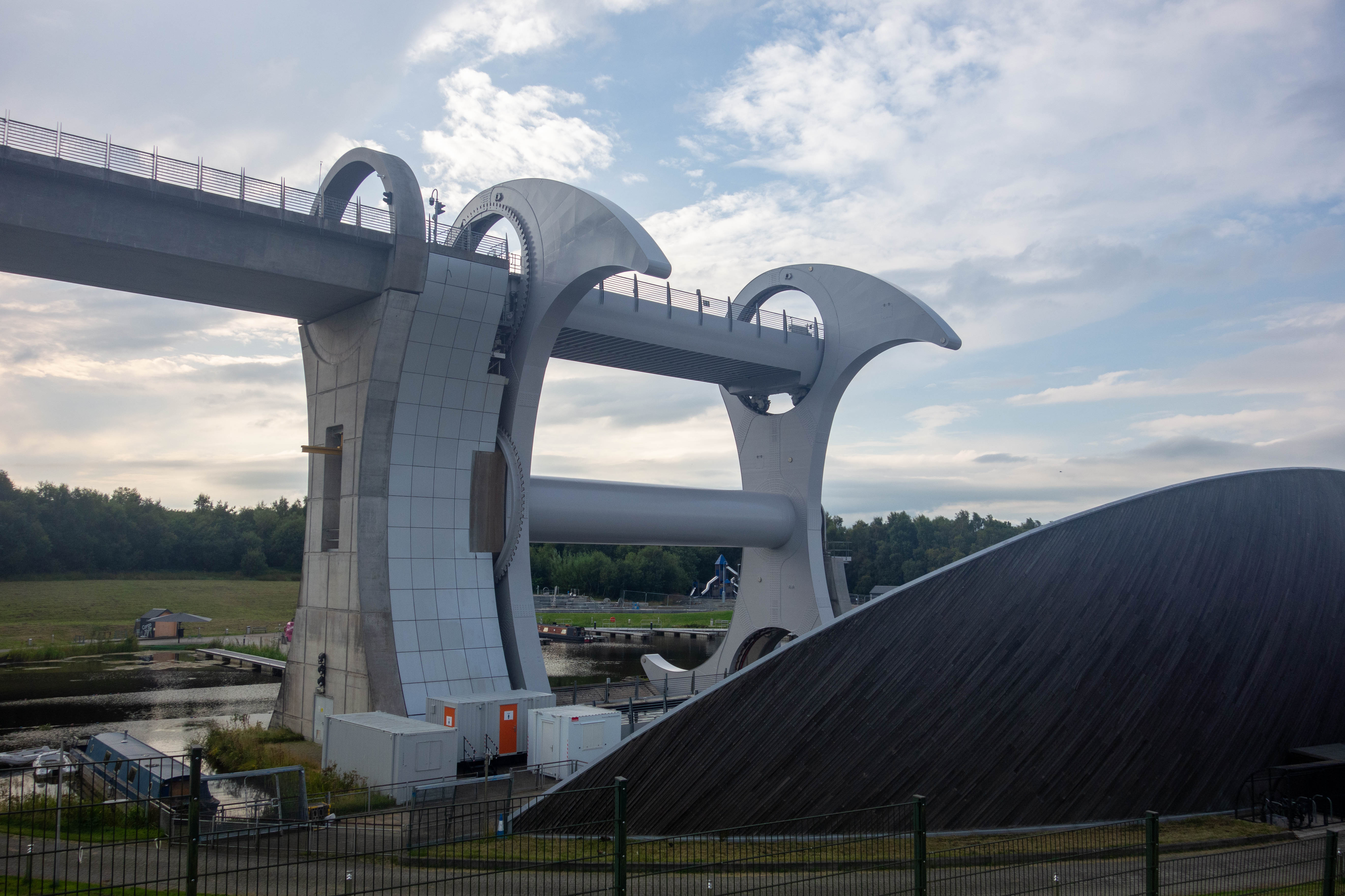
The Falkirk Wheel provided a welcome break from the monotony, but due to the broken bank and lack of water in the upper cannal it wasn’t running and there wasn’t anywhere to get food so I didn’t stop for long. I stopped again briefly to get some supplies and a portion of sausage and chips that I ate beside the canal before carrying on into the outskirts of Glasgow. The trail finally left the canal and followed the river north through a couple of public parks before heading out of town through some rough fields, woodland and a short road, before another path beside a small river brought me out on the edge of Milngavie. I had planned to stop for dinner here, but it was dark already and I’d eaten earlier, so I headed off under the sign that marked the start of The West Highland Way and out of town in search of somewhere to camp for the night. I rode through Mugdock Country Park, trying to avoid thousands of toads that were everywhere across the path.
When I reached the road at the far side of the park I saw signs for a campsite and turned off down the road. To my surprise I was passed not long after by two guys riding mountain bikes. We had a bit of a chat about my ride so far and where I was headed and they suggested that the campsite I was looking for wasn’t that great. Then one of the guys (Bryan) offered to let me camp in his garden. I followed him back the short way into Strathblane where we had a beer and some fruit toast and talked about bikepacking trips. I set up my tent at the end of the garden, out of the wind and other than having to rescue a runaway gazebo in the middle of the night, I slept well.


day six
– Strathblane to Glen Lyon
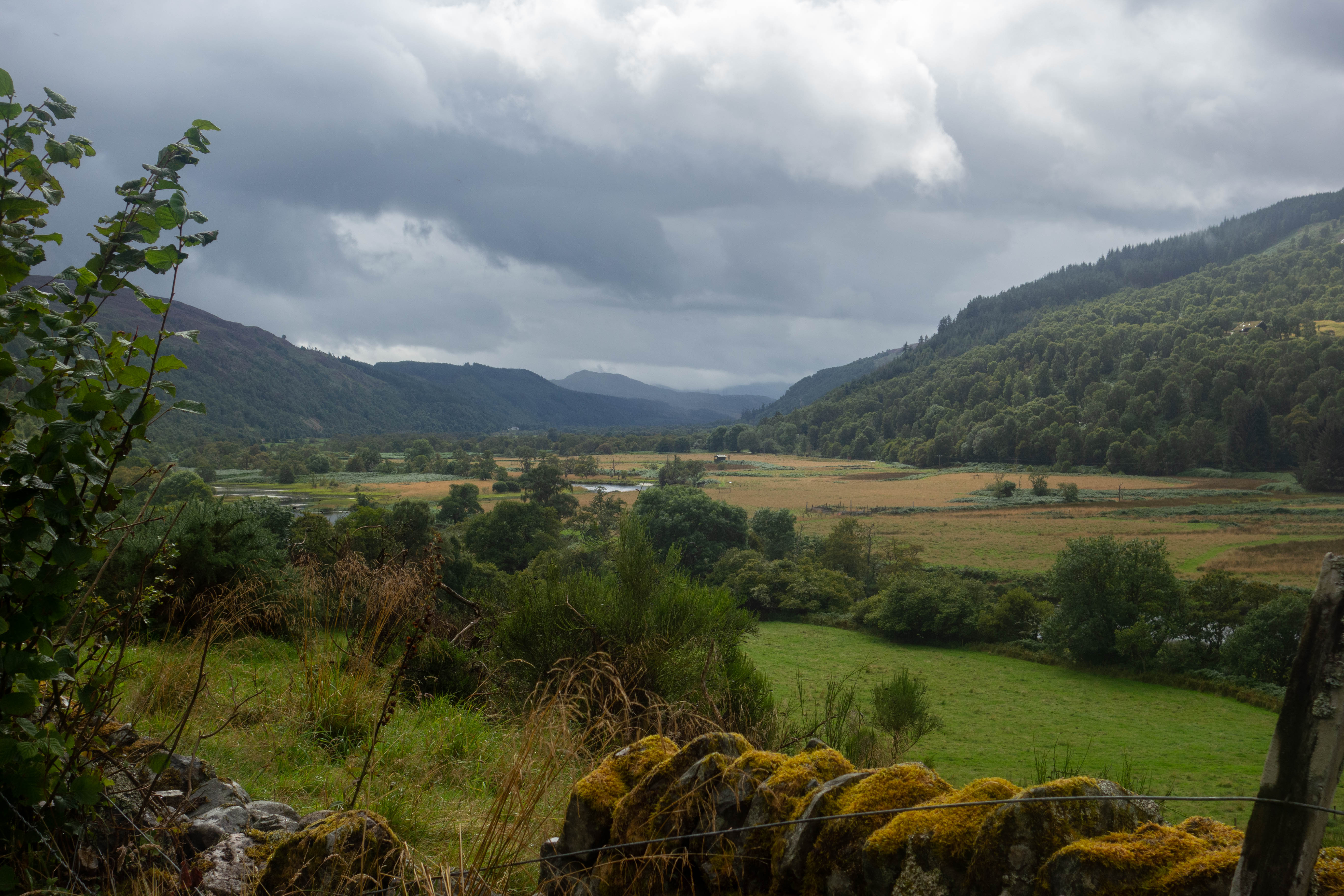
I packed up my tent and was served fresh coffee and porridge by Bryan, who gave me a few tips on the day’s ride and filled up my water bottles before I set off. I rode back up the hill to rejoin The West Highland Way. It was quiet and easy going with a few walkers to dodge. I rode past lots of honesty box cafes with fresh cakes and drinks for sale, left The West Highland Way shortly after Drymen and followed the Rob Roy Way. I got carried away on a fast tarmac descent and missed a turning, but managed to cut back through the forest to join the trail again. From here well-made forest tracks led me through woodland and down into Aberfoil village, welcomed with a good cooked breakfast at Macgregor’s coffee shop. Once I’d refueled it was a steep climb up out of town, starting on the road and then quickly turning off onto forest paths underneath the Go Ape tree top trails.
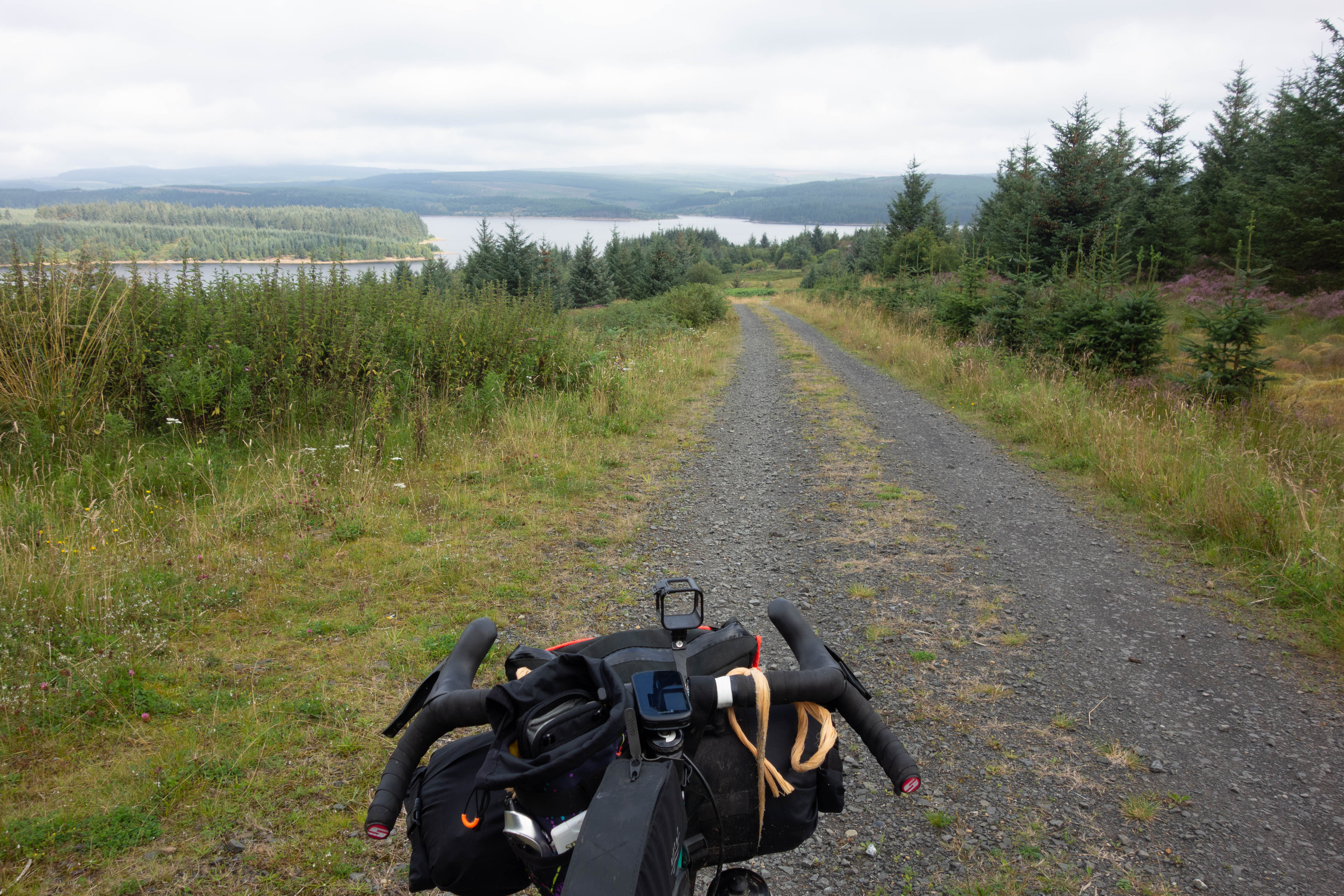
This climb was rewarded with a lovely fast descent down the forest drive and I took great delight in overtaking a few cars on my way down. I turned off the forest drive and rode alongside Loch Venachar, then followed a well-surfaced cycle route that mostly follows the old railway line. I stopped for refreshments in the café of a holiday park beside Loch Lubnaig, before following the trail up the old railway incline with views out over Loch Earn, crossing the road and descending through woodland to Killin.
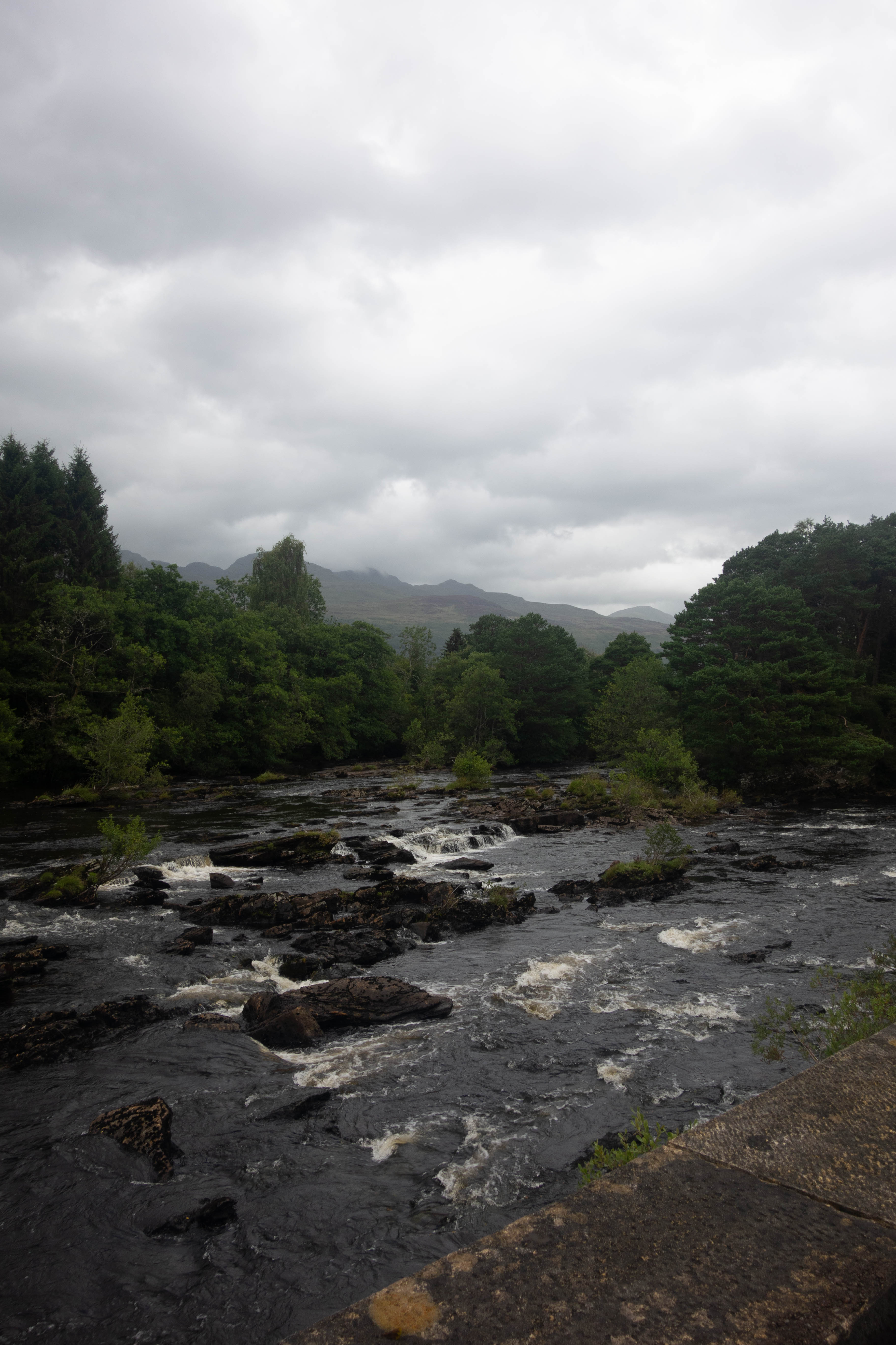
The waterfalls at Killin were impressive and it was the busiest place I had seen for days. There were tourists taking photos, coach trips and people wandering in and out of the gift shop. I found somewhere quiet to sit and got a late lunch at Shutters Restaurant before queuing up to get in the Co-op where I bought an eclectic selection of food. I think the Co-op normally caters for the local residents and passing tourists, not hungry bikepackers with limited cooking facilities. I knew there wasn’t going to be another shop for the next day or so until I got to Fort Augustus, so I bought as much as I could sensibly carry.
I headed out of town and followed tarmac roads through fields and woodland then rose gradually to the pass over to Glen Lyon. The track was steep but manageable and the road wasn’t too bad either. As I got to the top it started to rain and the wind, that I was previously sheltered from, picked up. It was a bitterly cold and wet ride down Glen Lyon and I was freezing, in need of somewhere to shelter and get warm. I hid in the phone box at Bridge of Balgie and tried to make the payphone work with no success. There was no signal in the glen and no people to be seen. I felt cold and lonely as I carried on past the tea rooms. It was late and they were closed, but the kind owner had left water out so I filled up my bottles and carried on, searching for somewhere to camp. I was very cold by this point and just needed to get out of the wind. I stopped just round the corner in a car park near the church. There was a toilet and some shelter beneath the trees, so I pitched my tent as fast as I could and crawled in out of the wind. I cooked my weird dinner from the Co-op and lay there, listening to the wind howl through the trees.


day seven
– Glen Lyon to Fort Augustus
The day started off grey but dry as the trail climbed steeply out of Bridge of Balgie and I was glad I camped where I did. The trails were soaked, there were big puddles everywhere and the dryness didn’t last long. It rained for most of the morning as I rode through empty moorland and I didn’t see anyone for hours, apart from one guy riding in the other direction.
I left the wet moorland at Bridge of Guar and followed the road west towards the station. The station was a small detour from the route but there was a tearoom there where I hoped to be able to dry out and re-fuel. I passed a sign for the tearoom that said “closed on Fridays”. Today was Friday.
I turned off the road and took the trail towards Corrour. The track wound its way uphill where I managed to drop and run over my sunglasses, not that I had needed them for a while. I made my way down to Loch Ossian, past an idyllic looking youth hostel on the edge of the loch, joining a good estate road that took me along the side of the loch where I passed more people than I had seen all morning. Mostly walkers and a few vehicles.
The road weaved its way along the side of the glen, looking down on a small house and cattle grazing. I passed through a gate, descended through forest to Loch Laggan and turned to follow the trail along the edge of the loch. The trail was quiet, the rain had stopped and the shore of the loch would have made a lovely place to stop for lunch if it weren’t for all of the midges. I kept riding, past the fairytale castle lodge of the Ardverikie Estate, down the drive and out onto the road. I crossed the road and climbed up a short steep track to join one of the old military roads. I could see down over the beach at the end of the loch. There was a bit of breeze up here that kept the bugs away so I stopped to heat up a strange veggie chili pot that I had picked up from the Co-op the previous day.
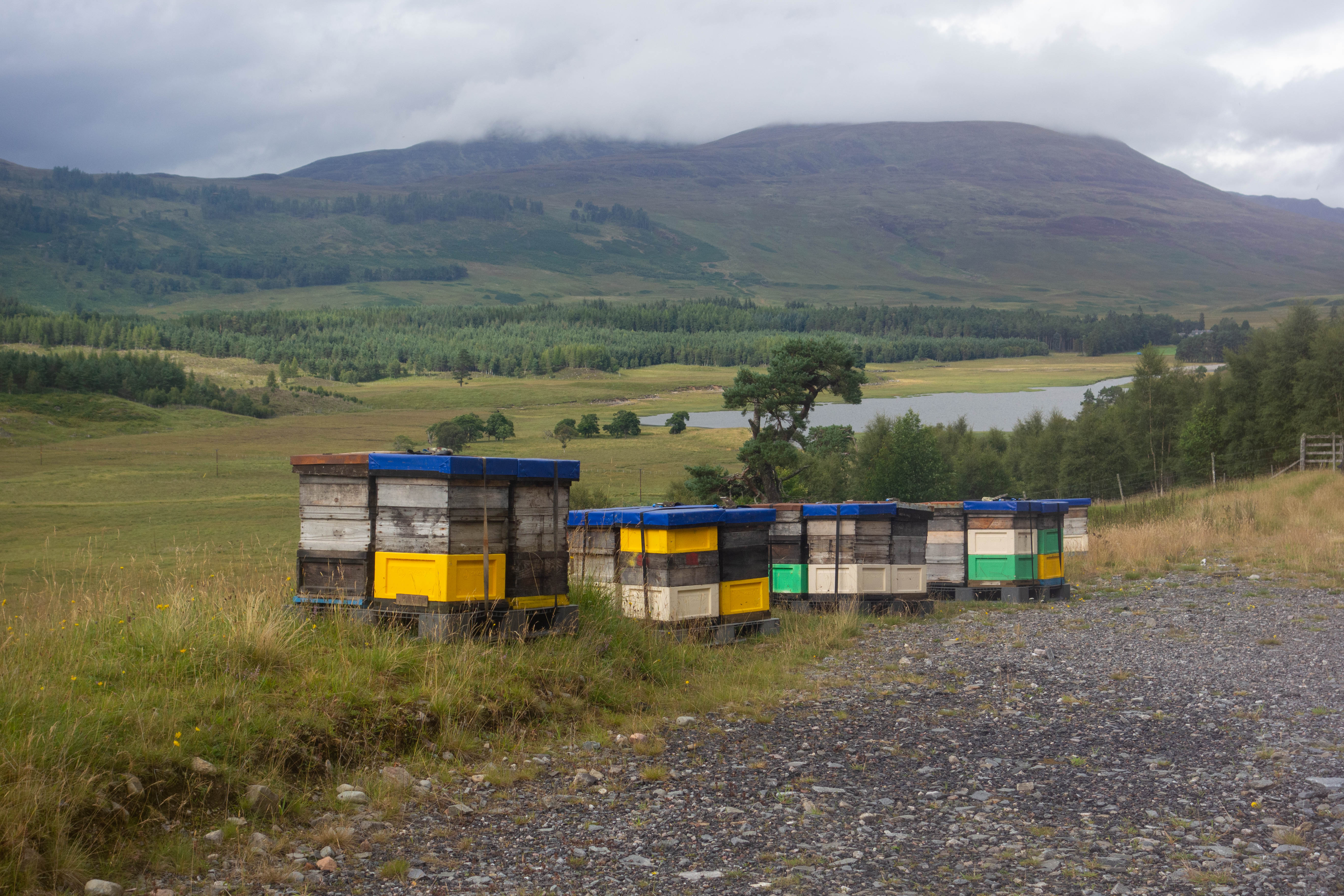
The military road and the dry weather continued as I rode along the ridge with great views in every direction. As the trail dropped down into the valley I stopped to take a photo of some beehives. One of the bees got stuck in my helmet and stung me. I pulled the sting out, took the photo and crossed through a gate into a deer sanctuary. As I descended down to the road I wondered if I was allergic to bee stings, and if I was, what I could do about it with no one around and no phone signal. There was a house and some estate buildings by the road, but my face still felt a normal size so I decided that it was probably ok to carry on. I turned left and followed the tarmac road along the glen to Melgarve.
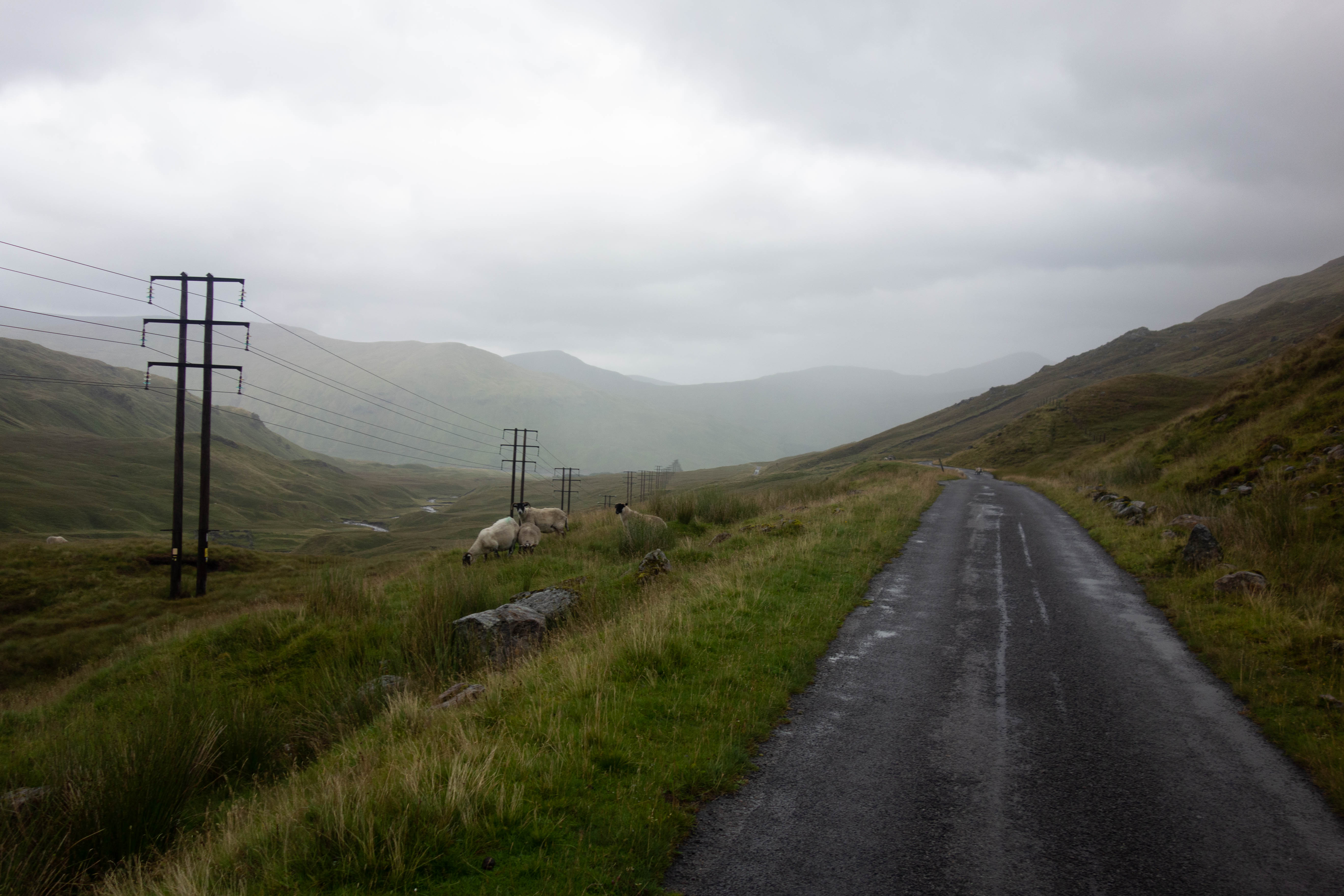
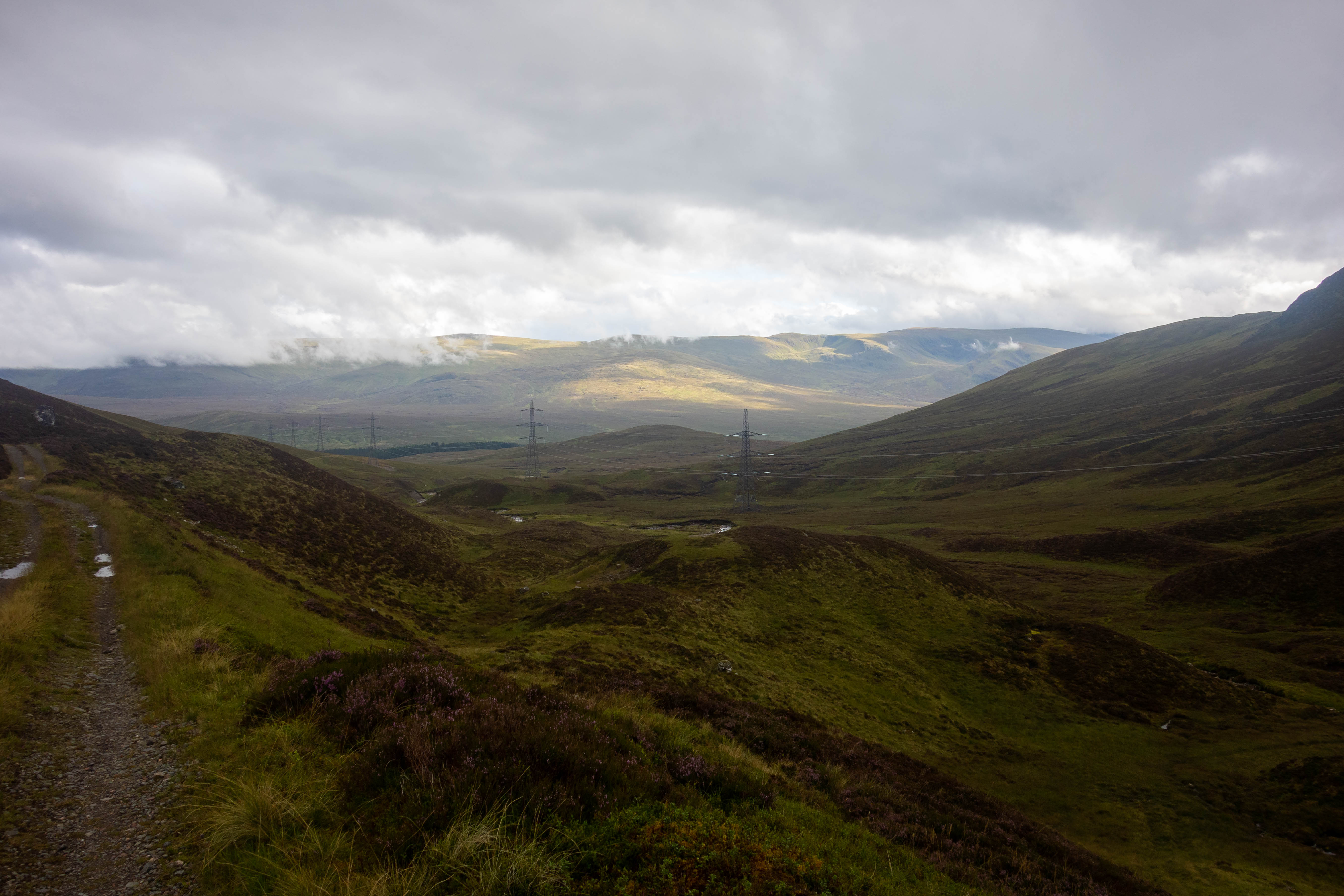
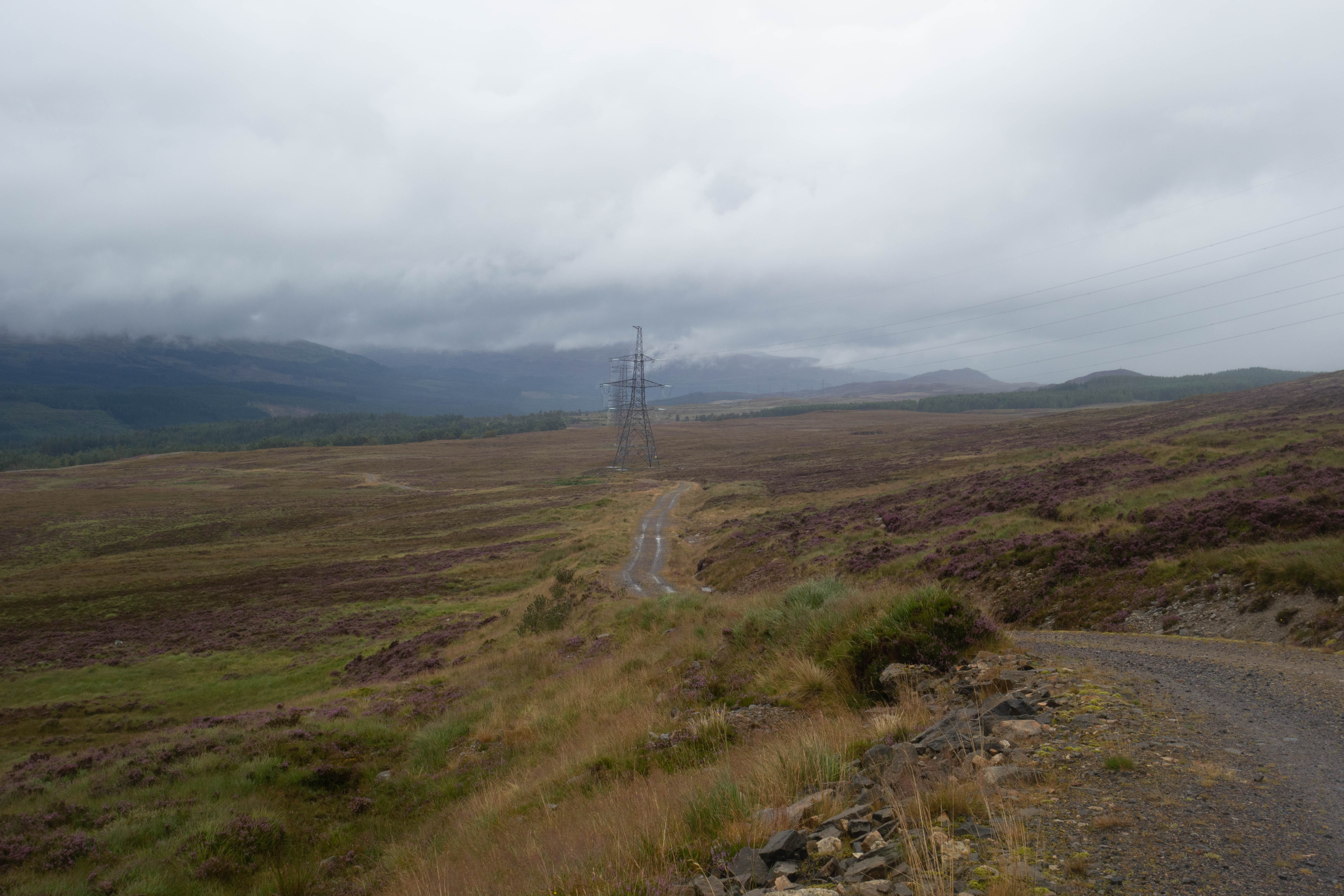
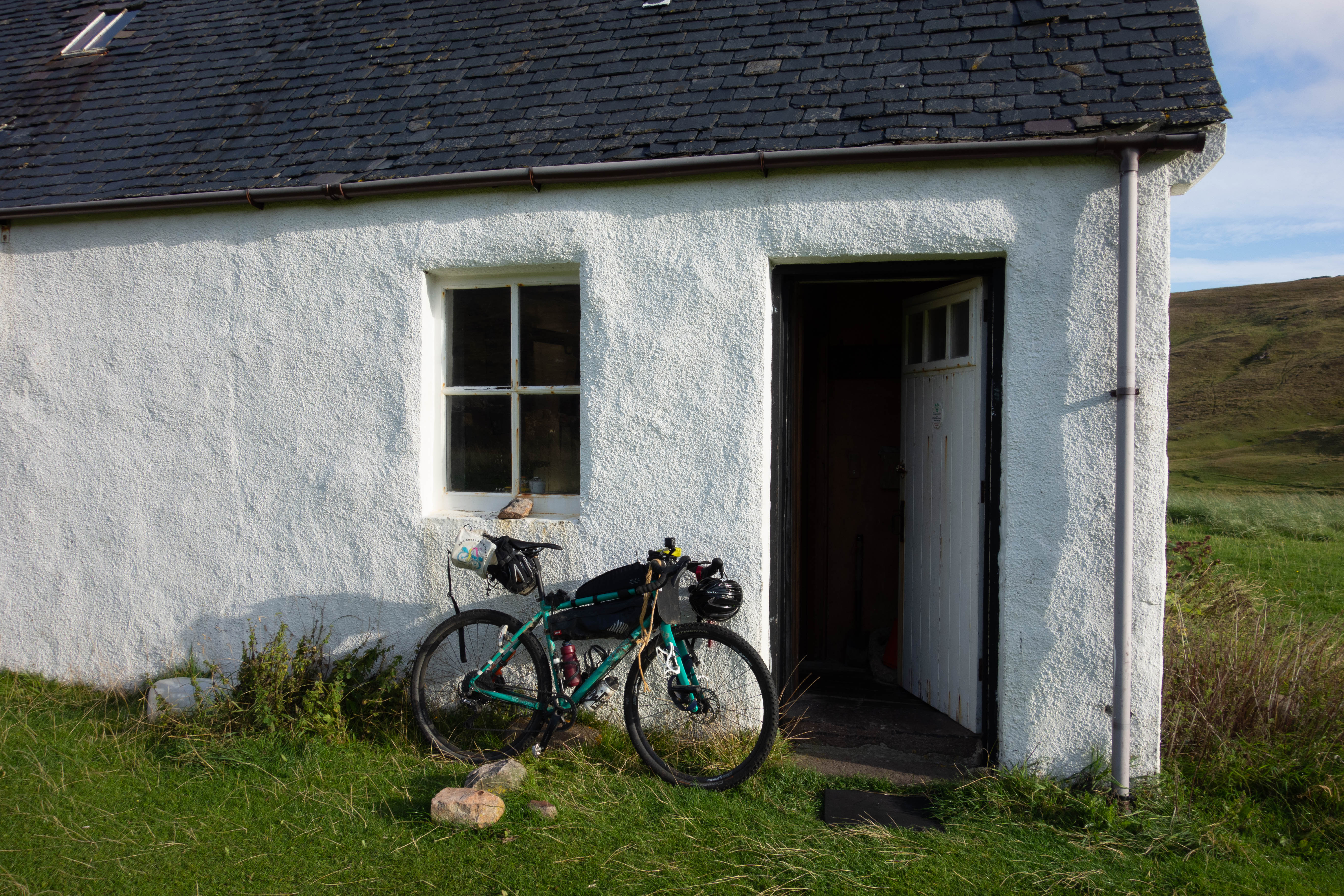
The tarmac ended abruptly with a barrier across the road and a sign that read “road closed”. From here the old military road became a track again. I passed the bothy (which was locked) and started to climb. The surface wasn’t too bad, apart from the regular water bars which were like giant curbs across the track. A row of pylons stretched off into the distance, following the trail up the path. As I paused to refill my water bottles from a stream I could hear a pair of buzzards calling high above. I rode on until I reached the bottom of the last section of the climb, which was a steep zig zag that was too loose to ride, following it up into the clouds. The pylons were crackling with the water in the air as I pushed up this last part. I took a minute to look back down the glen before the clouds turned everything grey. From here it was a descent all the way down to Fort Augustus. As I came out of the clouds I was soaked through and although it was dryer now I headed for the bothy tucked away off the trail to get some shelter. There was no smoke coming from the chimney and I assumed the bothy was empty but as I got closer I could see there was someone inside. The door opened and I was greeted by three guys with thick Scottish accents who were also on their own bikepacking trip. They put the kettle on and made tea with condensed milk and honey. It was nice to have some company.


Day eight
– Fort Augustus to Garve
I packed up and left my new friends finishing their breakfast as I headed down the trail into Fort Augustus where I sat beside the locks and had some more breakfast. I was in no rush to leave. This was my fourth visit to the town and it felt very familiar to me, which after days on my own in the middle of nowhere, was quite comforting. I’ve stayed here twice and it’s been the finish to the first stage of The Great Glen Paddle Race. It felt safe and almost homely to sit watching the boats go buy. I resisted the urge to buy a second coffee and left the café.
After a quick trip to the petrol station and supermarket for some supplies and a visit to the ironmonger, bike shop and camping store to get another can of gas, I headed off up the steep track through the woods and onto some rough old military roads. I then joined a fast forest track that descended down into a valley, crossing the road and climbing a long steep logging track up onto the moorlands and into the clouds.
I dropped out of the clouds on a good descent down into the glen, where I was greeted by a sign for an honesty box cake shop near the trail for Plodda waterfall. I continued on down the road, stopping for lunch at The Coach House café in Tomich. The food was good but because of Covid they were only doing takeaways which meant I had to sit outside as it started to rain again.
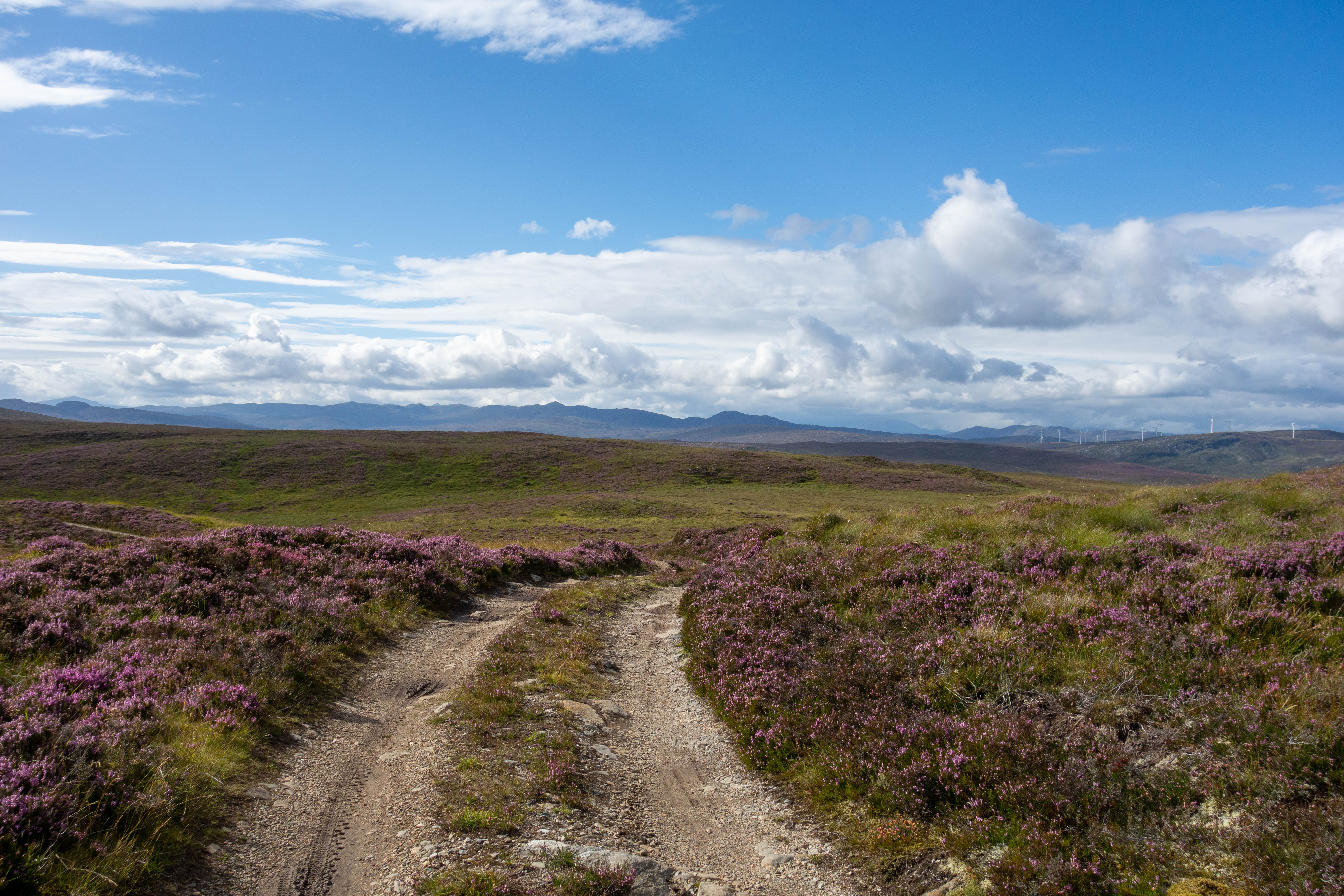
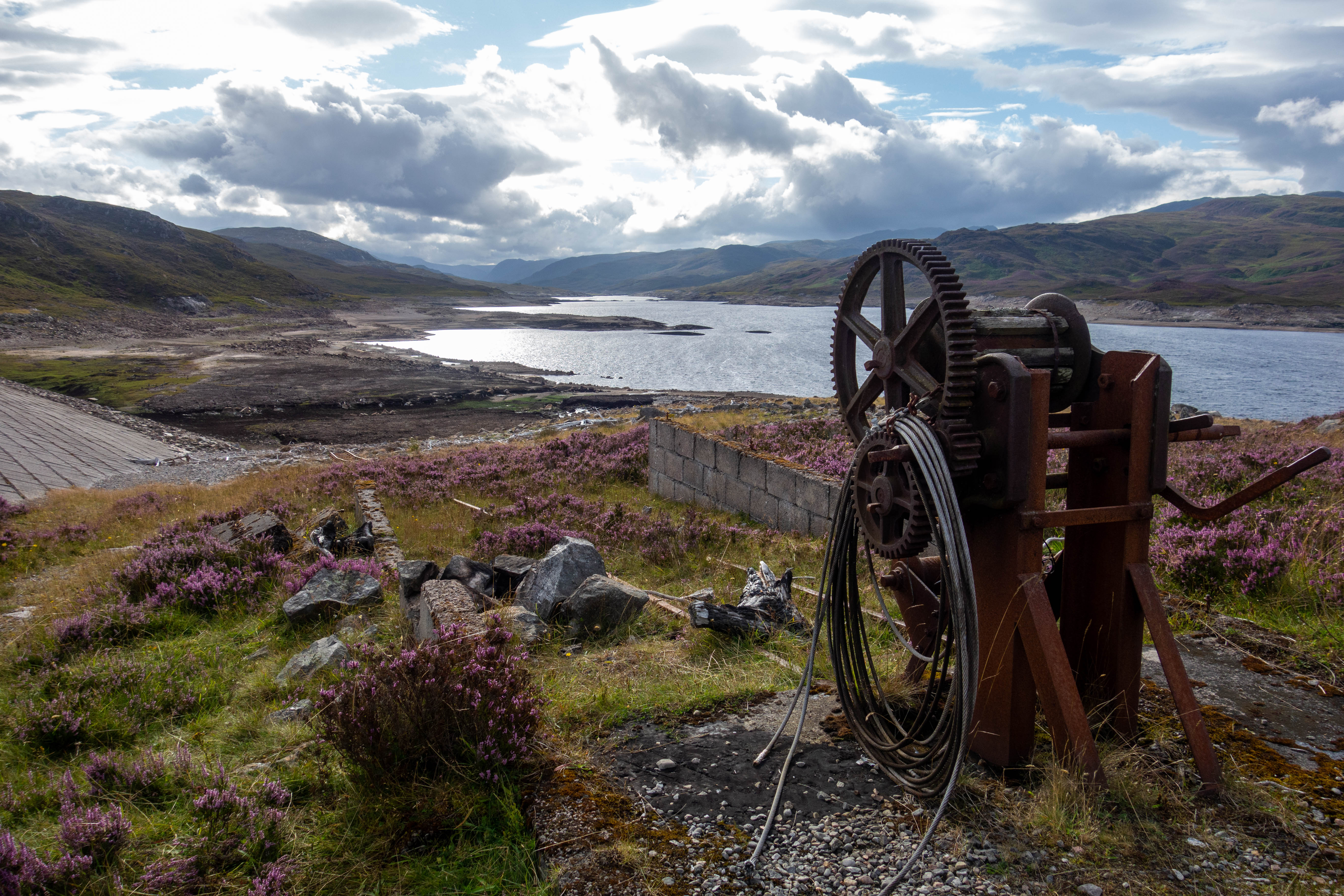
The ride continued down pleasant roads through the glen before turning off and climbing up onto the moor. As I climbed, the sun came out, reflecting off the wind turbines in the distance and bringing out the purple of the heather. The trail descended gradually round the valley, following a half buried pipeline before heading across the top of Orrin Dam. I caught up with some bikepackers from Germany who were riding off road from Lands End to John o’ Groats. I stopped by the dam to take some photos and the Germans headed off. I chased after them down the tarmac access road but they were gone.
My back brake was making a horrible noise but I didn’t want to stop on the descent, but when I got down to the road I couldn’t ignore it anymore. The Pads were down to the metal. I fitted the spare set I’d been carrying and carried on along the road to Contin where the village store was open and a fish and chip van was in the car park. There wasn’t a great deal of choice in the store, but I was just glad that it was open (the next town with a shop was Durness in a day’s time and it was a long detour to find another shop). I bought a beer to go with my fish and chips, some pasta, a block of cheese, a pepperoni and some snacks for the next day. I sat and ate chips on a bench in the car park.
As I was eating the Germans I had met earlier rolled in, we had a short chat about our respective journeys and then I headed off to get a few more miles in and find somewhere to sleep. I followed a well-made trail through the woods past Rogie Falls, under the railway line and through the woods past Loch Garve before finding a lovely spot to camp beside the river at Little Garve. I pitched my tent, collected some water from the river to boil and started making a fire to keep the bugs away. This was when I discovered that my lighter had stopped working.


day nine
– Garve to Loch Eriboll
I couldn’t light my stove because of my broken lighter and I stupidly hadn’t brought a spare, which meant I couldn’t cook breakfast or boil any of the water to drink (I didn’t trust the river water even after filtering it). The nearest shop was an hour round trip back the way I’d come which I didn’t fancy, so I decided to carry on. Google Maps was showing there was a public toilet about 10 minutes up the road where I hoped I could get some water and then shortly after that a B&B with a coffee shop.
The toilets were closed because of Covid and the water was off, so I carried on, looking for the coffee shop. The coffee shop was also closed and the shop from yesterday was now even further behind me. With little choice, I pressed on, I had some gels and bars with me and there would be a chance to filter some water from a stream once I got into the hills again.
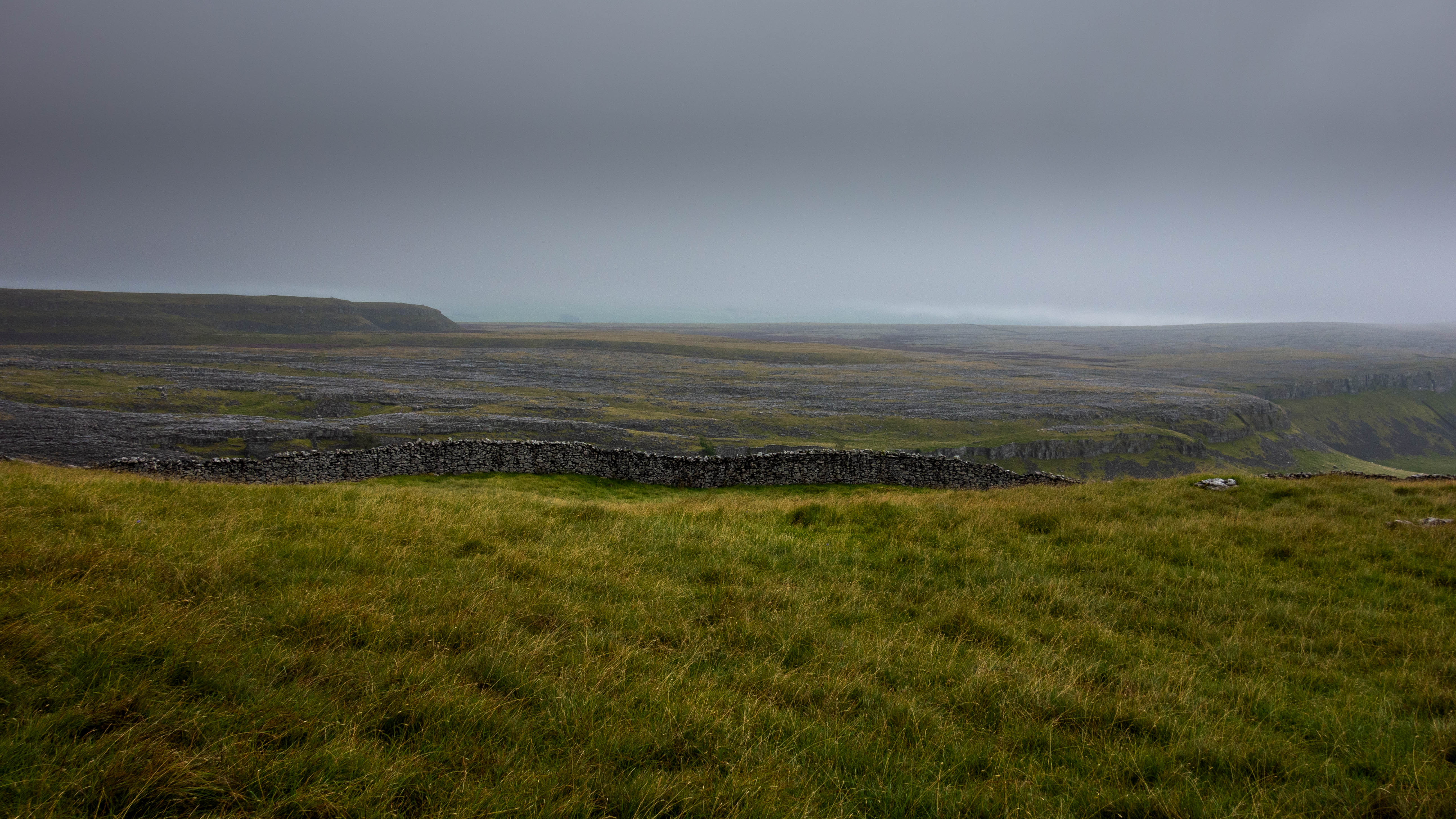
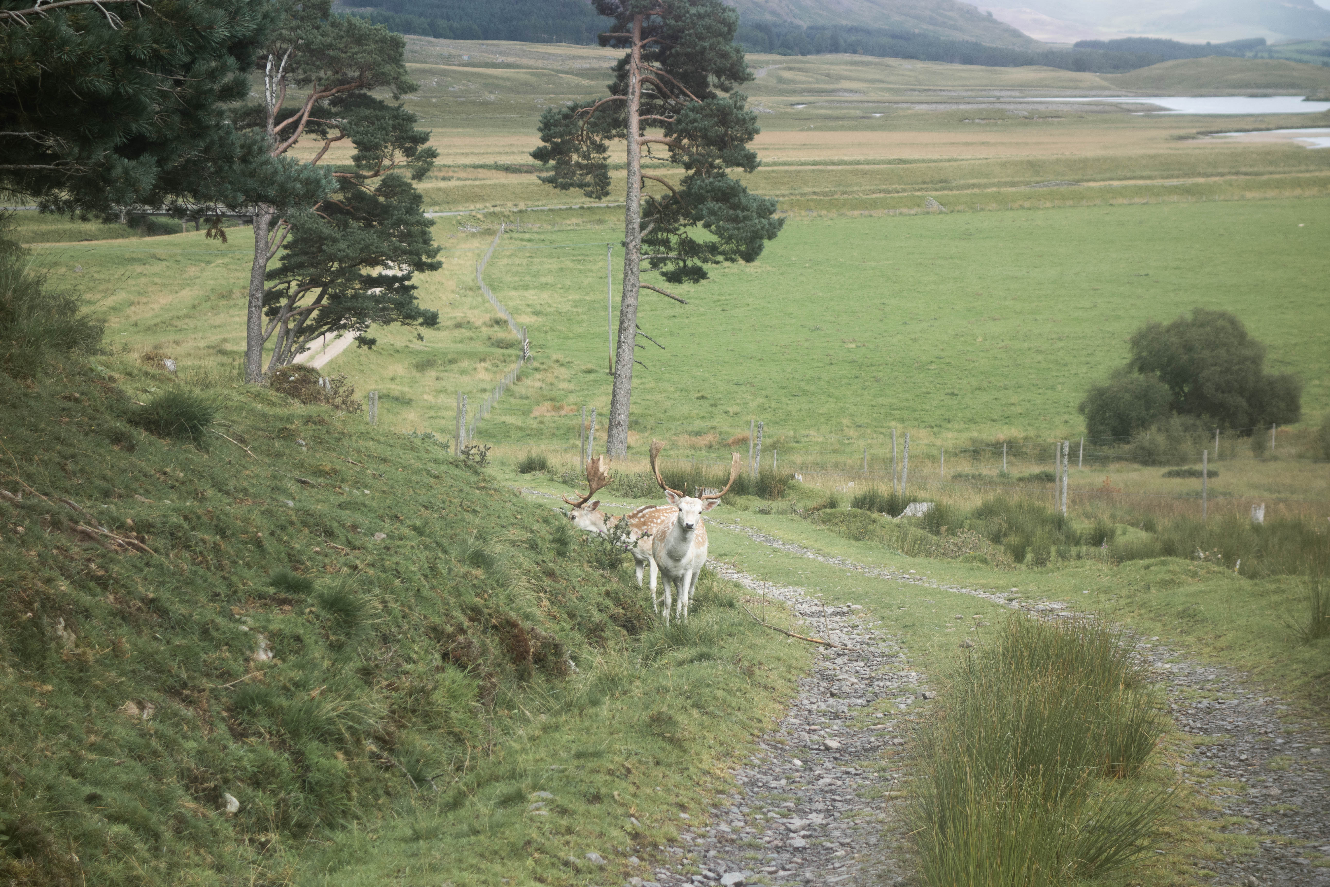
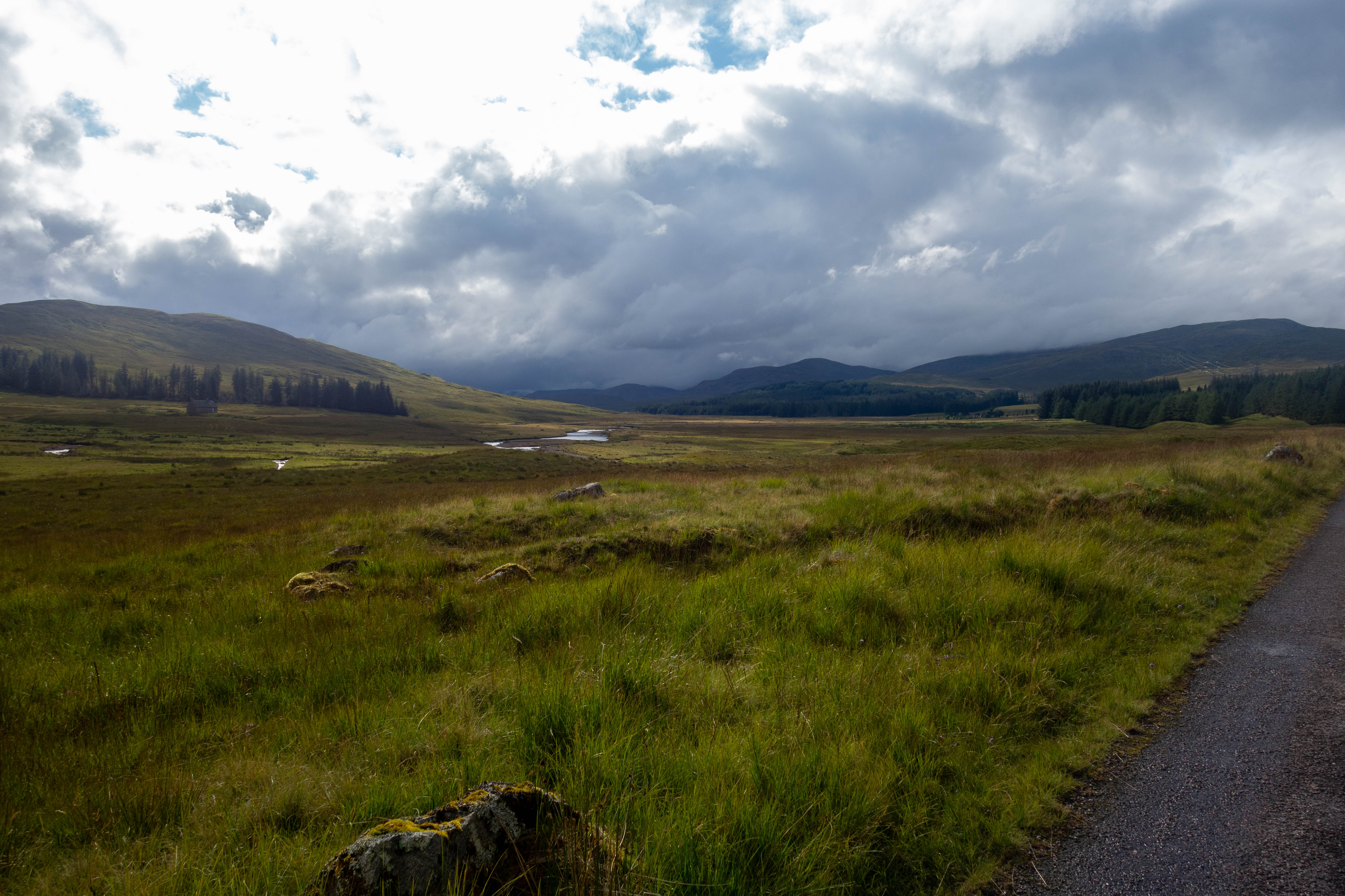
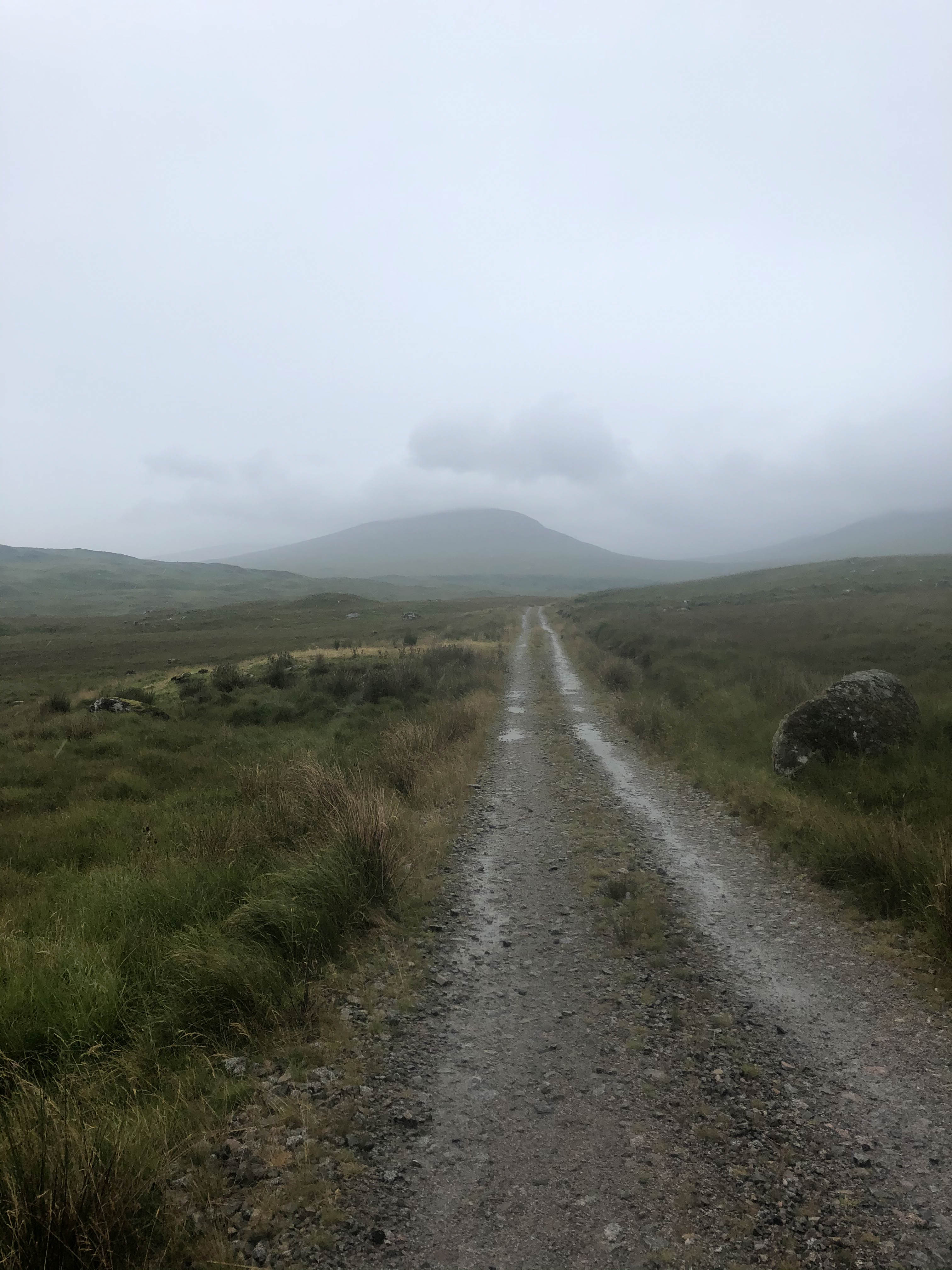
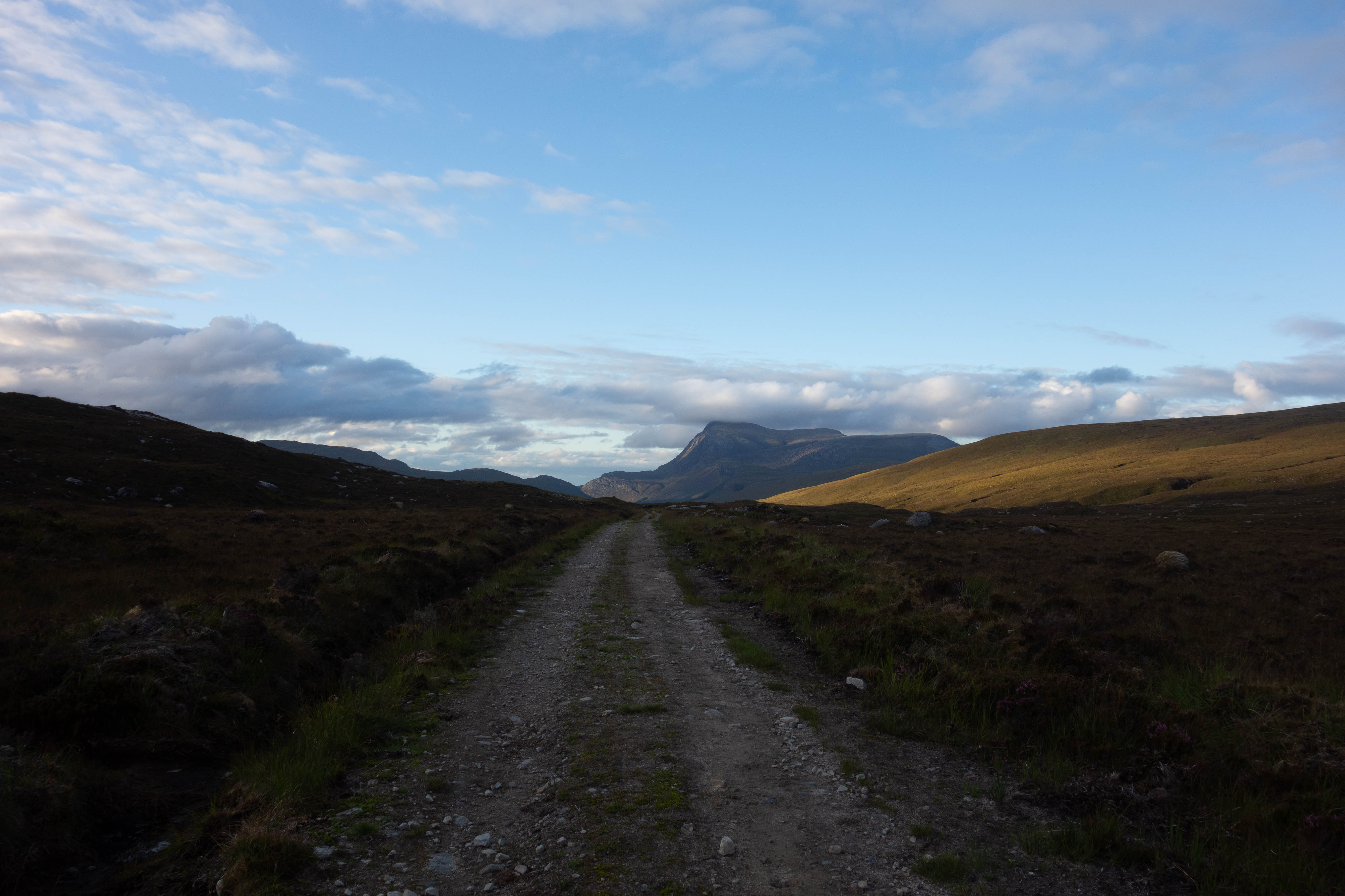
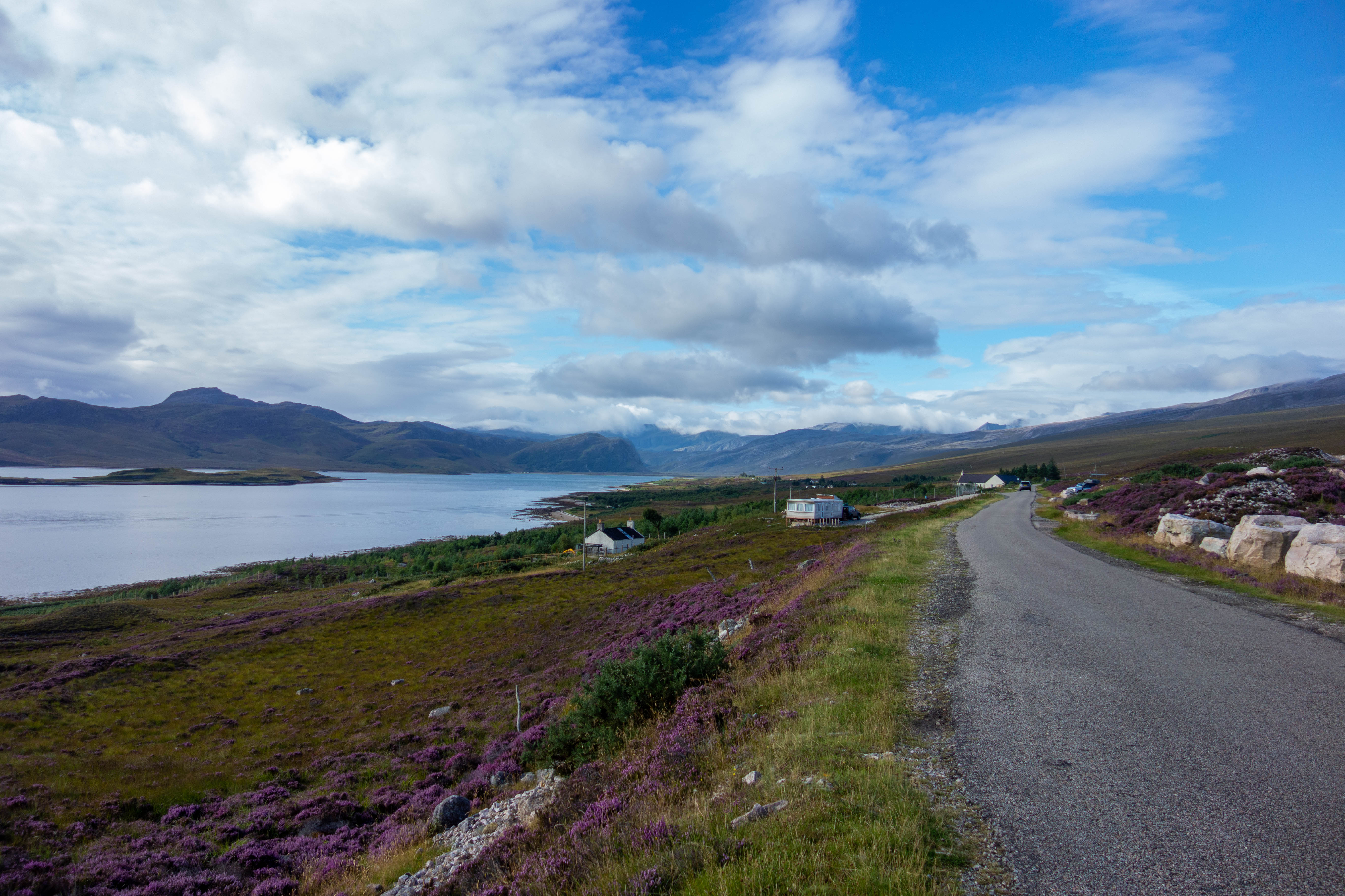
I left the road and headed up the track that took me uphill through the valley, past a few abandoned buildings and a stream where I managed to refill my bottles at the top of Loch Vaich. I headed down into the Alladale Wilderness Reserve, past their remote lodge nestled between the steep sided hills, where I joined a well-made estate road. I paused for a moment on the bridge that crossed the small river to admire the scenery – a small green valley leading off into the distance between the steep sided hills. I followed the track down the valley, past some estate buildings and the church at Croick where the road came to an end at a deer gate and a blue sign read “through road to Ullapool, no vehicle access”.
The trail continued down a well-made gravel track past some empty hunting lodges. The gravel eventually petered out and the path became more natural as it left the base of the valley and made its way up the hill and down to the road at The Oykel Bridge. I was getting really hungry at this point as I was 5 hours into the day’s riding without a proper meal. The Oykel Bridge hotel was closed to non-residents, so I headed off down the road towards Rosehall where there was a tea room and village store. This was also shut. I couldn’t go much longer without food and was about to detour into Lairg in the hope there would be somewhere open on a Sunday afternoon, when I saw a sign for the Invercassley hotel. I turned in, hoping that they were open and serving food. They were.
I ordered lunch and sat in the corner drinking a coffee whilst I waited for it to be cooked. The food was good and I managed to get a new lighter and some snacks for the afternoon from the bar before it was time to head off.
I continued along the road to Glenrossal. The road followed the river past several empty hunting and fishing lodges and wound its way gently up the glen. This glen was beautiful, with the river meandering its way up the wide base of the valley, a few remote lodges and hills gently sloping up to the moorland either side. The road turned into a track and climbed up to the small reservoir and hydro station before turning back to tarmac.
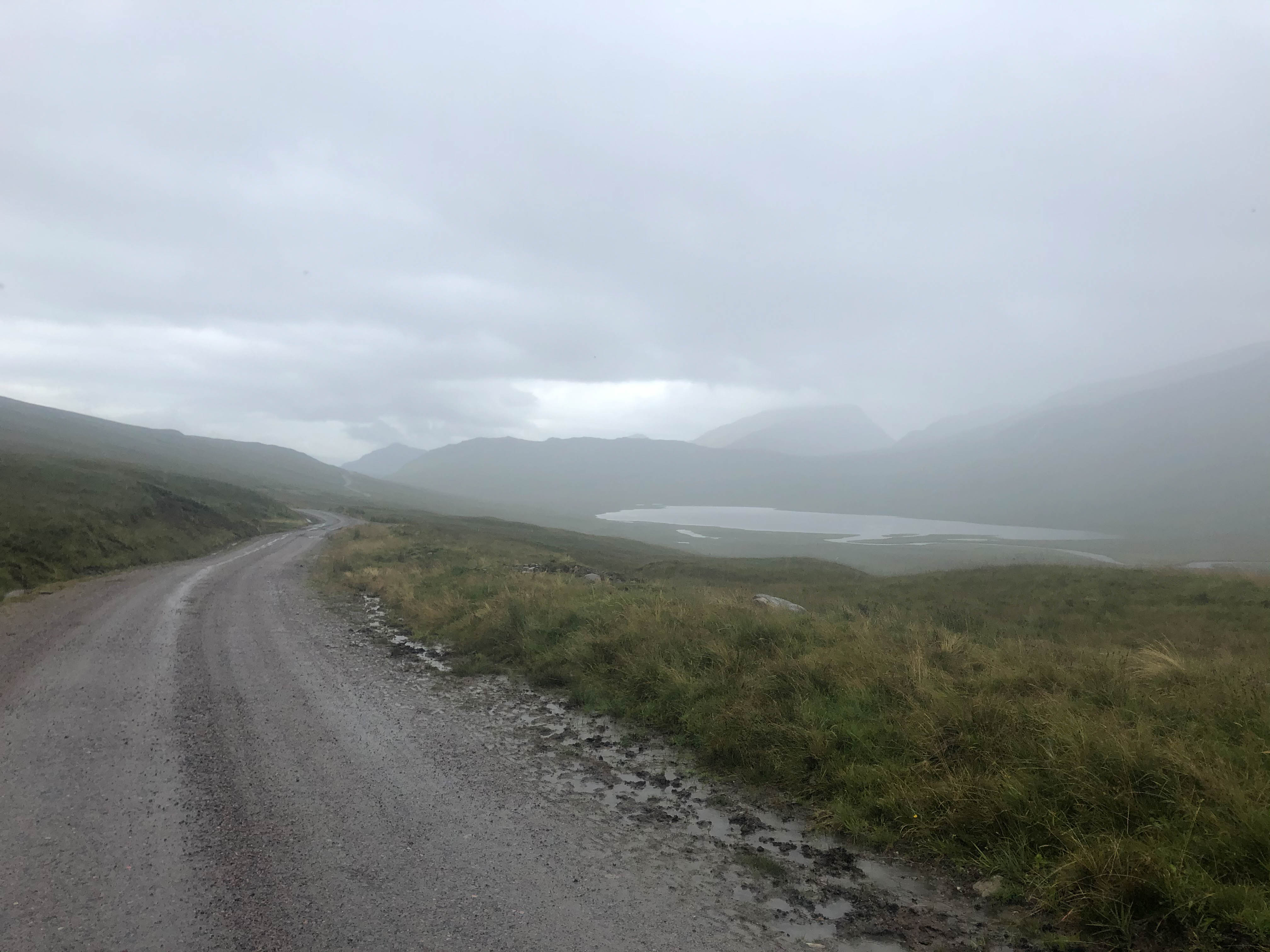
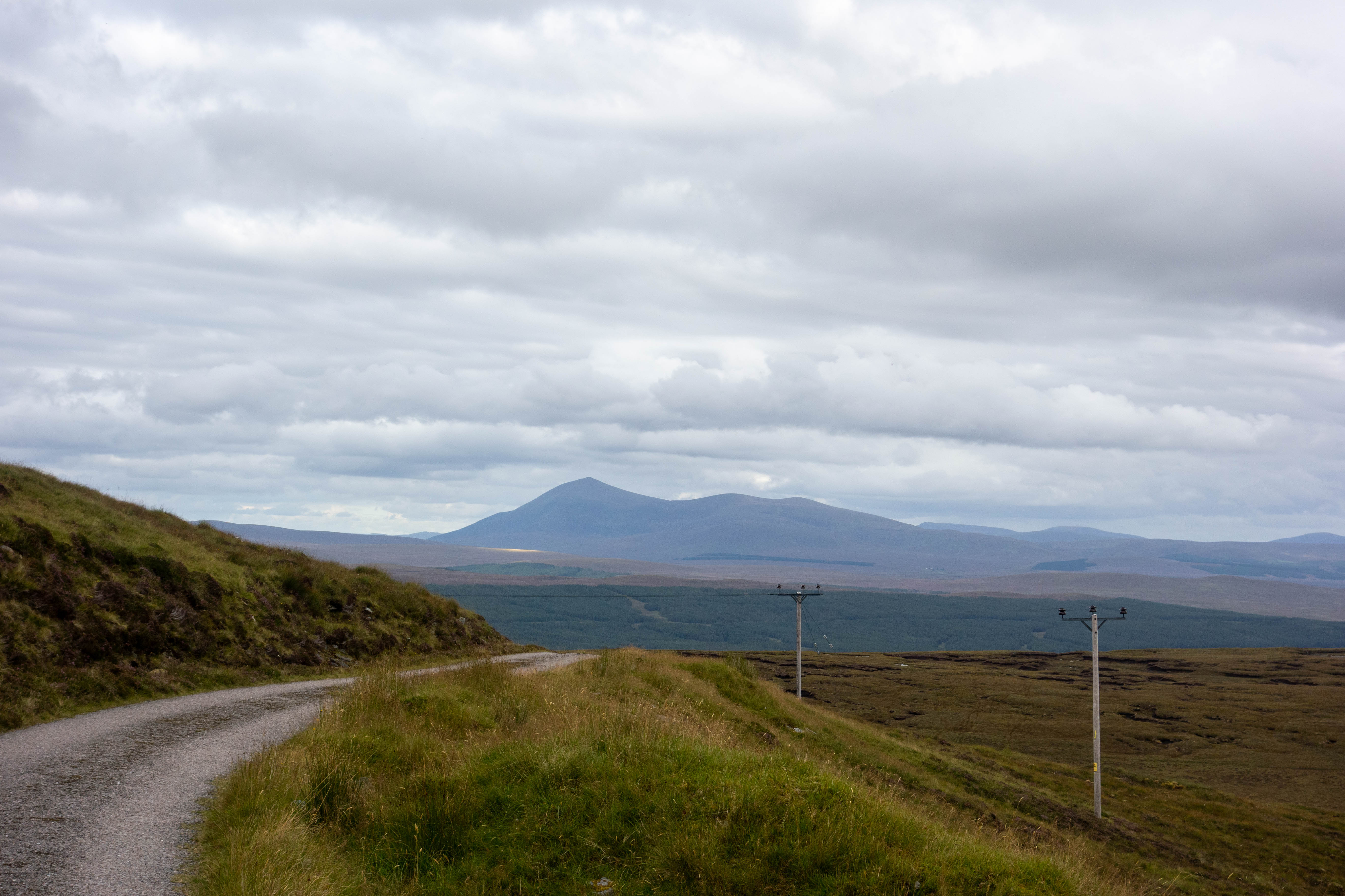
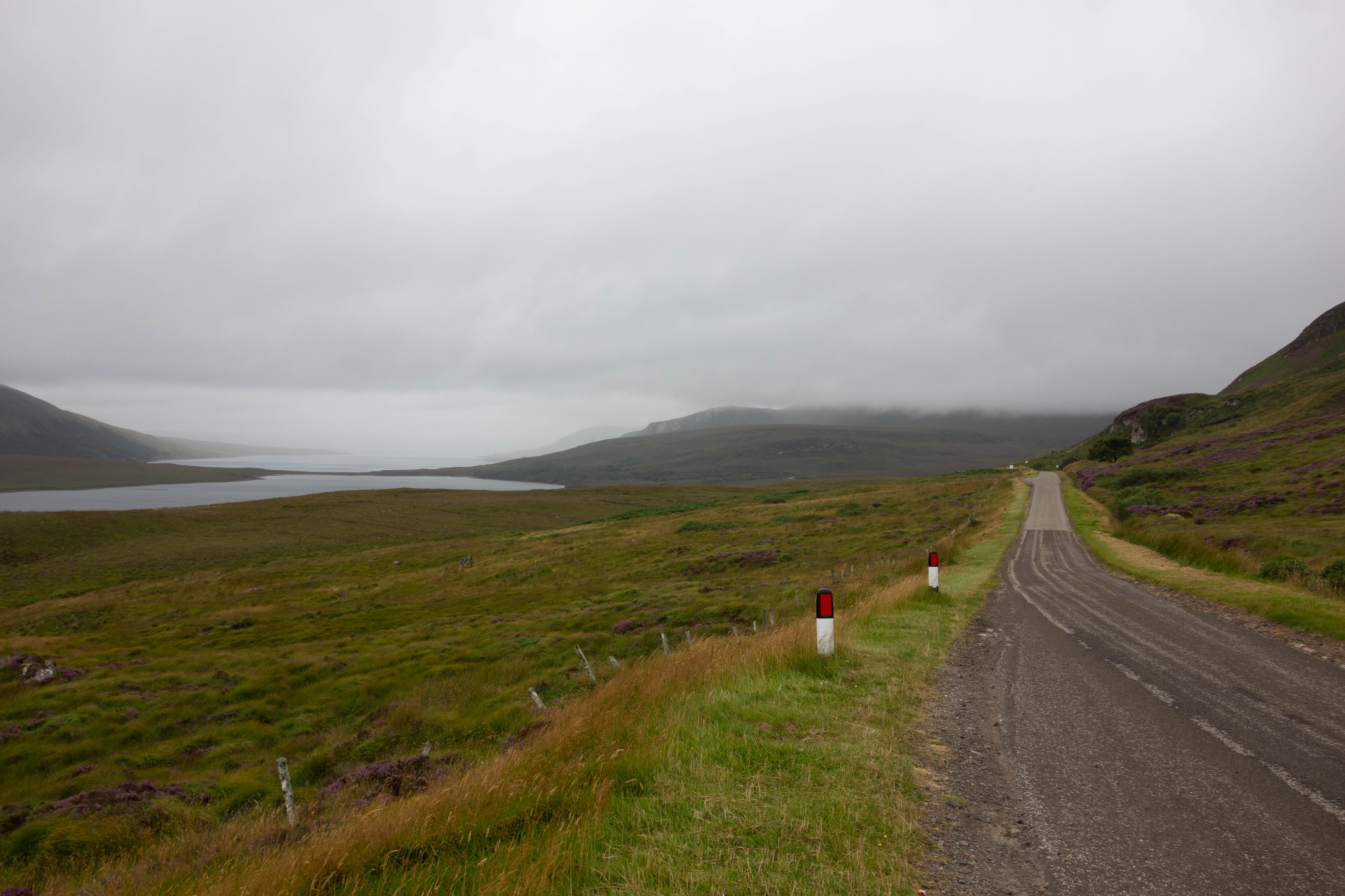
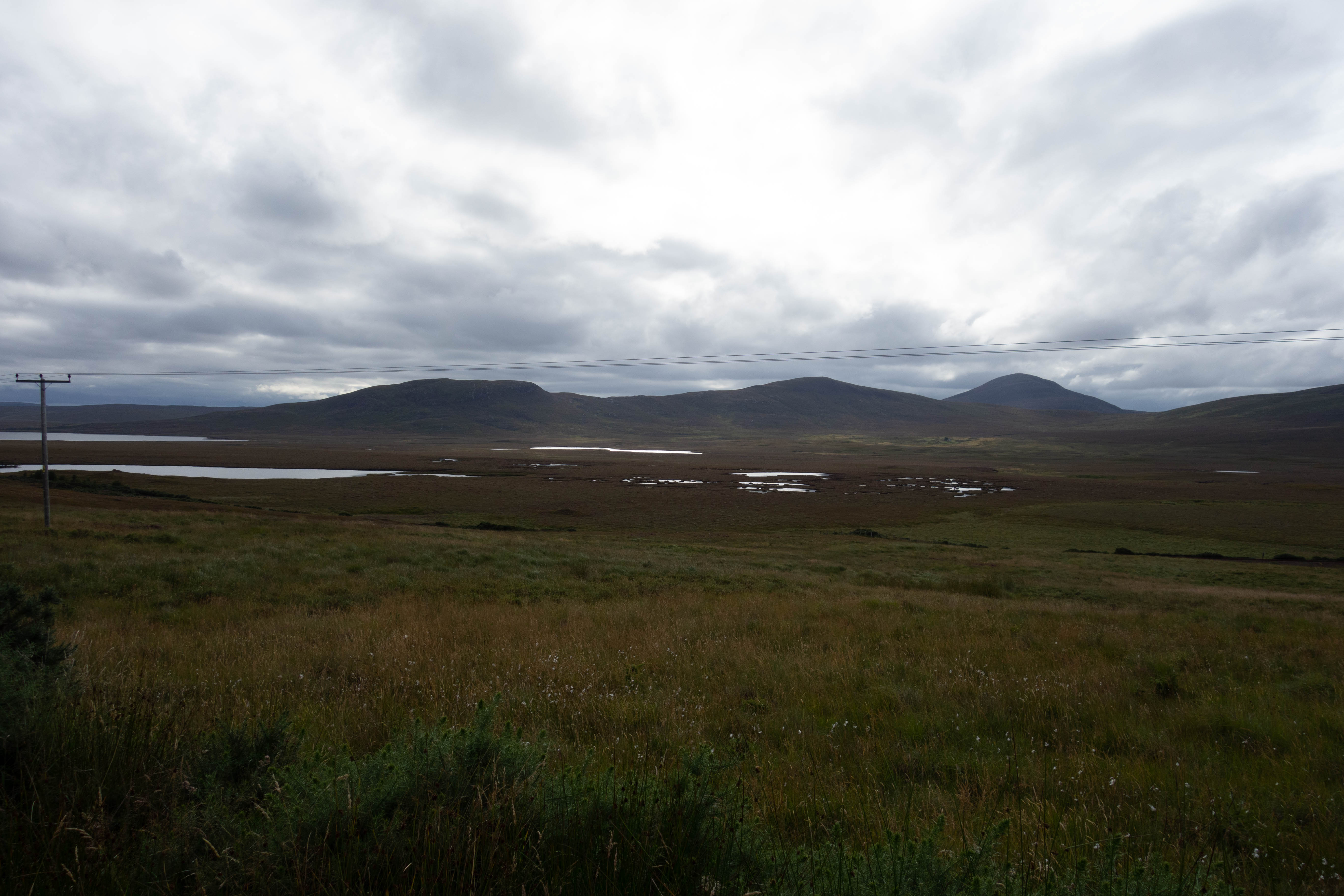
From the reservoir I climbed steeply up a series of zig zags to the top of the hill to be rewarded with views over the enormous expanse of peat bog and Loch Shin in the next valley. The descent down to Loch Shin was fast and exciting. I made my way round the end of the loch and out onto the main road where I headed north and made good progress along the road, past several smaller lochs scattered with fish farms.
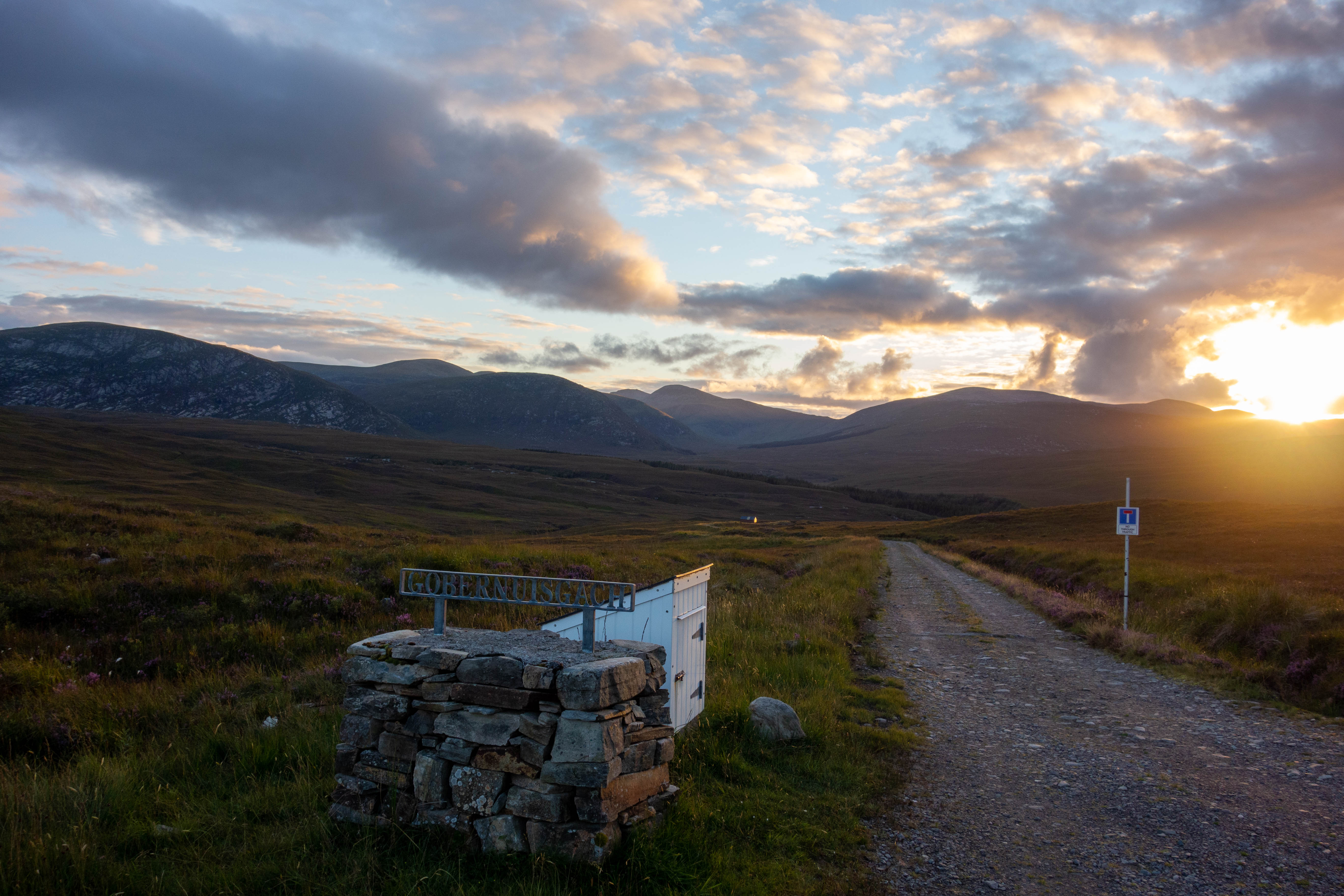
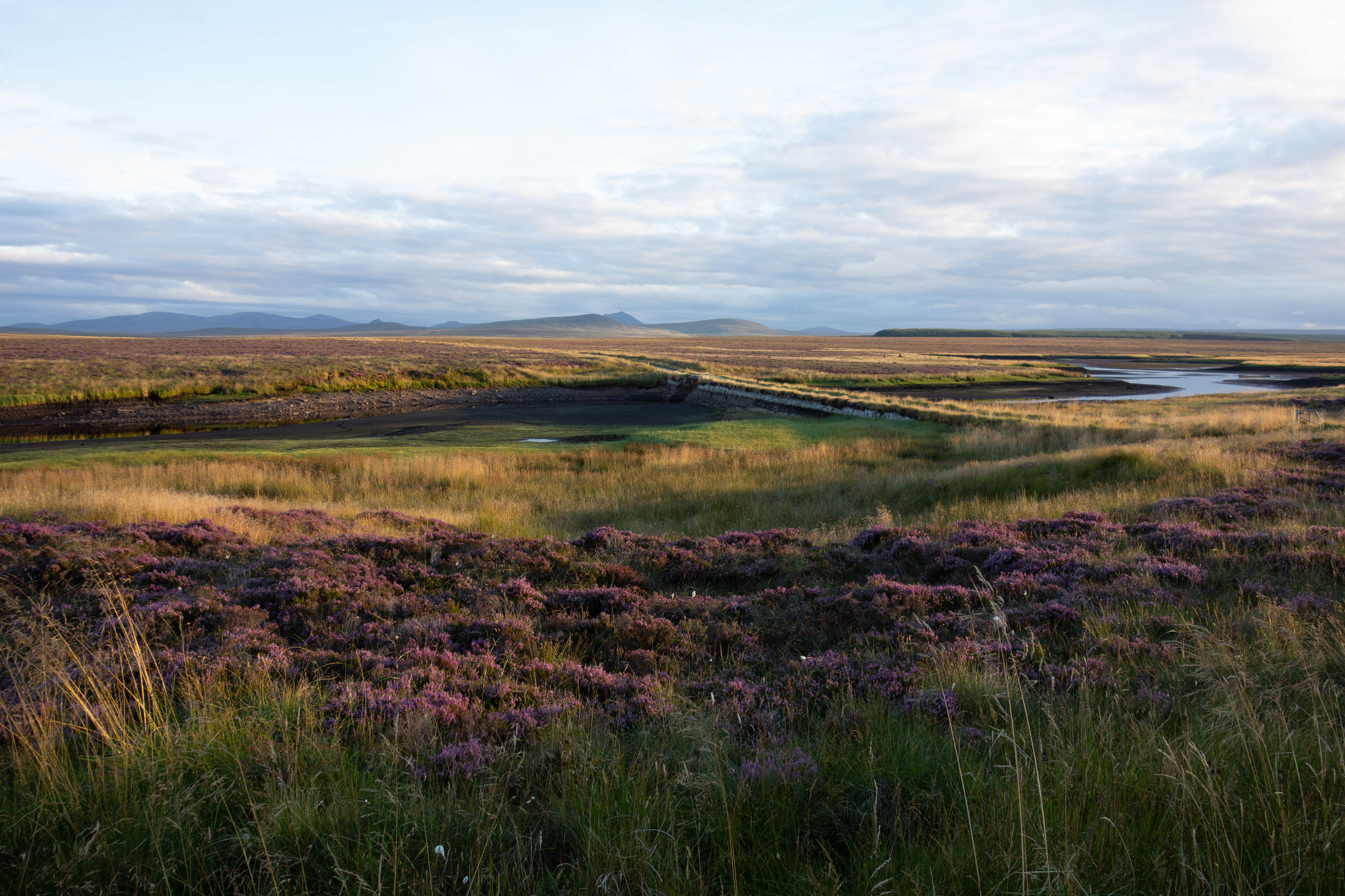
I turned off the road several miles later and headed up a pass. The sun was setting and the light on the hill was amazing, although the midges were out in force now and every time I stopped to take a picture I was attacked. I followed the track down the other side of the pass and through the grounds of an empty, but beautiful maintained lodge with sculptures in the grounds and neatly mown grass before following their drive up to the road. The sun was still setting and the ride down the glen through Alltnacaillich with the last rays of light illuminating Ben Hope was amazing.
I was looking for somewhere to camp but there were midges everywhere and I rode past a few lovely looking spots but there were just too many flies. I passed a few people who had set up camp but were hiding in their cars and decided to keep going, hoping that if I got up a hill where there was a bit of breeze or nearer the coast that I might find somewhere with less midges. I crossed the river before it entered the loch, past a small lodge/bothy that was locked and carried on up the hill. The sun had finally gone and as I reached the top of the hill I spotted some flat ground just off the path that would do for the night. I pitched my tent by torch light and boiled the rest of my pasta before going to sleep.


day ten
– Loch Eriboll to Cape Wrath
The day started off a bit greyer than I had hoped and I didn’t manage to wake up to the sunrise over the sea, nevertheless It was nice to wake up and see the sea. The track down to the road was rough and I was glad I didn’t attempt it in the dark. In my mind it was now just a short ride round to Durness where I planned to find some breakfast, before catching the ferry over to Cape Wrath. In reality Loch Eriboll is actually quite big and the road that winds its way around it is actually about 25km to Durness, but the scenery is stunning. Durness was busy. Well not that busy, but it was the most people I’d seen in one place for about a week. Despite this, I couldn’t see a café that was open for breakfast and the closest was a burger van that didn’t open till lunch time. Google Maps told me there were a few places in Balnakeil village nearby, but I was keen to get to the ferry so I stopped in the Spar to get supplies and conveniently they had a coffee machine and fresh pastries. After drinking my coffee beside the road and watching the endless procession of motorhomes go by, I cycled out of town towards the ferry.
The ferry to the Cape Wrath peninsular leaves from the end of a small road that heads north from the main road along the side of the sea loch. At the end of the road there was a slipway, a bus shelter with a cement mixer in it and a small sign with a phone number on, but no ferry. After a short phone call I could see a small boat heading across the loch towards me. The ferry was a small aluminum boat, with no cabin and space for about 8 people.
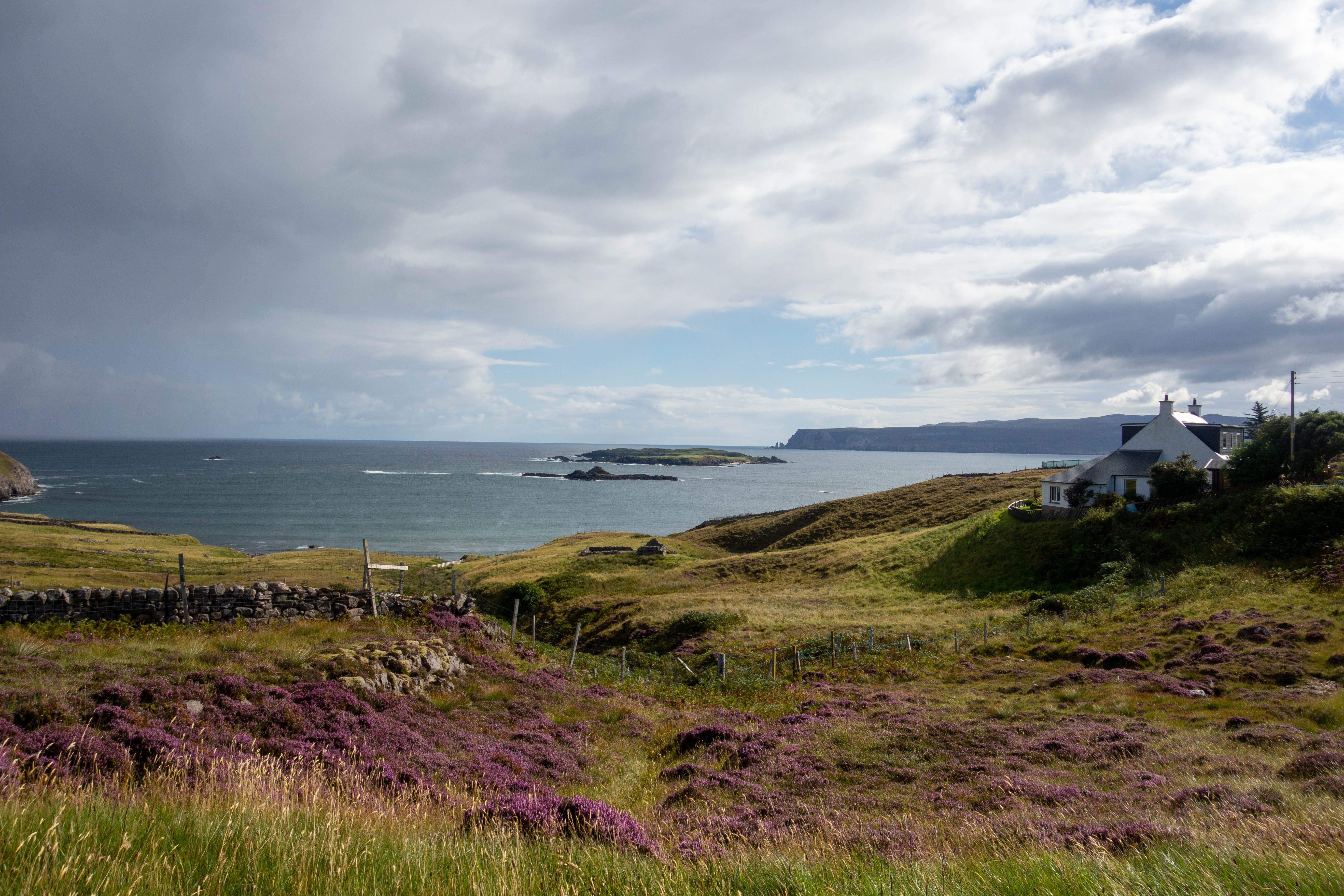
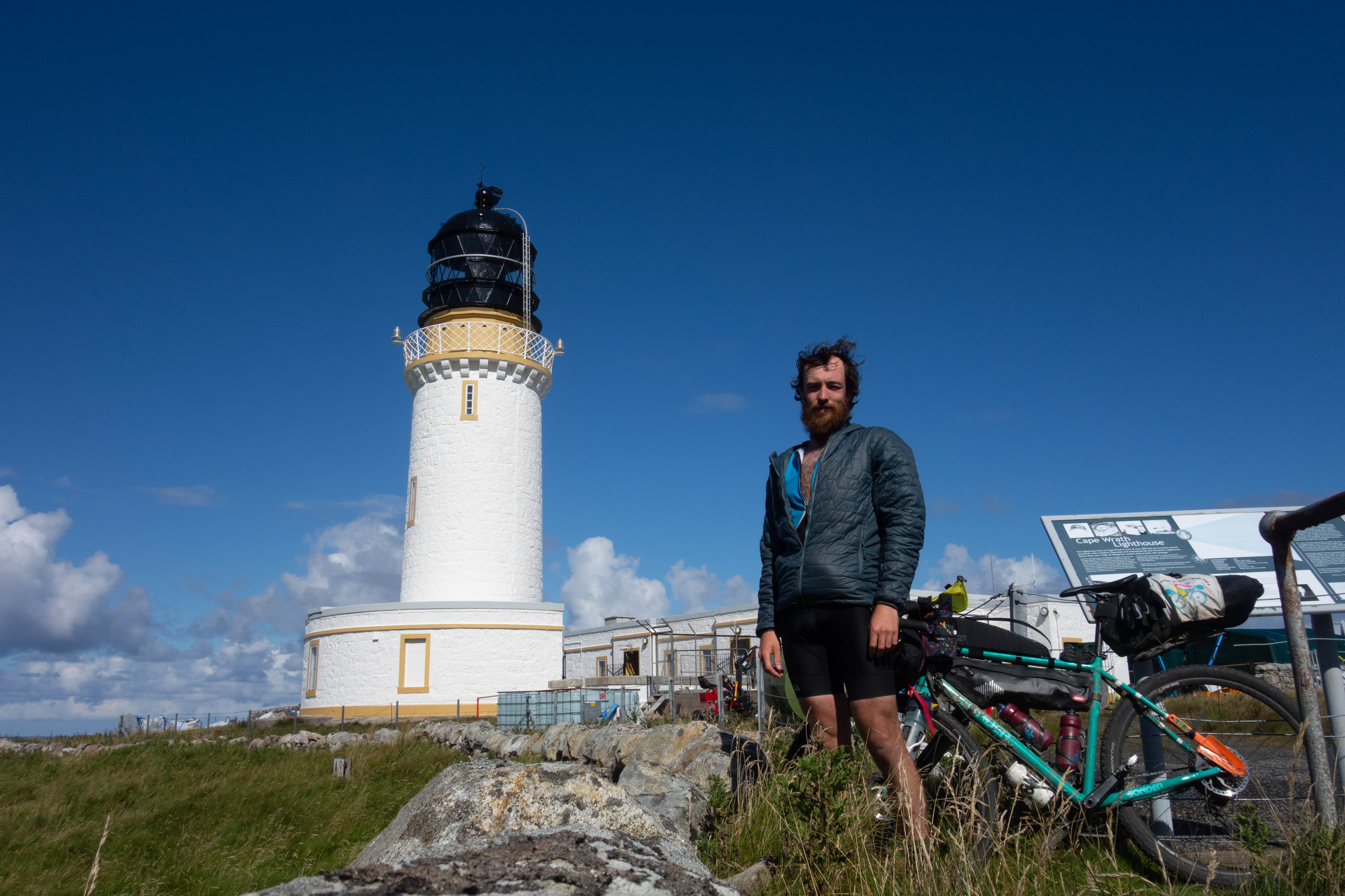
On the other side of the loch I said goodbye to the ferryman and set off along the road to the lighthouse. The Cape Wrath peninsular is a bleak and beautiful expanse of land with not much there. I passed a couple of empty holiday houses near the ferry, a few military sentry points and an abandoned minibus, but otherwise the peninsula is just empty peat bog as far as you can see.
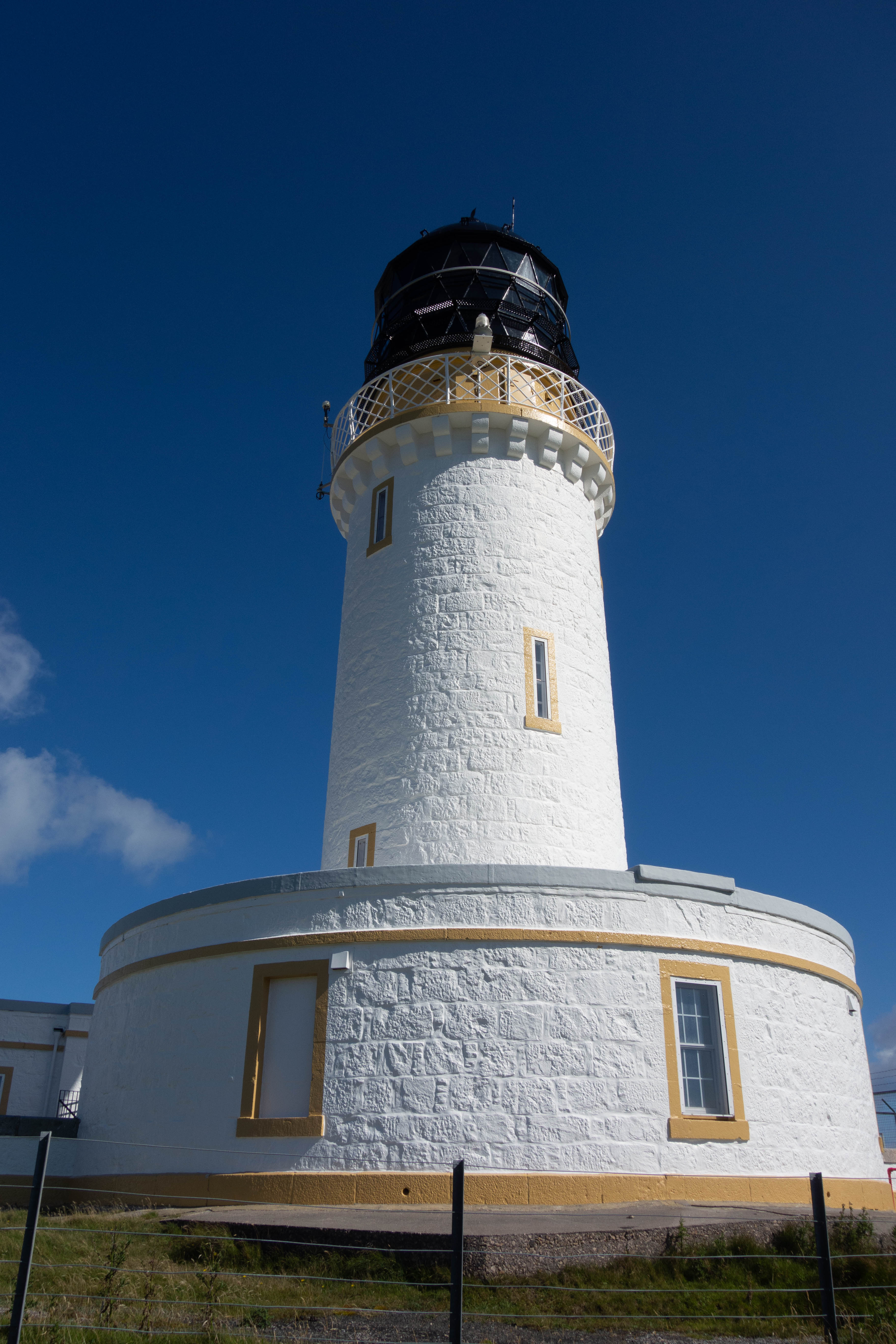
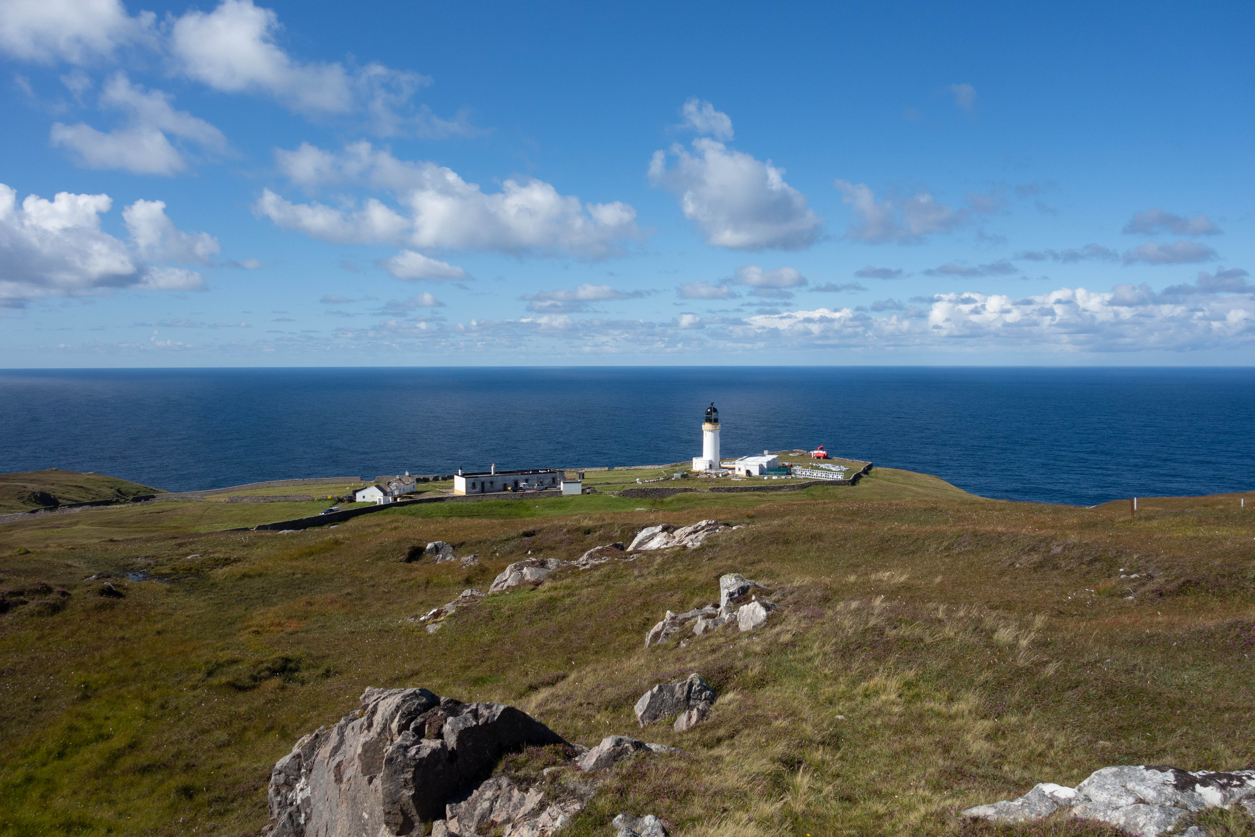
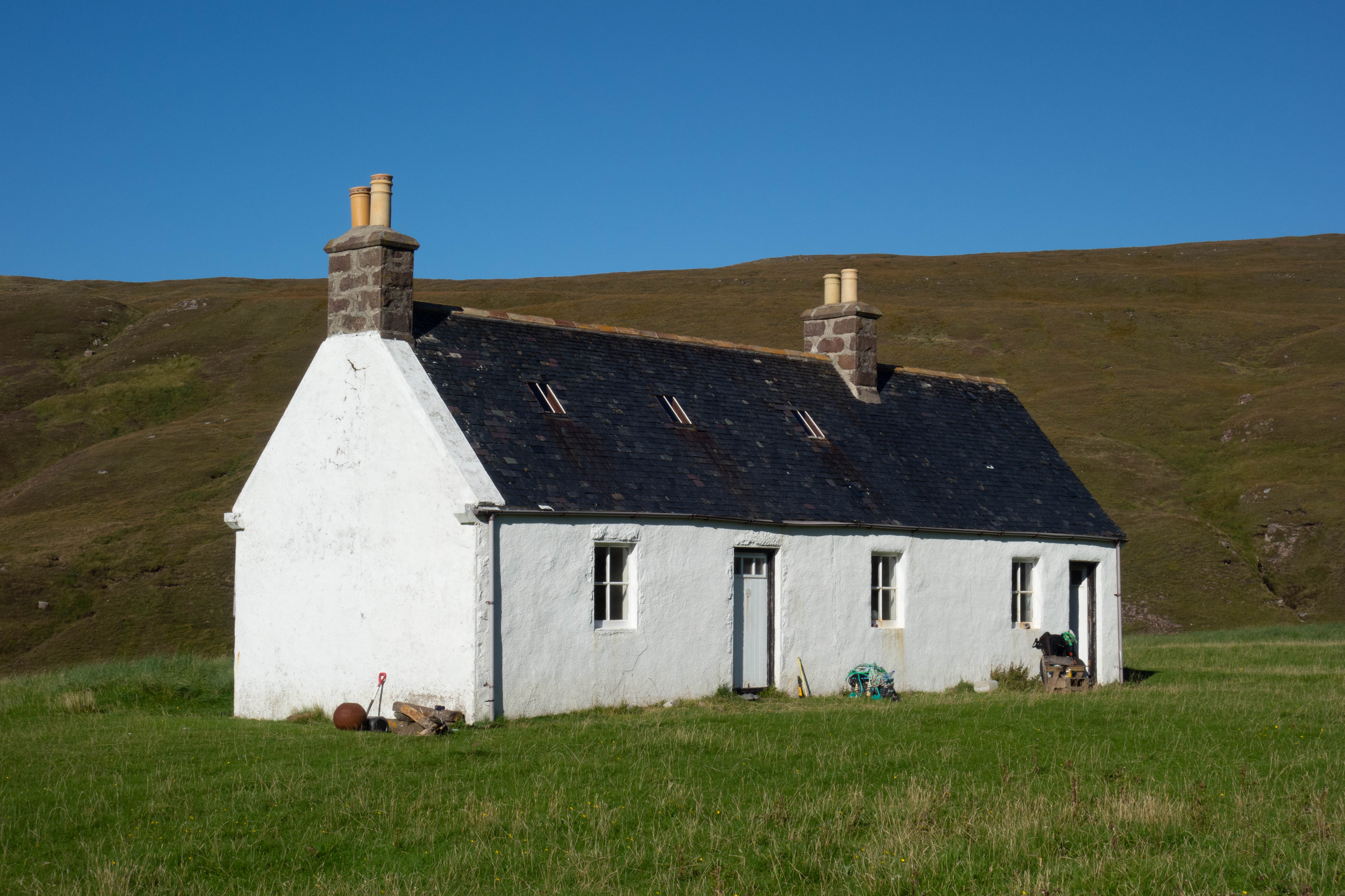
Eventually the road rounded a corner and I could see the lighthouse and the end of this leg of my journey in the distance. The lighthouse itself is a well-maintained white painted tower that stands defiantly on the edge of the high cliff. Beside the lighthouse and back from the edge of the cliffs are an array of less well-maintained buildings – old storerooms, generator buildings, fuel tanks and lighthouse keepers accommodation. Things that would have been essential to the running of the lighthouse but are now surplus to requirements. One of these buildings is now home to the Ozone Café and its owners, who are now the only permanent residents on the peninsular.
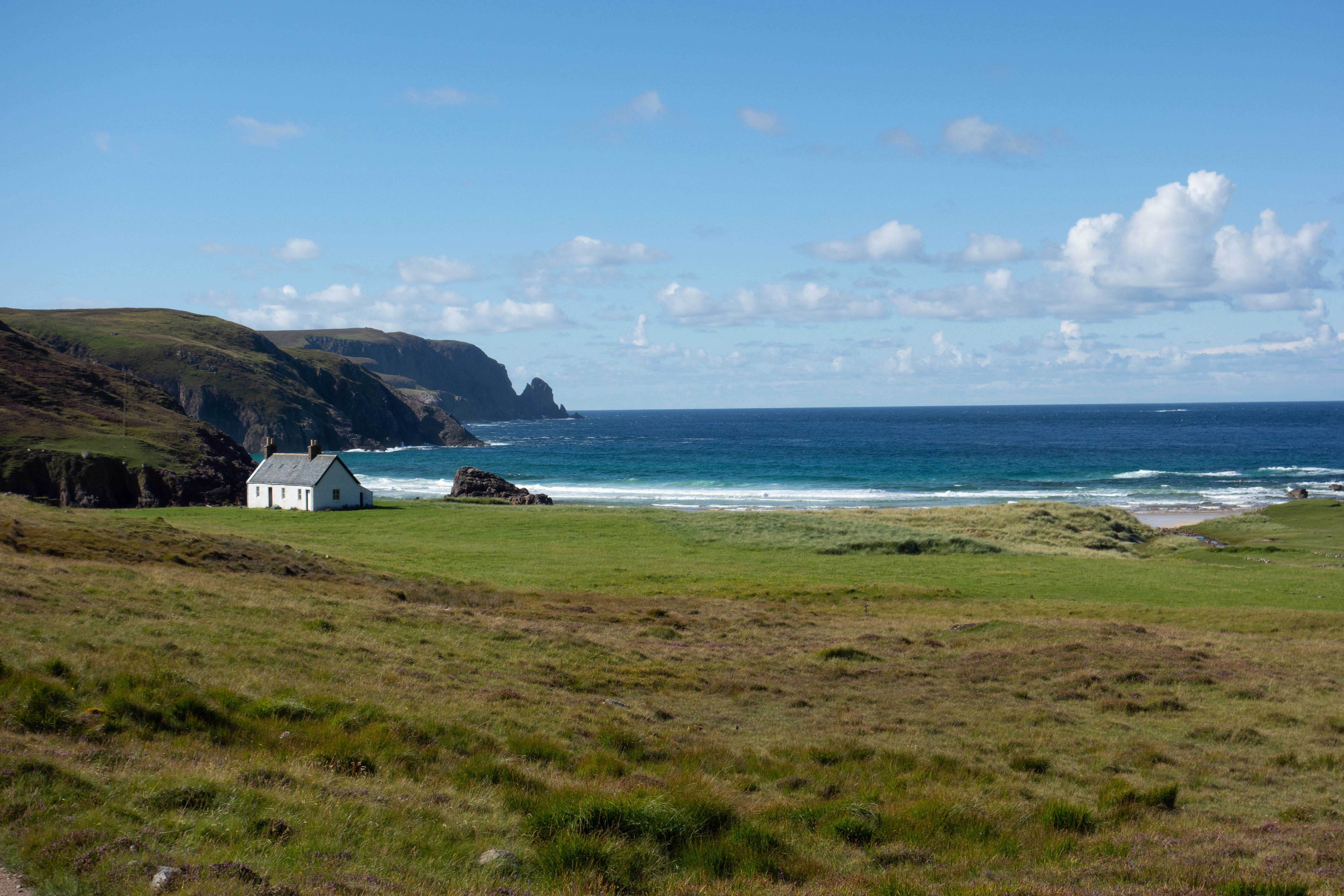
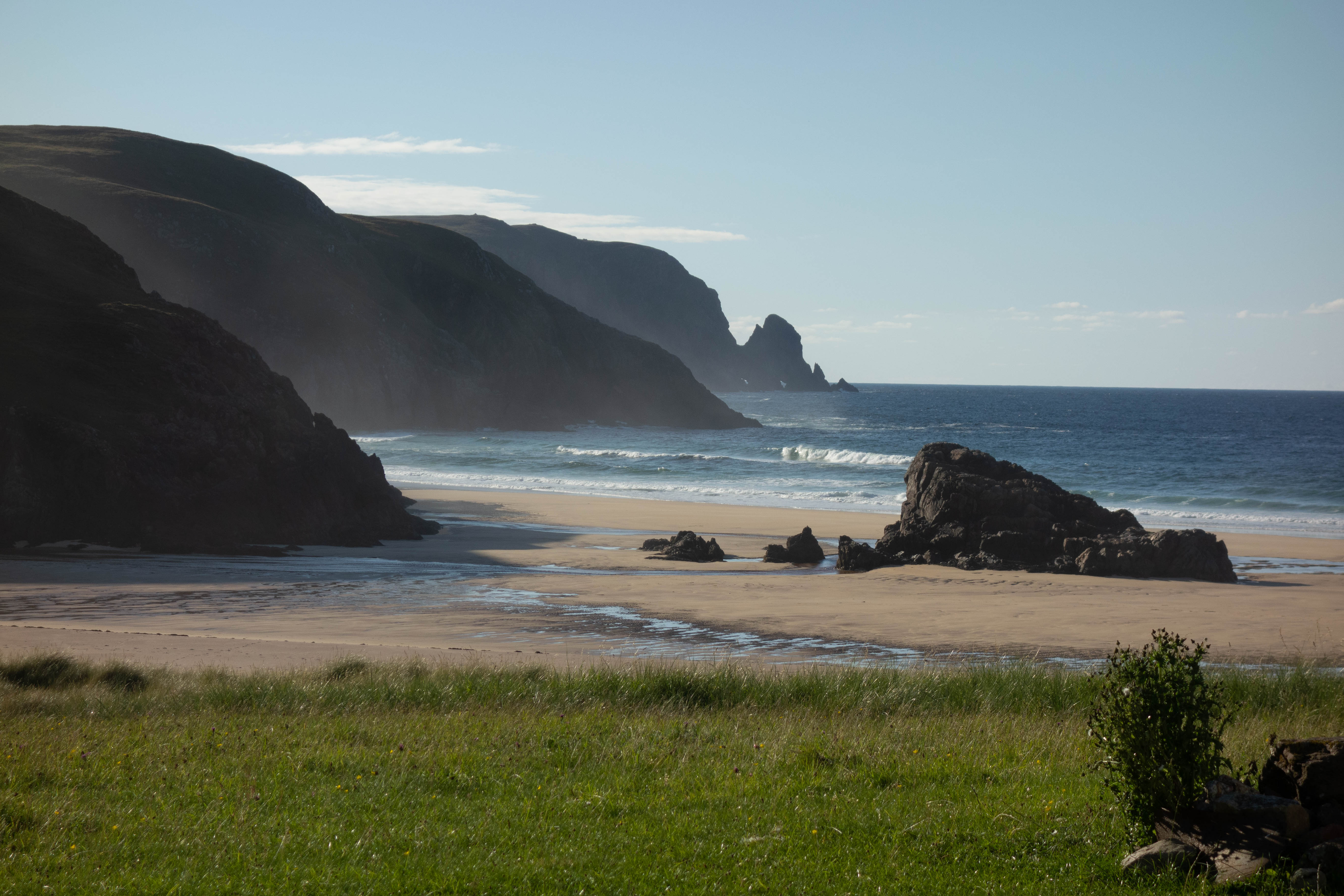
After wandering around the lighthouse for a bit, I had a cup of coffee, some beans on toast and a piece of cake in the café before heading back down the road towards Kearvaig, where I planned to spend the night. Kearvaig is a pretty special place and a lovely whitewashed bothy sits on a grassy area above the beach, looking out over the sand towards the endless ocean framed on either side by tall dark cliffs. It felt like there was more to it than just the location, perhaps this was down to a combination of the way I had gotten there and the sunshine. A small Eden tucked away from most people. A fitting (almost) end to a journey. I dried my tent out, walked barefoot across the beach, climbed a small pile of rocks and spent the rest of the afternoon sitting in the sunshine watching the waves crash into the sand and reflecting on my journey.
I thought about why I had started this ride. I had thought about this before but it had been hard to pin down an actual reason, other than just because I could. I had chosen to raise money for Parkinson’s charities, but this wasn’t the reason for me starting. If anything the charity element was just a way of me justifying going. I think “because I can” was the reason I had started this journey, but it was deeper than just a whim. With a family history of Parkinson’s disease, a small voice in the back of my head keeps asking “what if one day you get it?”, “ what if you’re not able to do something like this in the future and you didn’t take the opportunity whilst you could?” I think I had to go. I couldn’t accept the risk of not going and then never being able to.


day eleven
– Cape Wrath to Loch Loyal
It was a short steep climb back up from Kearvaig to the road, past the abandoned minibus and back towards the ferry. The wind was picking up and I hoped that the small boat would still be running. It was, just. I caught the last boat back across the loch, which was much bumpier than the journey over. This time I did a detour to Balnakeil village on my way back to Durness to find somewhere for a late breakfast. Balnakeil is an odd looking Village, with very boxy repurposed military buildings that are now artist’s studios, galleries and hidden at the back, a café.
The food was good but the day went downhill from this point. After riding back around Loch Eriboll and having an incident with a motorhome that didn’t know how wide it was (which resulted in the motorhome having one less wing mirror and me having a sore wrist), the weather turned. The wind built up, the sky went grey and it rained occasionally.
It was a slow, cold ride into the wind up over the plateau and along the coast to Tongue, which ended with me missing lunch serving time at the only place that was serving warm food. I was left with a sandwich and an instant coffee from the village shop instead. After drinking my coffee (which wasn’t actually too bad) outside the shop and getting colder, I set off just as it started to rain again.
It was nice to get off the main road but the rain was increasing and it was miserable. I took a detour off the road, heading east around Loch Loyal in search of the bothy that was hidden around the other side, hoping to get out of the rain. The track to the bothy was not really a track but loose pebbles on the shoreline of the loch followed by some bushes, a ditch with a slippery plank over it and some boggy grass. As a result it was more of a walk than a ride. I was soaked by this point and just hoping that the Bothy would be unlocked. It was. I managed to dry out and warm up a bit. The rain had stopped by this point and the sun was setting behind the hills on the other side of Loch Craggie. I decided to stay here for the evening.


day twelve
– Loch Loyal to Strathmore
The day started off dryer than the previous day, but just as grey. I left the bothy and walked/rode back to the road where I headed south along the shore of Loch Loyal. The road was easy riding, with a few small hills but nothing challenging. The landscape was, in most parts, uninspiring compared to the previous few days. There was no wind today and the midges were everywhere. I had to put my midge net on at one point as I couldn’t cycle up hill fast enough to keep them off.
I arrived at The Crask Inn sooner than I had expected to find the place surrounded by midges. I managed to get inside without getting too bitten and had some fresh coffee and a breakfast roll, I also got a couple of sandwiches to tuck into my jersey pockets for lunch.
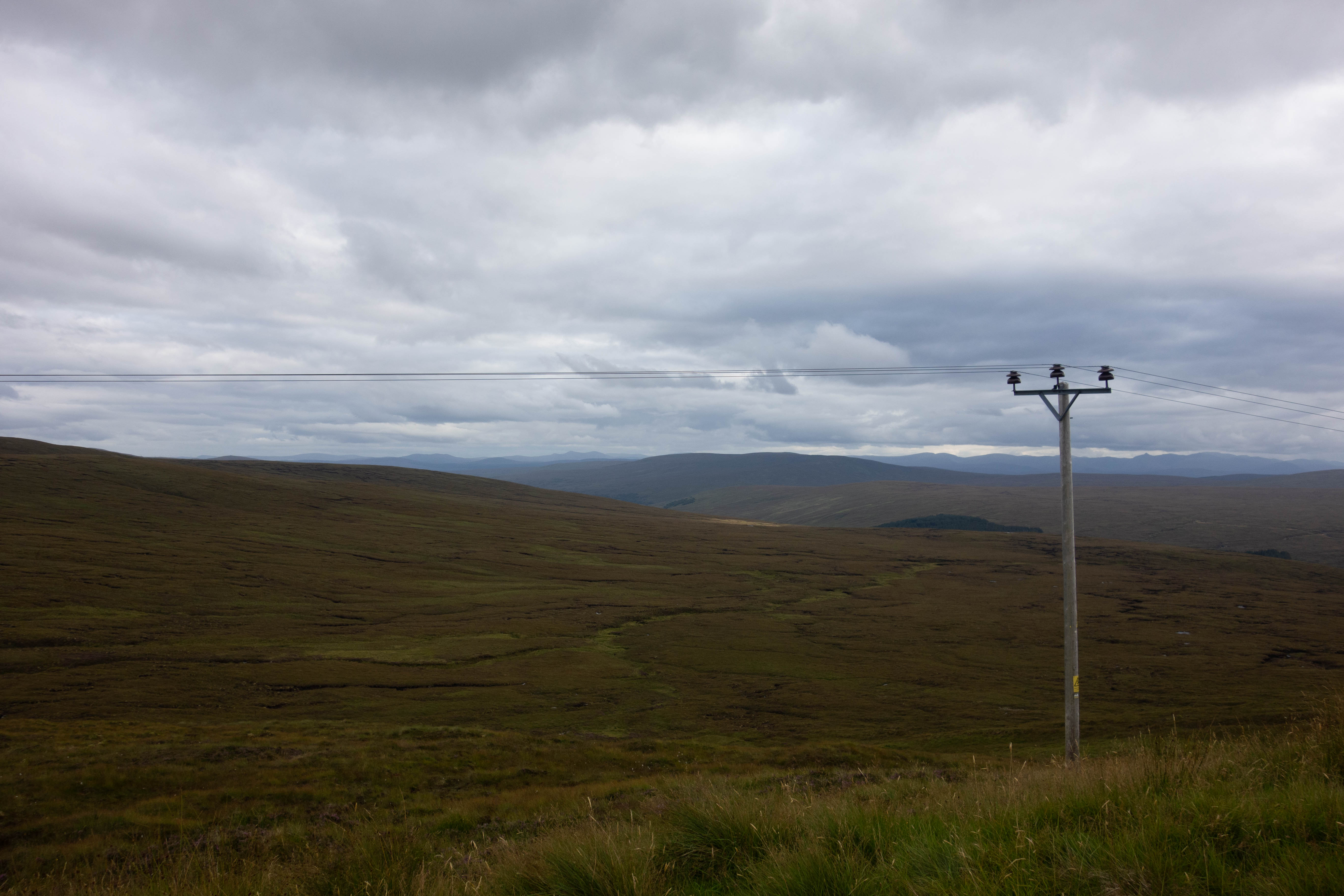
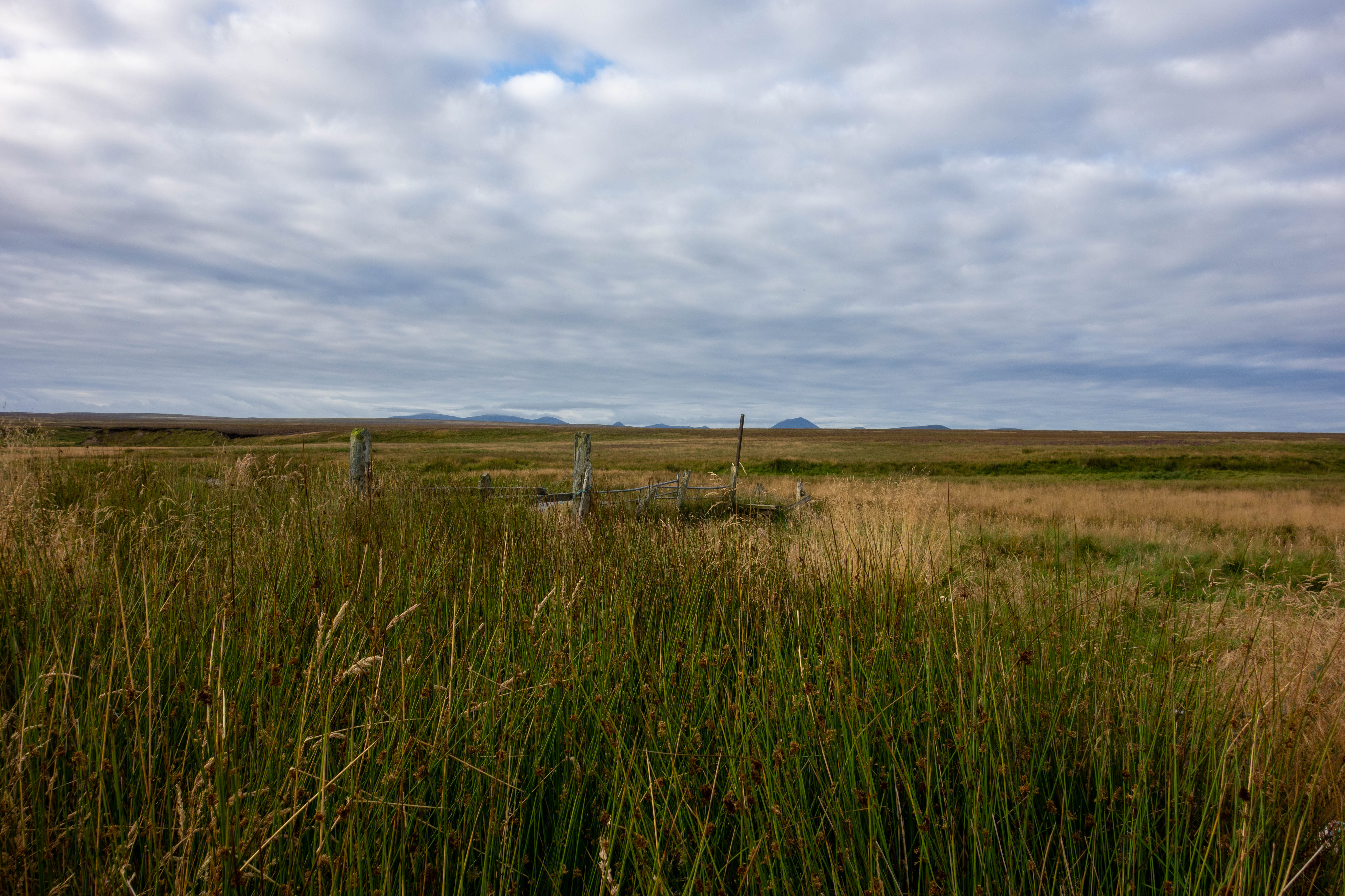
The path from The Crask inn to Loch Choire is rough and in parts it seems almost non-existent. I was lucky that it had been fairly dry lately as the path crossed many ditches, spanned by rickety bits of wood, and was boggy in quite a few places. There were very few landmarks on this stretch of the path. The open moorland stretching out almost indefinitely either side of me with The Crask Inn still visible in the distance. As the path started to climb and make its way around the side of a boggy hill, I remembered I had forgotten to fill up my water bottles at The Crask. “Never mind” I thought, I’ll just filter some out of one of the streams.
At the top of the pass the path was broken up by a stream and some small waterfalls flowing across it. It was a bit of a scramble to cross over and I decided that, as I had stopped anyway, this was a good point to fill up some water bottles. My water filter was playing up – it was working but it was so slow and with every second I spent crouched beside the stream, more and more midges appeared. One bottle of water was enough for now.
I descended down towards the loch. The trail was steep and rough with loose rocks, but, with a bit of caution, was still rideable. It improved somewhat after this as it made its way along the edge of the loch, past empty fishing shelters and over small wooden bridges that often stopped a couple of feet short of the ditch they were meant to span.
At the end of the loch was Loch Choire Lodge, a collection of farm buildings and lodges with some fishing boats moored up on the shoreline, from here the trail improved greatly with a nice gravel estate road. I made an error when plotting the GPS route and ended up taking a 40 minute detour through thigh deep heather and having to climb over a deer gate only to rejoin the main track again. But once back on the gravel I made good progress, past several lochs and people fly fishing until I joined the tarmac again.
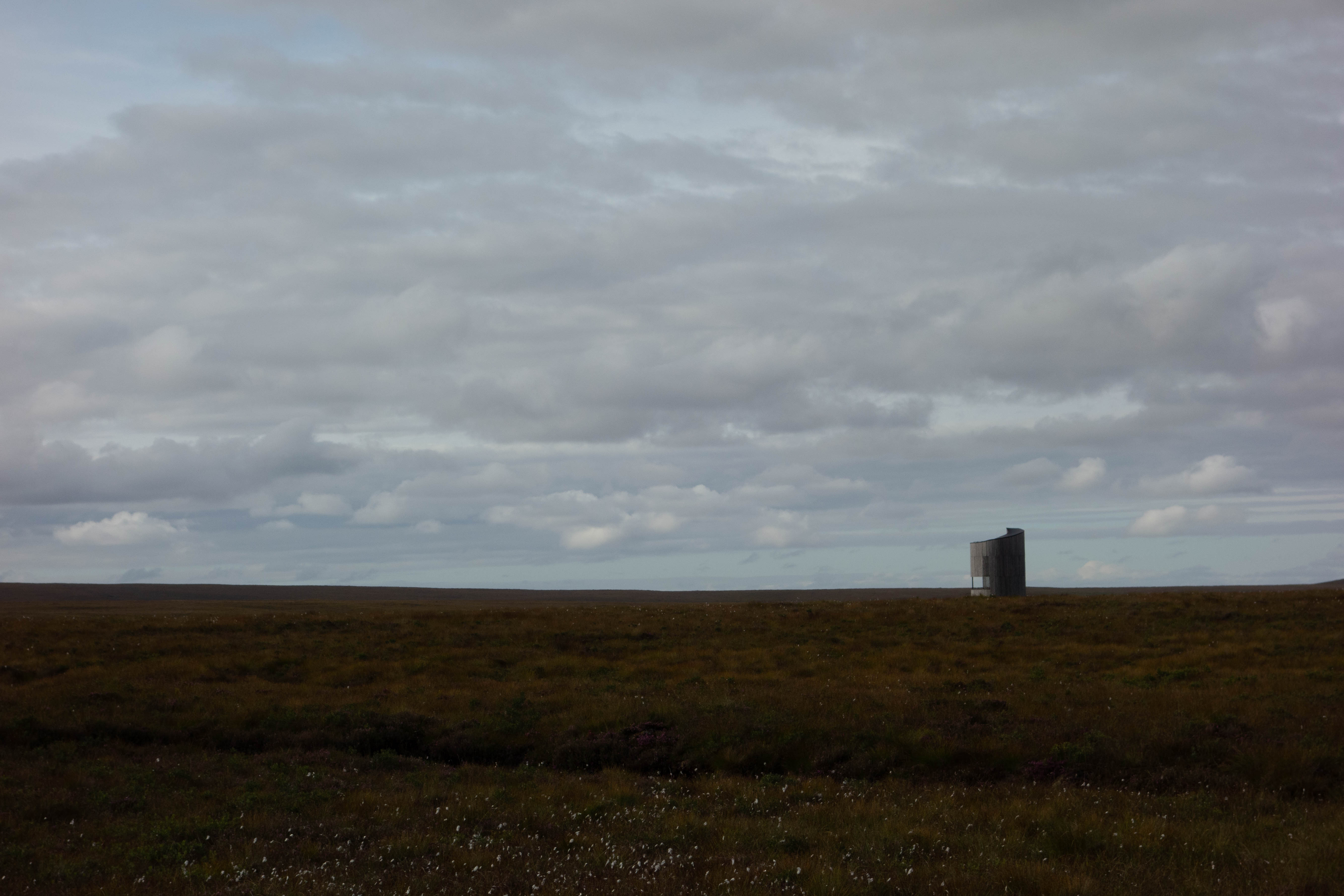
I joined the main road at Kinbrace and headed north. The landscape was changing and as I rode north the hills and glens of the highlands far away to the west started to give way to flatter fields and forests. The road carried on past the RSPB Forsinard Flows Reserve and its odd looking tower, then I turned off, back onto the gravel tracks through the forest.
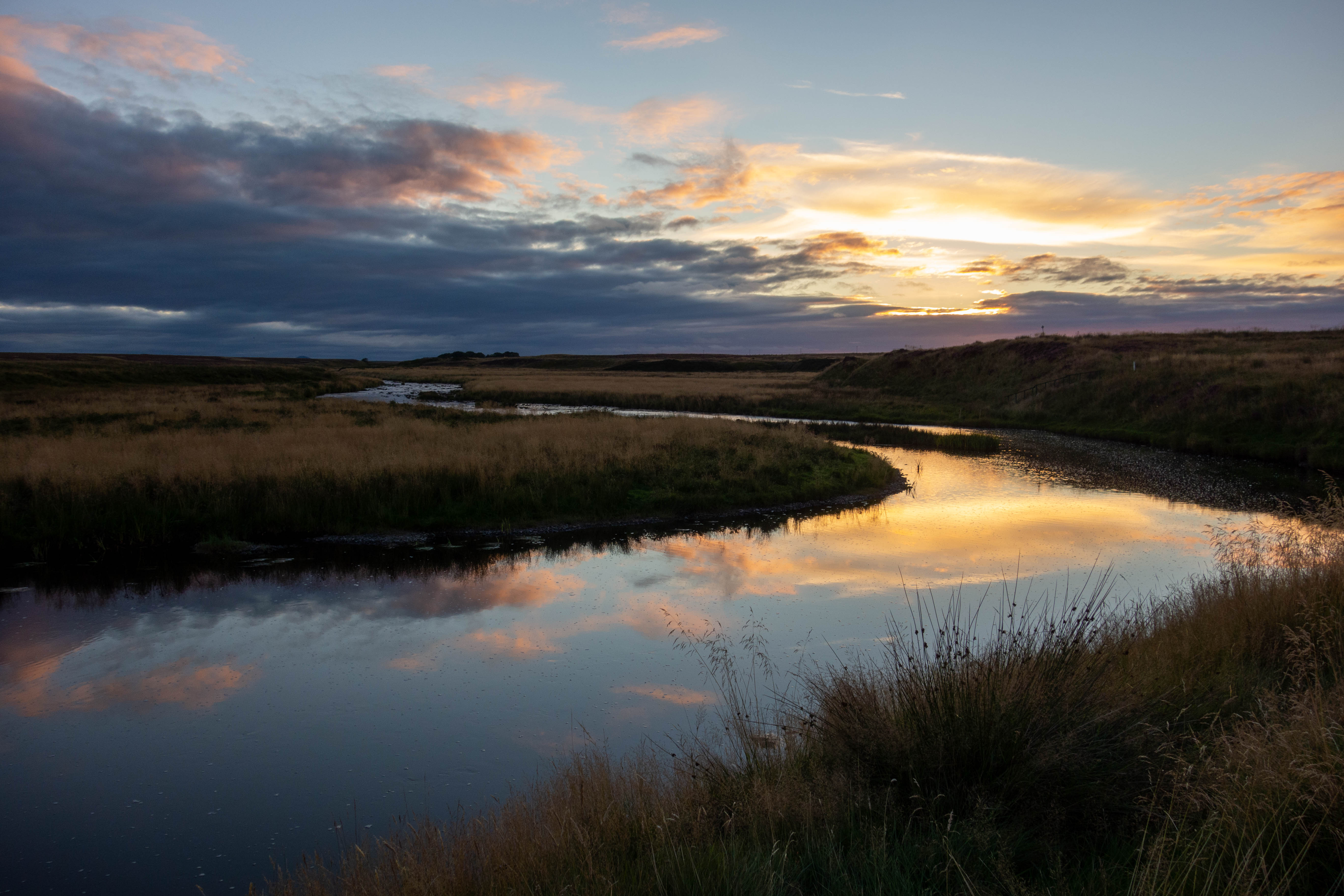
The sun was setting and the evening light was fantastic as I crossed the railway line at Altnabreac. I left the forest and joined the tarmac again and could see wind turbines in the distance. The sun was setting and I needed a spot to camp. I found somewhere just off the road beside the River Thurso. I pitched my tent, cooked my last dehydrated meal and sat watching a man fly fishing upstream as the last of the light disappeared.


day thirteen
– Strathmore to John o’ Groats
In the morning the midges had returned, so I packed up and headed off pretty quickly. There was a village about 15 miles down the road where I hoped I could get some breakfast, a coffee and enough food to get me to the finish at John o’ Groats in the afternoon. I passed the wind farm, crossed the main road and continued on quiet back roads through farmland.
The village was small and only had one shop – a newsagents come village store, with a limited supply of food and a broken coffee machine. Disappointedly I bought a few cold sausage rolls and a handful of chocolate bars and got back on my bike. There were no more shops until JOG.
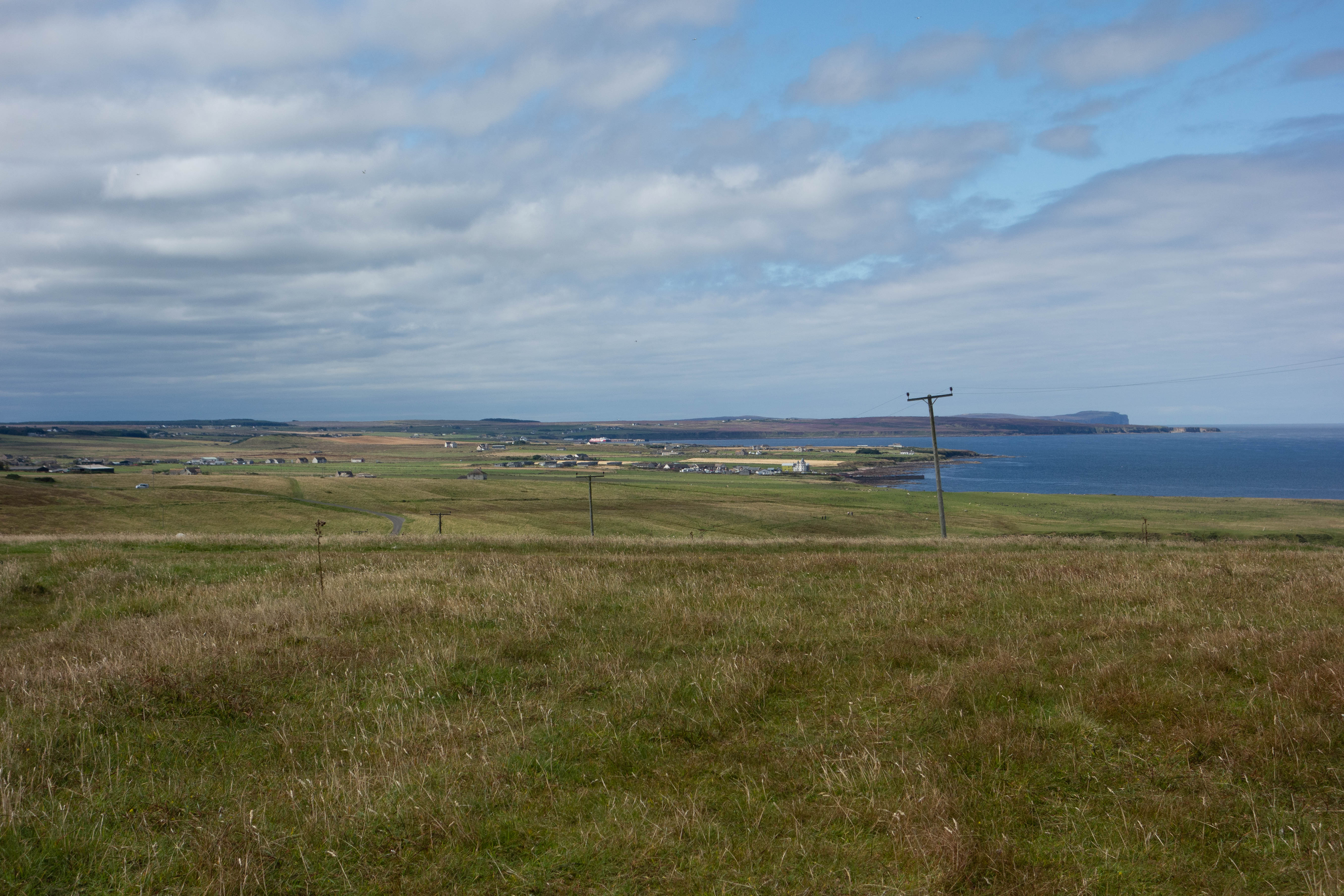
The landscape was mostly flat and although not particularly interesting, I was grateful for the easy riding. I kept going, along what was possibly the longest, straightest, most boring road I had ever been on. At one point the electricity poles swapped from the right side of the road to the left, otherwise the road just went on, looking exactly the same for miles. Eventually the road crested a small hill and turned to reveal the sea. It was a wonderful sight. I rolled down the hill and turned east onto the coast road.
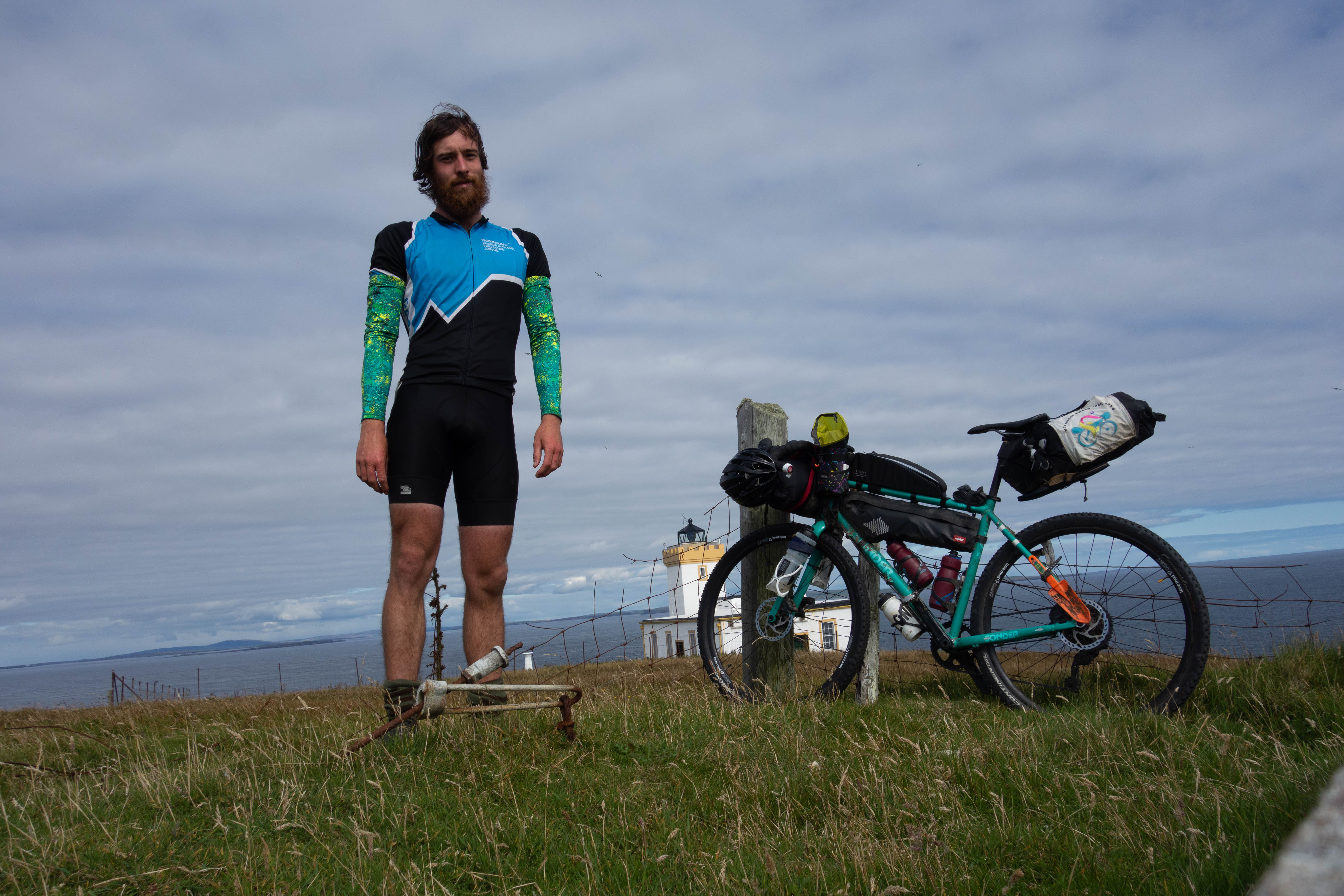
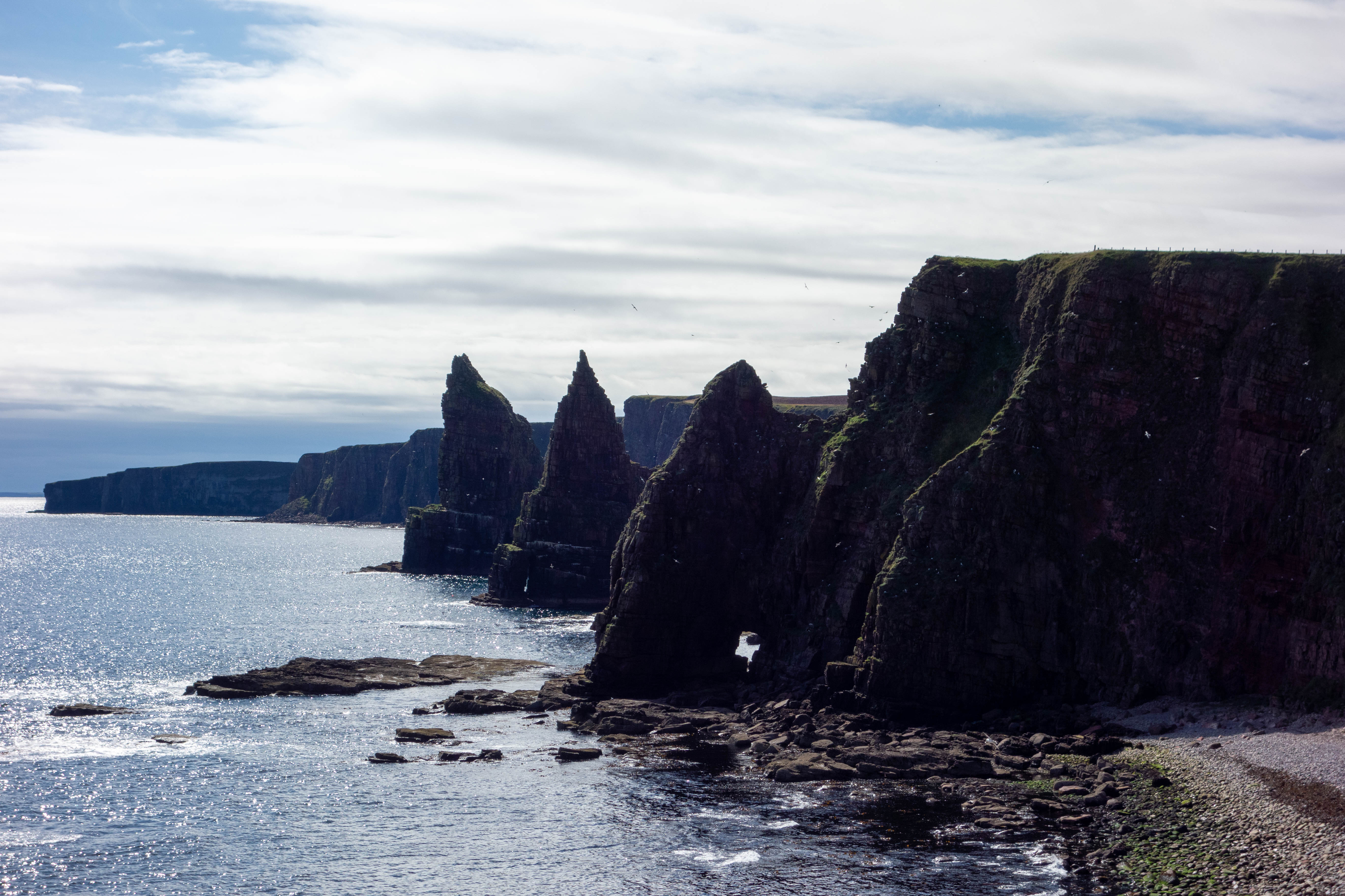
The main road into John o’ Groats had the most traffic I had seen since Durness two days ago. I turned off just after the “welcome to John o’ Groats” sign and headed east towards the lighthouse. Duncansby Head lighthouse is not as impressive as Cape Wrath. The small squat building sat nestled on the edge of the cliff and the car park was full of motorhomes and tourists. I rode along the cliff to see the sea stacks before heading back along the road and into John o’ Groats.
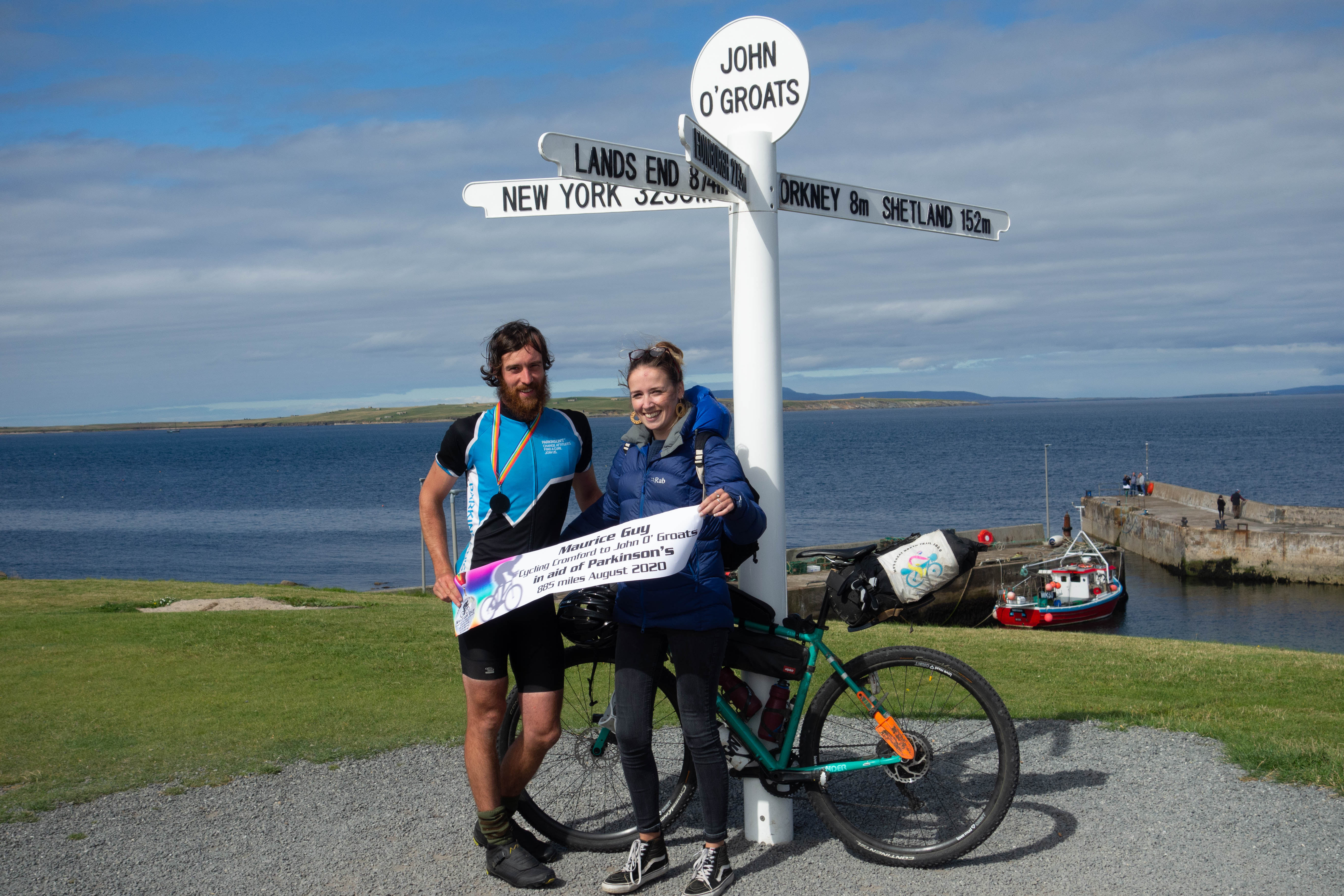
I rolled down the hill towards the harbor and the famous sign post. Selina and her mum, Fiona, were waiting for me by the sign. They had made a banner and a medal. As we joined the queue to get a photograph, I couldn’t help but think that most of the people here hadn’t earned their photograph in the same way I had. They’d missed out on the adventure that I’d had, but perhaps they’d had their own adventures. As we stood by the signpost, Fiona somehow managed to get the rest of the people waiting for their photographs to clap. I cringed slightly but tried to smile.
We wedged the bike into the hire car and headed up to Stacks Coffee House to get some food and a well-earned beer.


Thanks to Selina and Reggie for supporting me and putting up with me being out on my bike so much. To Fiona for coming with Selina to meet me at the end, To mum and dad for your continued support, to Bryan for letting me camp in your garden, to the guys in the bothey who made me tea, to everyone I meet along the trail who wished me well and to Amy Shepard for proof reading this.
